Oscoda in Iosco County, Michigan — The American Midwest (Great Lakes)
Cooke Hydro
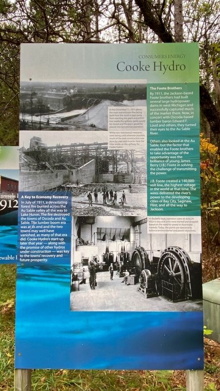
The Foote Brothers
By 1911, the Jackson-based Foote brothers had built several large hydropower dams in west Michigan and successfully captured much of the market there. Now, in concert with Oscoda-based lumber baron Edward F. Loud and others, they turned their eyes to the Au Sable River.
Others also looked at the Au Sable, but the factor that enabled the Foote brothers to take advantage of the opportunity was the brilliance of young James Berry (J.B.) Foote in solving the challenge of transmitting the power.
J.B. Foote created a 140,000-volt line, the highest voltage in the world at that time. The wires delivered the river's power to the developing cities of Bay City, Saginaw, Flint, and all the way to Jackson.
A Key to Economy Recovery
In July of 1911, a devastating forest fire burned across the Au Sable valley all the way to Lake Huron. The fire destroyed the towns of Oscoda and Au Sable. The lumber boom era was at its end and the two towns may well have vanished, as many of that era did. Cooke Hydro's start-up later that year - along with the promise of other hydros under construction - was key to the towns' recovery and future prosperity.
Erected by Consumers Energy.
Topics. This historical marker is listed in these topic lists: Industry & Commerce • Parks & Recreational Areas • Waterways & Vessels. A significant historical month for this entry is July 1911.
Location. 44° 26.146′ N, 83° 37.368′ W. Marker is in Oscoda, Michigan, in Iosco County. Marker can be reached from Monument Road, 0.2 miles north of West River Road. The marker is at the trailhead of the Highbanks Trail near the Lumberman's Monument Visitor Center. Touch for map. Marker is at or near this postal address: 5401 Monument Road, Oscoda MI 48750, United States of America. Touch for directions.
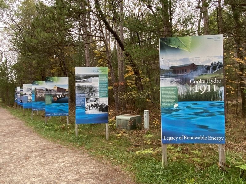
Other nearby markers. At least 8 other markers are within walking distance of this marker. A different marker also named Cooke Hydro (here, next to this marker); Five Channels Hydro (a few steps from this marker); Loud Hydro (a few steps from this marker); Five Channels & Loud Hydros (a few steps from this marker); Mio Hydro (a few steps from this marker); a different marker also named Mio Hydro (a few steps from this marker); Foote Hydro (a few steps from this marker); a different marker also named Foote Hydro (within shouting distance of this marker). Touch for a list and map of all markers in Oscoda.
Also see . . . Cooke Dam. Excerpt:
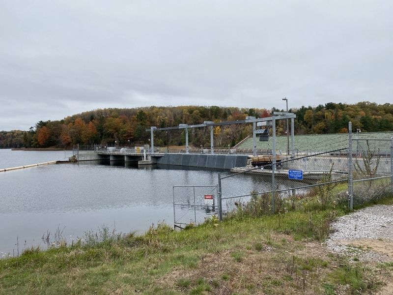
Cooke Dam is a hydro-electric dam on the Au Sable River in Michigan. It was listed on the National Register of Historic Places in 1996 as the Cooke Hydroelectric Plant.(Submitted on February 22, 2023, by J.T. Lambrou of New Boston, Michigan.)
Photographed By J.T. Lambrou, October 27, 2021
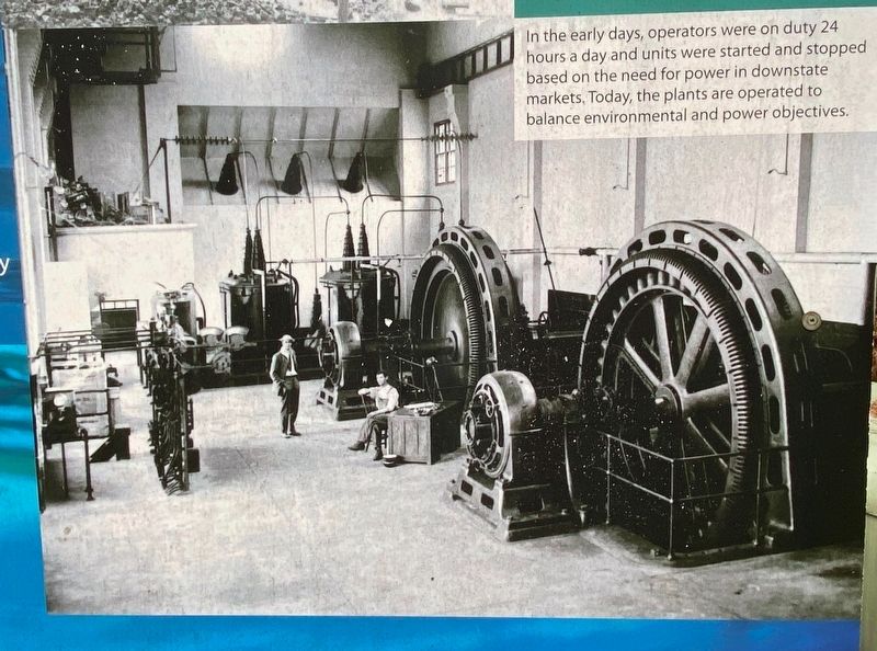
4. Cooke Hydro Turbines
Inset photo: (bottom) of turbine generators. Caption: In the early days, operators were on duty 24 hours a day and units were started and stopped based on the need for power in downstate markets. Today, the plants are operated to balance environmental and power objectives.
Credits. This page was last revised on February 26, 2023. It was originally submitted on February 22, 2023, by J.T. Lambrou of New Boston, Michigan. This page has been viewed 55 times since then and 8 times this year. Photos: 1, 2, 3, 4, 5. submitted on February 22, 2023, by J.T. Lambrou of New Boston, Michigan. • J. Makali Bruton was the editor who published this page.
