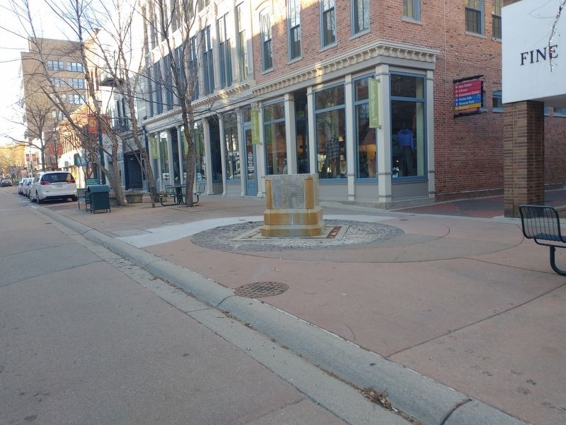
Central Business District in Kalamazoo in Kalamazoo County, Michigan — The American Midwest (Great Lakes)
Kalamazoo River
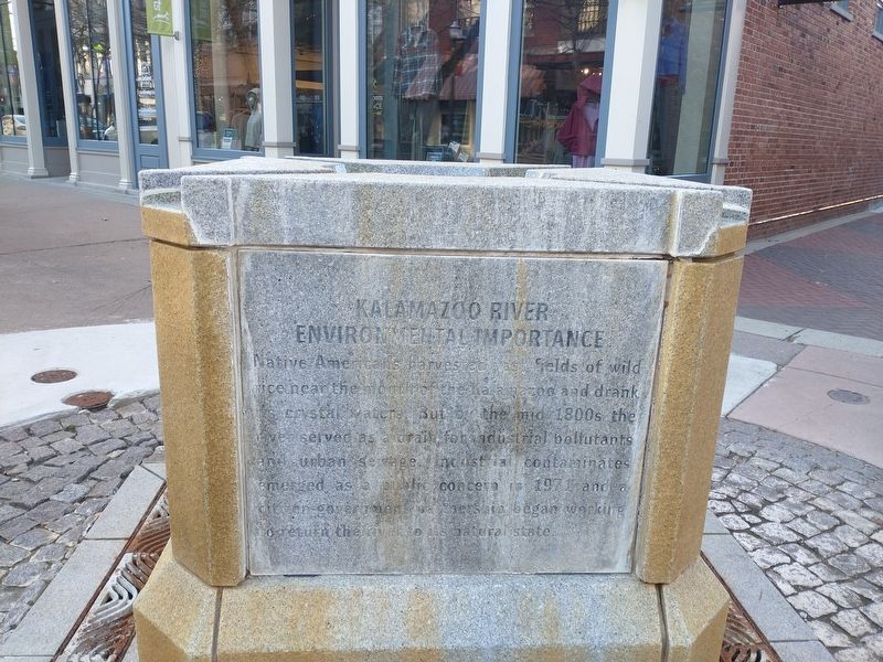
Kalamazoo River Environmental Importance
Native Americans harvested vast fields of wild rice near the mouth of the Kalamazoo and drank its crystal waters. But by the mid 1800s the river served as a drain for industrial pollutants and urban sewage. Industrial contaminants emerged as a public concern in 1971 and a citizen-government partnership began working on returning the river to its natural state.
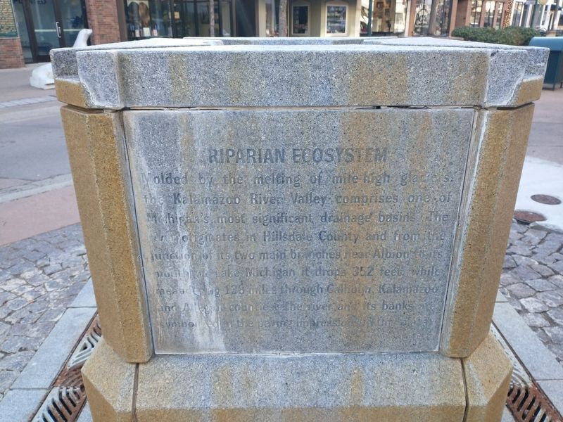
Riparian Ecosystem
Molded by the melting of mile high glaciers, the Kalamazoo River Valley comprises of Michigan's most significant drainage basins. The river originates in Hillsdale County and from the junction of its two main branches near Albion to its northern Lake Michigan it drops 352 feet while meandering 138 miles through Calhoun, Kalamazoo and Allegan counties. The river and its banks are symbolized in the paving impression in the plaza.
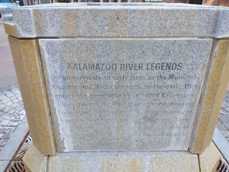
Kalamazoo River Legends
Known variously on early maps as the Muramek, Maramee and Reccanamazoo, by the early 19th century the river came to be called Kalamazoo, hydration of an Algonquian phrase meaning boiling pot. Many fanciful interpretations of its origins have been suggested but most likely the term refers to water swirling at rapids or morning mist rising steam like from its surface.
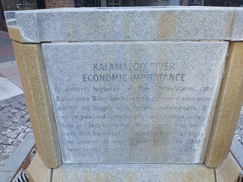
Kalamazoo River Economic Importance
A watery highway of the Potawatomi, the Kalamazoo River beckoned to pioneers who soon dotted its length with frontier settlements. Its waters powered early industry and floated rafts of flour and logs to market. Many generations fished its depths, harvested mussels that lined its bottom and enjoyed its scenic grande. But the 1930's eleven electric generating dams harnessed its flow.
Topics. This historical marker is listed in these topic lists: Industry & Commerce • Native Americans • Settlements & Settlers • Waterways & Vessels. A significant historical year for this entry is 1971.
Location. 42° 17.429′ N, 85° 34.995′ W. Marker is in Kalamazoo, Michigan, in Kalamazoo County. It is in the Central Business District. Marker is on South Kalamazoo Mall south of West Exchange Place, on the right when traveling south. Touch for map. Marker is at or near this postal address: 213 S Kalamazoo Mall, Kalamazoo MI 49007, United States of America. Touch for directions.
Other nearby markers. At least 8 other markers are within walking distance of this marker. David S. Walbridge (here, next to this marker); The Upjohn Company / William E. Upjohn (within shouting distance of this marker); Burdick Street (about 400 feet away, measured in a direct line); Art Deco (about 400 feet away); Kalamazoo 9/11 Memorial (about 500 feet away); Molly Barker (about 500 feet away); Orcutt Post G.A.R. No. 79 (about 500 feet away); U.S. Ten Inch Columbiad (about 500 feet away). Touch for a list and map of all markers in Kalamazoo.
Credits. This page was last revised on February 22, 2023. It was originally submitted on February 22, 2023, by Craig Doda of Napoleon, Ohio. This page has been viewed 116 times since then and 26 times this year. Photos: 1, 2, 3, 4, 5. submitted on February 22, 2023, by Craig Doda of Napoleon, Ohio. • Devry Becker Jones was the editor who published this page.
