Amissville in Culpeper County, Virginia — The American South (Mid-Atlantic)
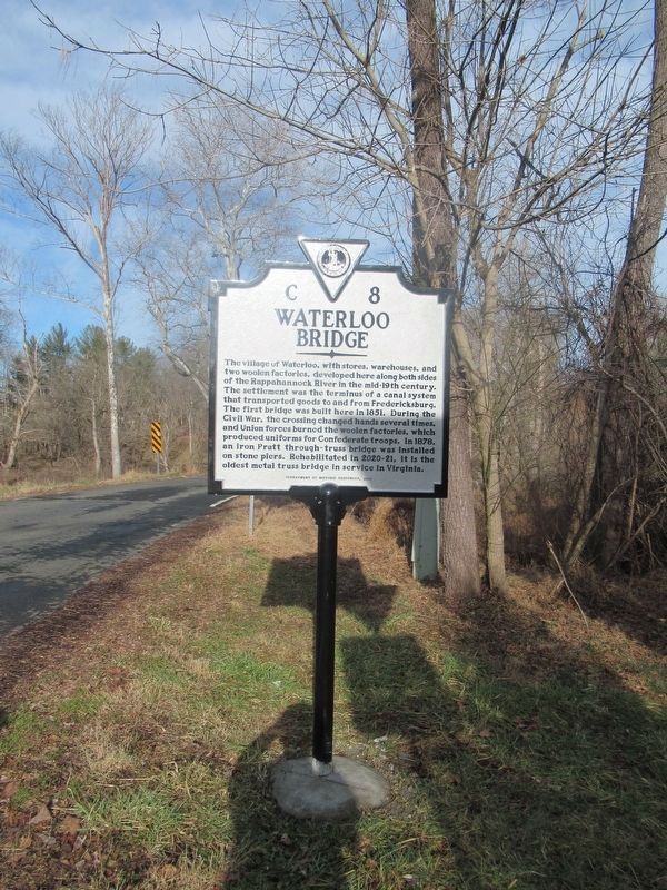
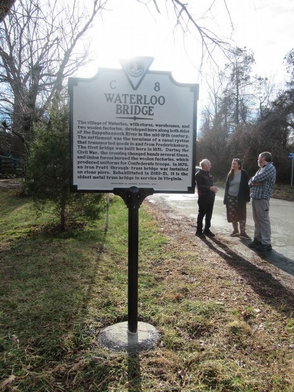
Waterloo Bridge
Erected 2022 by Department of Historic Resources. (Marker Number C-8.)
Topics. This historical marker is listed in these topic lists: Bridges & Viaducts • Industry & Commerce • Settlements & Settlers • War, US Civil. A significant historical year for this entry is 1851.
Location. 38° 41.721′ N, 77° 54.398′ W. Marker is in Amissville, Virginia, in Culpeper County. Marker is at the intersection of Old Bridge Road (Virginia Route 622) and Waterloo Road (Virginia Route 613), on the right when traveling north on Old Bridge Road. Touch for map. Marker is at or near this postal address: 329 Old Bridge Rd, Amissville VA 20106, United States of America. Touch for directions.
Other nearby markers. At least 8 other markers are within 5 miles of this marker, measured as the crow flies. Second Manassas Campaign (approx. ¾ mile away); Campaign of Second Manassas (approx. 1.4 miles away); Ashland Farm (approx. 1.9 miles away); a different marker also named Second Manassas Campaign (approx. 1.9 miles away); Culpeper County / Rappahannock County (approx. 3.8 miles away); a different marker also named Campaign of Second Manassas (approx. 4 miles away); a different marker also named Campaign of Second Manassas (approx. 4.7 miles away); Eliza Brown and the Custers (approx. 5.1 miles away). Touch for a list and map of all markers in Amissville.
More about this marker. Years after a reckless driver destroyed the old sign, a new one was recently erected on the same spot. This new marker denotes the significance of Waterloo and its bridge, making no mention of "Stuart's Ride Around Pope".
Related marker. Click here for another marker that is related to this marker. Old Marker At This Location titled "Stuart's Ride Around Pope".
Credits. This page was last revised on February 22, 2023. It was originally submitted on February 22, 2023. This page has been viewed 217 times since then and 72 times this year. Last updated on February 22, 2023. Photos: 1. submitted on February 19, 2023, by Benjamin Harrison Allen of Amissville, Virginia. 2. submitted on February 22, 2023, by Benjamin Harrison Allen of Amissville, Virginia. • Bernard Fisher was the editor who published this page.

