Springfield Township in Clark County, Ohio — The American Midwest (Great Lakes)
The National Road
Courtesy of Thomas P. Martin, June 8, 2021
1. The National Road Marker
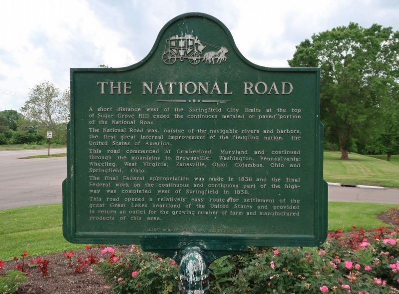
A short distance west of the Springfield City limits at the top of Sugar Grove Hill ended the continuous metaled or paved portion of the National Road.
The National Road was, outside of the navigable rivers and harbors, the first great internal improvement of the fledgling nation, the United States of America.
This road commenced at Cumberland, Maryland and continued through the mountains to Brownsville; Washington, Pennsylvania; Wheeling, West Virginia; Zanesville, Ohio; Columbus, Ohio and Springfield, Ohio.
the final Federal appropriation was made in 1836 and the final Federal work on the continuous and contiguous part of the highway was completed west of Springfield in 1838.
This road opened a relatively easy route for settlement of the great Great Lakes heartland of the United States and provided in return an outlet for the growing number of farm and manufactured products of this area.
Erected 1969 by Clark County Historical Society.
Topics and series. This historical marker is listed in this topic list: Roads & Vehicles. In addition, it is included in the The Historic National Road series list. A significant historical year for this entry is 1836.
Location. 39° 55.583′ N,
this page online

Regionally, this marker is in the Dayton Metro and in the Miami Valley. It is also in the American Midwest and in the Corn Belt. Globally, it is in North America, the Western Hemisphere, the Western World, and the Anglosphere. Historically, it finds itself in what was once the Haudenosaunee (Iroquois) Confederacy, the territory of the Mississippian Culture, and the Northwest Territory.
Other nearby markers. At least 8 other markers are within one mile of this marker, measured as the crow flies: Historic National Road (a few steps from this marker); Kenton's Stockade (approx. 0.3 miles away); The Rose City (approx. 0.3 miles away); Pennsylvania House / The National Road
Photographed by Beverly Pfingsten, June 17, 2011
2. The National Road Marker
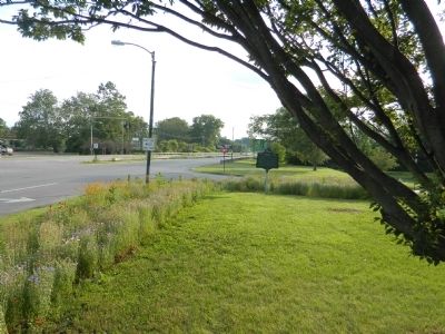
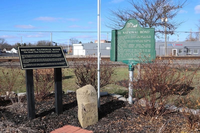
More about this marker. The marker is in the West End Pocket Park along the railroad tracks. It was originally oriented north-south so that the duplicated text was visible to both east and west bound traffic. It is now oriented east-west, so only one side is facing the street. It is next to the #305 mile marker from the National Road, which has also been relocated in this park.
Photographed by Dale K. Benington, July 22, 2019
3. The National Road Marker
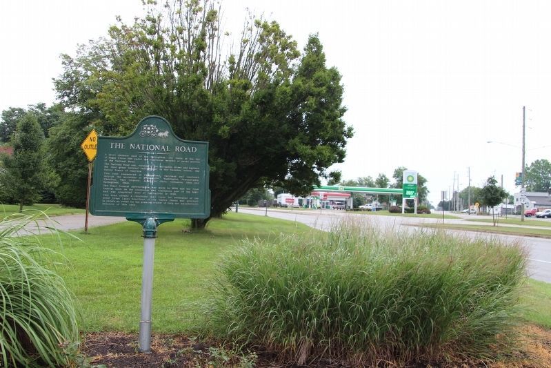
View of the marker looking east along the West National Road.
Photographed by J. Wesley Baker, January 14, 2023
4. View of the West End Pocket Park from the southeast
The stone mile marker and interpretive sign for it sit just to the west of the marker.
Credits. This page was last revised on February 24, 2023. It was originally submitted on August 4, 2011, by Bill Pfingsten of Bel Air, Maryland. This page has been viewed 1,338 times since then and 78 times this year. Last updated on February 24, 2023, by J. Wesley Baker of Springfield, Ohio. Photos: 1. submitted on June 16, 2021, by Duane and Tracy Marsteller of Murfreesboro, Tennessee. 2. submitted on August 4, 2011, by Bill Pfingsten of Bel Air, Maryland. 3. submitted on July 31, 2019, by Dale K. Benington of Toledo, Ohio. 4. submitted on February 1, 2023, by J. Wesley Baker of Springfield, Ohio. • J. Makali Bruton was the editor who published this page.
