Near Silao, Guanajuato, Mexico — The Central Highlands (North America)
Ecological Restoration Area Cerro del Cubilete
Ruta de Negocios
Inscription.
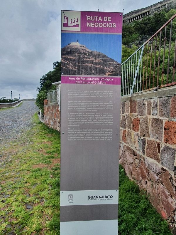
Área de Restauración Ecológica del Cerro del Cubilete
El Cerro del Cubilete es quizás el punto más icónico del paisaje de Silao. Además de su importancia para la cultura e identidad de la región, es también un área dedicada a la preservación del medio ambiente, ya que en sus linderos existen numerosas especies animales y vegetales de la región, algunas de ellas endémicas.
Esta área ocupa más de tres mil seiscientas hectáreas en los municipios de Silao y Guanajuato. Fue creada por decreto del gobierno del Estado de Guanajuato el 18 de noviembre de 2003. Su objetivo es proteger, restaurar y aprovechar sustentablemente los recursos naturales de la zona, así como detener el deterioro de los ecosistemas y disponer de un espacio para la recreación y educación ambiental de los habitantes de la región.
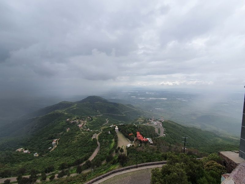
El cerro tiene una altura de 2,580 metros sobre el nivel del mar. Está cubierto por bosques templados, con una importante población de robles y encinos, además de sabinos, sauces y otras especies de árboles. Además tiene secciones de matorral, con 17 especies de arbustos y 25 de hierbas. Su fauna la constituyen pequeños mamíferos, como la zorra, el tejón, zarigüeya y algunos roedores, además de venado de cola blanca y algunos reptiles, como lagartijas y especialmente, la culebra sorda mexicana o cinduate, que actualmente está en peligro de extinción.
Además de esto, el cerro representa una importante zona de captación pluvial, que sirve para recargar el acuífero regional Silao-Romita, que es una fuente de abasto para las zonas urbanas cercanas. Para su preservación, el área se divide en cuatro zonas de manejo: de protección, de aprovechamiento sustentable, de restauración y de uso público. Estas están supervisadas por las autoridades, pero es responsabilidad de todos los visitantes el acatar las reglas para que este hermoso lugar cumpla su función como patrimonio natural de todos los mexicanos.
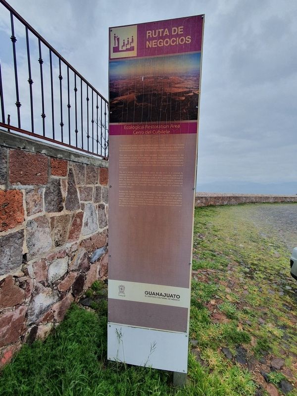
Ecological Restoration Area Cerro del Cubilete
The Cerro del Cubiltie is perhaps the most iconic scenery spot of Silao. Besides its cultural and identity importance for the region, it is also an area dedicated to the environmental preservation of its endemic animals and plant species. This area covers more than three thousand six hundred hectares in the municipalities of Silao and Guanajuato. It was created by Guanajuato's State government decree on November 2003 aimed to protect, restore and sustainably exploit
natural resources in the area, to stop the deterioration of ecosystems and
to have a recreational and environmental education space for the inhabitants of
the region.
The hill's height is of 2.580 meters above the sea level. It is covered by temperate forests, with large populations of oak trees, cypresses, willows and other tree species. It also has sections of scrub, with 17 species of shrubs and 25 herbs. Its fauna consists of small mammals such as foxes, badgers, opossums and some rodents, besides whitetail deer and some reptiles, such as lizards and especially the deaf or "cincuate" Mexican snake, which is currently in extinction danger.
Besides this, the mountain is an important area for collecting rainwater, used to recharge the regional aquifer Silao-Romita, a supply source of water for the nearby urban areas. For its preservation, the area is divided into four management zones: protection, sustainable utilization restoration and public use. These are being monitored by the authorities, but it is the responsibility of all visitors to follow the rules of this beautiful place to fulfill its role as a natural heritage for all Mexicans.
Erected by Gobierno del Estado de Guanajuato.
Topics. This historical marker is listed in these topic lists: Environment
• Parks & Recreational Areas. A significant historical month for this entry is November 2003.
Location. 21° 0.78′ N, 101° 22.192′ W. Marker is near Silao, Guanajuato. Marker is on Cerro del Cubilete, on the right. Touch for map. Marker is at or near this postal address: Cerro del Cubilete S/N, Silao GTO 36290, Mexico. Touch for directions.
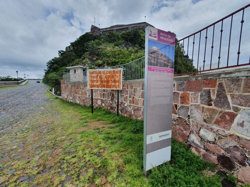
Other nearby markers. At least 8 other markers are within 10 kilometers of this marker, measured as the crow flies. The Sanctuary of the Queen of Mexico (about 180 meters away, measured in a direct line); Sanctuary of Christ the King (about 210 meters away); Montezuma, New Mexico Seminary (approx. half a kilometer away); The Sanctuary of Guadalupe (approx. 9.5 kilometers away); Efraín Huerta (approx. 9.5 kilometers away); Felice Bonetto (approx. 9.5 kilometers away); The Josephine Missionaries in the Diocese of León (approx. 9.6 kilometers away); General Manuel González Flores (approx. 9.6 kilometers away). Touch for a list and map of all markers in Silao.
Credits. This page was last revised on February 25, 2023. It was originally submitted on February 25, 2023, by J. Makali Bruton of Accra, Ghana. This page has been viewed 65 times since then and 12 times this year. Photos: 1, 2, 3, 4. submitted on February 25, 2023, by J. Makali Bruton of Accra, Ghana.


