Daytona Beach in Volusia County, Florida — The American South (South Atlantic)
City Docks District
Downtown Daytona Beach Plaza
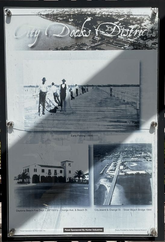
(Panel 1)
(Captions)
Early Fishing - 1900 photo courtesy of Halifax Historical Museum
Daytona Beach Fire Dept. Late 1920's - Orange Ave. & Beach St. photo courtesy of Halifax Historical Museum
City Island & Orange St. - Silver Beach Bridge 1944 photo courtesy of Halifax Historical Museum
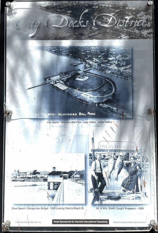
(Panel 2)
(Captions)
City Island - Islanders Ball Park - Late 1930's - Early 1940's photo courtesy of Halifax Historical Museum
Silver Beach / Orange Ave. Bridge - 1900 Looking West to Beach St. photo courtesy of Halifax Historical Museum
Mr. & Mrs. Smith Caught Snappers - 1938 photo courtesy of Halifax Historical Museum
Erected by The City of Daytona Beach and Daytona International Speedway.
Topics. This historical marker is listed in these topic lists: Entertainment • Industry & Commerce • Notable Events. A significant historical year for this entry is 1900.
Location. 29° 12.74′ N, 81° 1.189′ W. Marker is in Daytona Beach, Florida, in Volusia County. Marker is at the intersection of North Beach Street and West International Speedway Boulevard (U.S. 92), on the right when traveling south on North Beach Street. The marker is located within the Downtown Daytona Beach Plaza. Touch for map. Marker is at or near this postal address: 108 North Beach Street, Daytona Beach FL 32114, United States of America. Touch for directions.
Other nearby markers. At least 8 other markers are within walking distance of this marker. Nature District (here, next to this marker); Arts District (here, next to this marker); Halifax Harbor District (here, next to this marker); Dr. Josie Rogers (here, next to this marker); Esplanade District (here, next to this marker); Jessup's Building (within shouting distance of this marker); 132 North Beach Street (within shouting distance of this marker); 140 North Beach Street (about 300 feet away, measured in a direct line). Touch for a list and map of all markers in Daytona Beach.
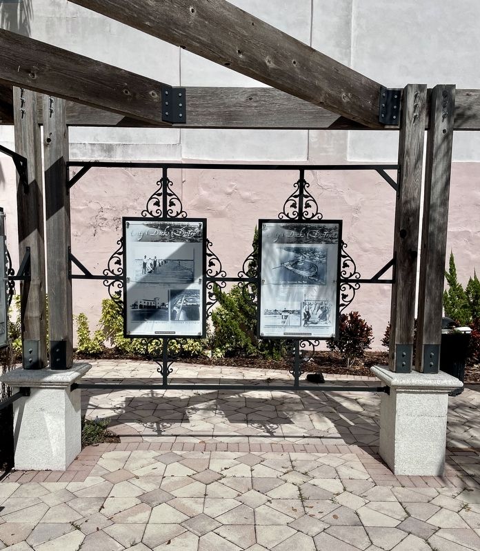
More about this marker. The Riverfront Park Master Plan, developed as a collaborative effort involving the citizens and business community of Daytona Beach is divided into five districts representing Nature, the Arts, the historic Esplanade, the City Docks and the Halifax Harbor.
Credits. This page was last revised on March 2, 2023. It was originally submitted on March 1, 2023, by Brandon D Cross of Flagler Beach, Florida. This page has been viewed 57 times since then and 4 times this year. Photos: 1, 2, 3, 4. submitted on March 1, 2023, by Brandon D Cross of Flagler Beach, Florida. • J. J. Prats was the editor who published this page.


