Downtown Detroit in Wayne County, Michigan — The American Midwest (Great Lakes)
Fort Lernoult
Registered Michigan Historic Site
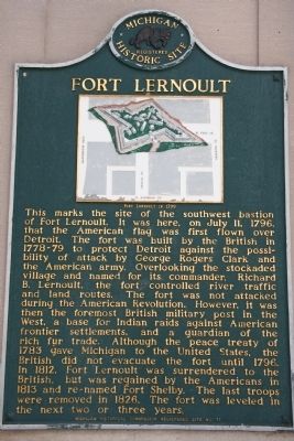
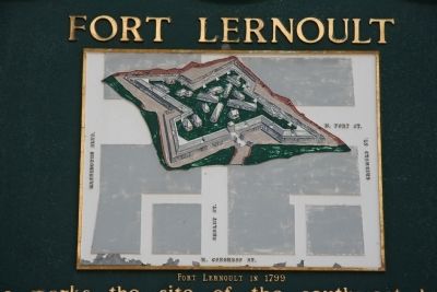
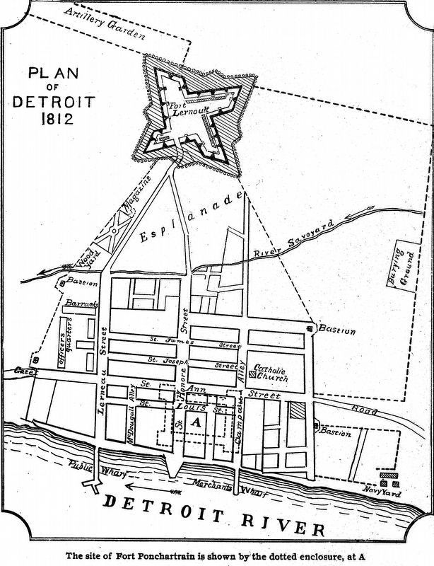
This marks the site of the southwest bastion of Fort Lernoult. It was here, on July 11, 1796, that the American flag was first flown over Detroit. The fort was built by the British in 1778-79 to protect Detroit against the possibility of attack by George Rogers Clark and the American army. Overlooking the stockaded village and named for its commander, Richard B. Lernoult, the fort controlled river traffic and land routes. The fort was not attacked during the American Revolution. However, it was then the foremost British military post in the West, a base for Indian raids against American frontier settlements, and a guardian of the rich fur trade. Although the peace treaty of 1783 gave Michigan to the United States, the British did not evacuate the fort until 1796. In 1812, Fort Lernoult was surrendered to the British, but was regained by the Americans in 1813 and re-named Fort Shelby. The last troops were removed in 1826. The fort was leveled in the next two or three years.
Erected 1964 by Michigan Historical Commission Registered Site. (Marker Number 71.)
Topics and series. This historical marker is listed in these topic lists: Forts and Castles • War of 1812 • War, US Revolutionary • Wars, US Indian. In addition, it is included in the Michigan Historical Commission series list. A significant historical month for this entry is July 1888.
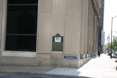
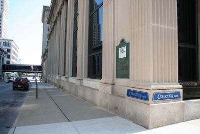
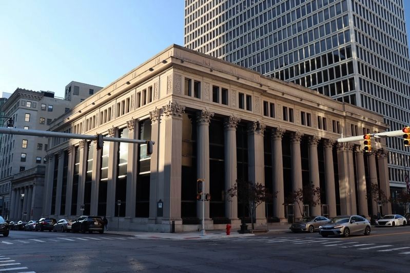
Location. 42° 19.793′ N, 83° 2.922′ W. Marker is in Detroit, Michigan, in Wayne County. It is in Downtown Detroit. Marker is at the intersection of Shelby Street and West Fort Street (Michigan Highway 85), on the right when traveling south on Shelby Street. This historical marker is located on the south-west corner of the intersection of West Fort Street and Shelby Street in downtown Detroit. It is affixed to the outside corner wall of the commercial building that is situated there. Touch for map. Marker is in this post office area: Detroit MI 48226, United States of America. Touch for directions.
Other nearby markers. At least 8 other markers are within walking distance of this marker. Comerica Incorporated (within shouting distance of this marker); State Savings Bank (about 300 feet away, measured in a direct line); History of the Penobscot Building (about 500 feet away); Ford Building (about 500 feet away); Detroit Club (about 600 feet away); James A. Bailey (about 600 feet away); Chicago Road (approx. 0.2 miles away); The Iron Brigade / The Twenty-Fourth Michigan Volunteer Infantry Regiment (approx. 0.2 miles away). Touch for a list and map of all markers in Detroit.
Related markers.
Click here for a list of markers that are related to this marker. To better understand the relationship, study each marker in the order shown.
Also see . . .
1. Fort Lernoult. Detroit 1701 website entry (Submitted on August 22, 2009.)
2. Fort Shelby (Michigan). Wikipedia entry (Submitted on August 22, 2009, by Dale K. Benington of Toledo, Ohio.)
Credits. This page was last revised on November 21, 2023. It was originally submitted on August 17, 2009, by Dale K. Benington of Toledo, Ohio. This page has been viewed 2,167 times since then and 132 times this year. Photos: 1, 2, 3, 4. submitted on August 17, 2009, by Dale K. Benington of Toledo, Ohio. 5. submitted on April 23, 2018, by Allen C. Browne of Silver Spring, Maryland. 6. submitted on November 17, 2023, by Trevor L Whited of Kokomo, Indiana. • Syd Whittle was the editor who published this page.
