Dearborn in Wayne County, Michigan — The American Midwest (Great Lakes)
Making Moves
Transportation in Dearborn
Dearborn has long been a transportation hub,
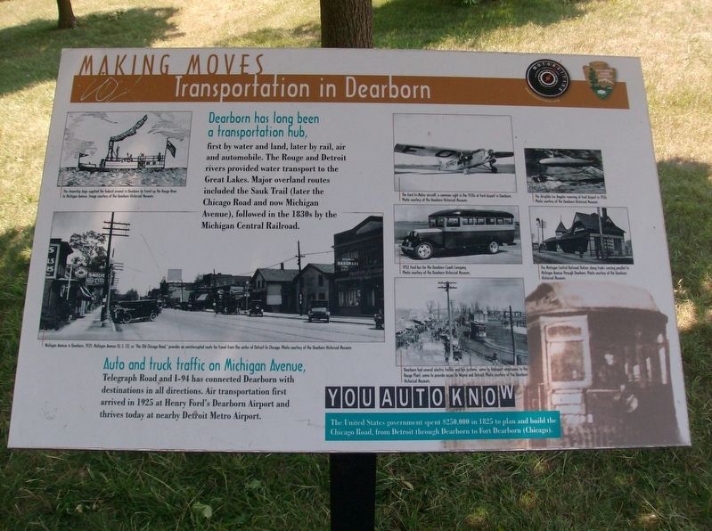
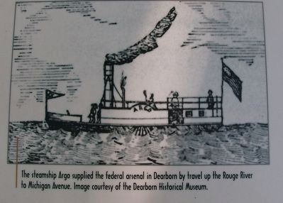
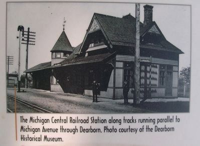
first by water and land, later by rail, air and automobile. The Rouge and Detroit rivers provided water transport to the Great Lakes. Major overland routes included the Sauk Trail (later the Chicago Road and now Michigan Avenue), followed in the 1830s by the Michigan Central Railroad.
Auto and truck traffic on Michigan Avenue,
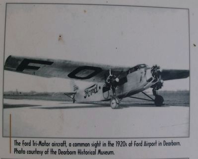
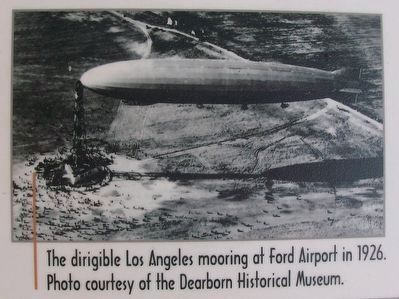
Telegraph Road and I-94 has connected Dearborn with destinations in all directions. Air transportation first arrived in 1925 at Henry Ford's Dearborn Airport and thrives today at nearby Detroit Metro Airport.
You Auto Know
The United States government spent $250,00 in 1825 to plan and build the Chicago Road, from Detroit through Dearborn to Fort Dearborn (Chicago).
Erected by Motorcities National Heritage Area, National Park Service.
Topics and series. This historical marker is listed in these topic lists: Air & Space • Railroads & Streetcars • Roads & Vehicles. In addition, it is included in the MotorCities National Heritage Area series list. A significant historical year for this entry is 1925.
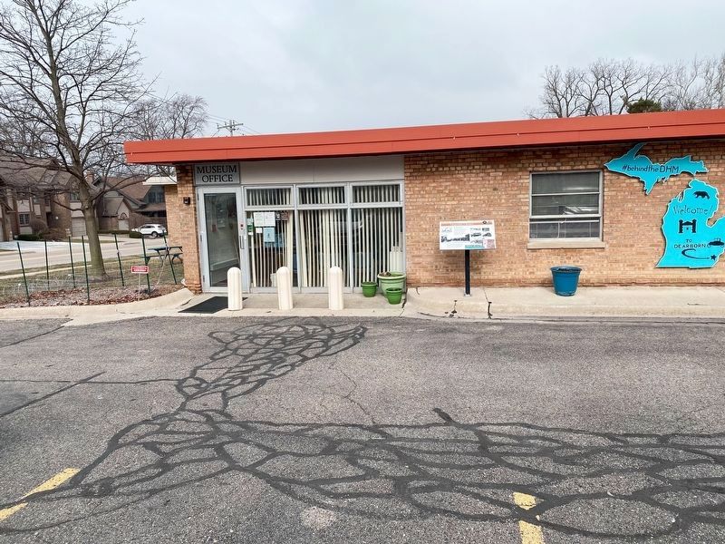
Location. 42° 18.5′ N, 83° 14.413′ W. Marker is in Dearborn, Michigan, in Wayne County. Marker is at the intersection of South Brady Street and Garrison Street, on the right when traveling north on South Brady Street. Touch for map. Marker is at or near this postal address: 915 South Brady Street, Dearborn MI 48124, United States of America. Touch for directions.
Other nearby markers. At least 8 other markers are within walking distance of this marker. U.S. Arsenal 1839-1875 Powder Magazine (within shouting distance of this marker); U. S. Arsenal - - - Armory (approx. 0.2 miles away); U.S. Arsenal-Sutler's Shop (approx. 0.2 miles away); A Military Reserve (approx. 0.2 miles away); Michigan Soldiers Trained at U.S. Arsenal During Civil War (approx. ¼ mile away); Commandant's Quarters (approx. ¼ mile away); U.S. Arsenal Officers' - Surgeons' Quarters and Barracks 1833 - 1875 (approx. ¼ mile away); U.S. Arsenal 1833 - 1875 (approx. ¼ mile away). Touch for a list and map of all markers in Dearborn.
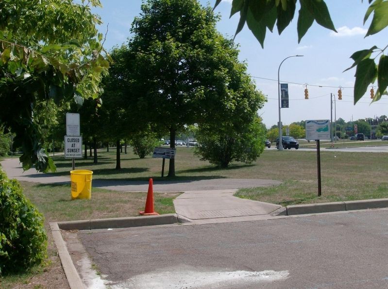
More about this marker. Marker was moved. It was originally located at a trailhead of the Rouge River Gateway Trail (42.308370, -83.236534) along Michigan Avenue (U.S. Highway 12), 0.3 miles southeast.
Photographed By Joel Seewald, August 10, 2016
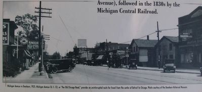
3. Making Moves: Transportation in Dearborn Marker — lower left image
Michigan Avenue in Dearborn, 1925. Michigan Avenue (U. S. 12), or "the Old Chicago Road," provides an uninterrupted route for travel from the center of Detroit to Chicago. Photo courtesy of the Dearborn Historical Museum.
Photographed By Joel Seewald, August 10, 2016
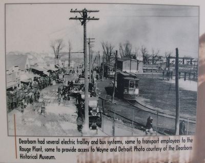
6. Making Moves: Transportation in Dearborn Marker — bottom center image
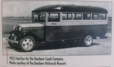
Dearborn had several electric trolley and bus systems, some to transport employees to the Rouge Plant, some to provide access to Wayne and Detroit. Photo courtesy of the Dearborn Historical Museum.
Photographed By Joel Seewald, October 7, 2019
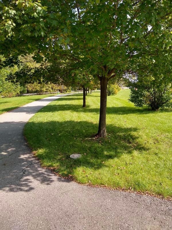
11. Missing Making Moves: Transportation in Dearborn Marker
The marker was removed during the Wayne County and Alliance of Rouge Communities' Henry Ford Estate Dam Fishway Habitat Restoration Project.
Credits. This page was last revised on July 18, 2023. It was originally submitted on August 14, 2016, by Joel Seewald of Madison Heights, Michigan. This page has been viewed 496 times since then and 31 times this year. Last updated on March 3, 2023, by J.T. Lambrou of New Boston, Michigan. Photos: 1, 2, 3, 4, 5, 6, 7, 8. submitted on August 14, 2016, by Joel Seewald of Madison Heights, Michigan. 9. submitted on March 3, 2023, by J.T. Lambrou of New Boston, Michigan. 10. submitted on August 14, 2016, by Joel Seewald of Madison Heights, Michigan. 11. submitted on January 7, 2020, by Joel Seewald of Madison Heights, Michigan. • J. Makali Bruton was the editor who published this page.
