Near Schuylerville in Saratoga County, New York — The American Northeast (Mid-Atlantic)
A Route Well Traveled
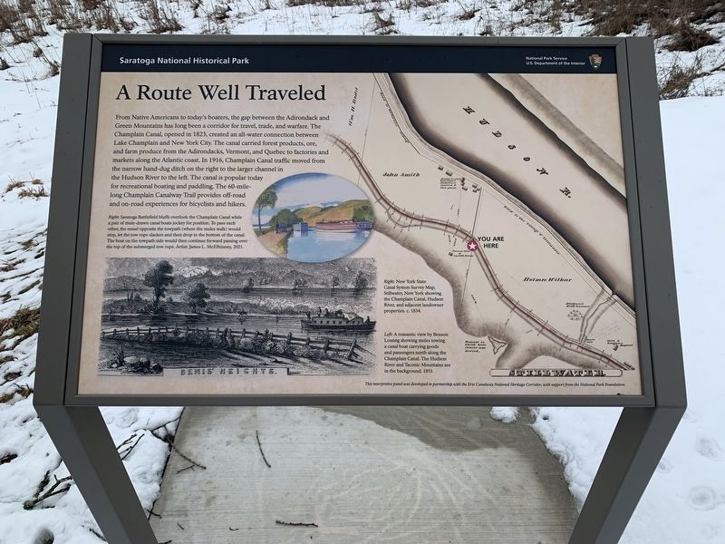
From Native Americans to today's boaters, the gap between the Adirondack and Green Mountains has long been a corridor for travel, trade, and warfare. The Champlain Canal, opened in 1823, created an all-water connection between Lake Champlain and New York City. The canal carried forest products, ore, and farm produce from the Adirondacks, Vermont, and Quebec to factories and markets along the Atlantic coast. In 1916, Champlain Canal traffic moved from the narrow hand-dug ditch on the right to the larger channel in the Hudson River to the left. The canal is popular today for recreational boating and paddling. The 60-mile-long Champlain Canalway Trail provides off-road and on-road experiences for bicyclists and hikers.
Right: Saratoga Battlefield bluffs overlook overlook the Champlain Canal while a pair of mule-drawn canal boats jockey for position. To pass each other, the vessel opposite the towpath (where the mules walk) would stop, let the tow rope slacken and then drop to the bottom of the canal. The boat on the towpath side would then continue forward passing over the top of the submerged tow rope Artist: James L. McElhinney, 2021.
[Below] Right: New York State Canal System Survey Map, Stillwater, New York showing the Champlain Canal Hudson River and adjacent landowner properties c. 1834
Left: A romantic view by Benson Lossing showing mules towing a canalboat carrying goods and passengers north along the Champlain Canal. The Hudson River and Taconic Mountains are in the background. 1851
This interpretive panel was developed in partnership with Erie Canalway National Heritage Corridor with support from the National Park Foundation.
Erected by Saratoga National Historic Park, Erie Canalway National Heritage Corridor, National Park Foundation.
Topics. This historical marker is listed in this topic list: Waterways & Vessels. A significant historical year for this entry is 1823.
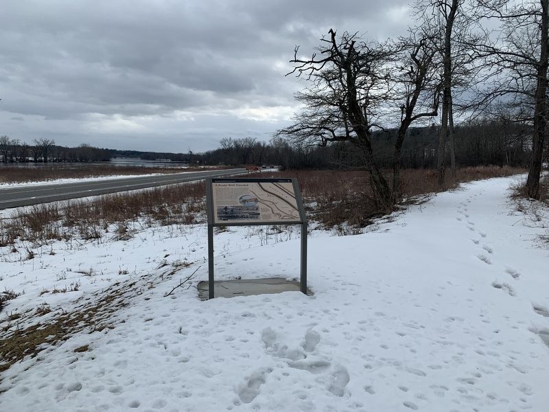
Location. 43° 0.273′ N, 73° 36.328′ W. Marker is near Schuylerville, New York, in Saratoga County. Marker is on Empire State Trail (U.S. 4) half a mile north of Phillips Road, on the right when traveling south. Marker is on the canal trail, and not on the road. Touch for map. Marker is in this post office area: Stillwater NY 12170, United States of America. Touch for directions.
Other nearby markers. At least 8 other markers are within walking distance of this marker. Surviving Portion of Champlain Canal (within shouting distance of this marker); Site of the Taylor Cabin (within shouting distance of this marker); Crown Forces Baggage Park (about 700 feet away, measured in a direct line); The Great Redoubt (approx. 0.2 miles away); Burial Site of General Fraser (approx. 0.2 miles away); Crown Forces Artillery Park (approx. 0.2 miles away); Retreat, Pursuit, and Surrender (approx. 0.3 miles away); Main Crown Forces Hospital (approx. 0.3 miles away).
Credits. This page was last revised on March 8, 2023. It was originally submitted on March 5, 2023, by Steve Stoessel of Niskayuna, New York. This page has been viewed 88 times since then and 22 times this year. Photos: 1, 2, 3. submitted on March 5, 2023, by Steve Stoessel of Niskayuna, New York. • Bill Pfingsten was the editor who published this page.


