Branchville in Odenville in St. Clair County, Alabama — The American South (East South Central)
Liberty Church, School, and Graveyard
Inscription.
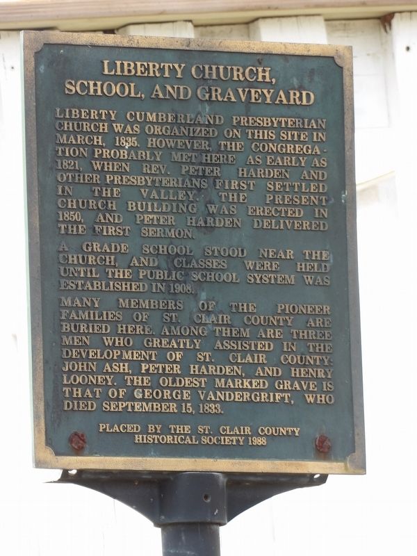
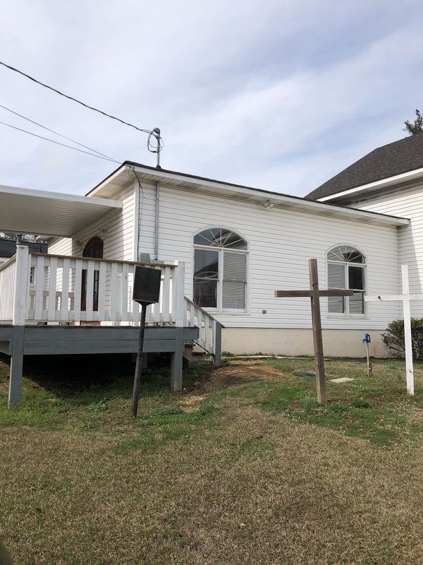
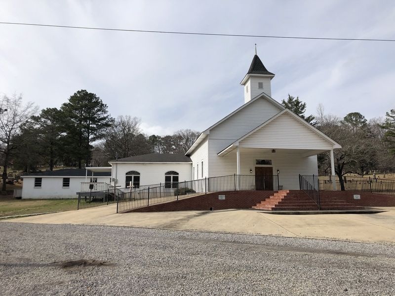
Liberty Cumberland Presbyterian Church was organized on this site in March, 1835. However, the congregation probably met here as early as 1821, when Rev. Peter Harden and other Presbyterians first settled in the valley. The present church building was erected in 1850, and Peter Harden delivered the first sermon.
A grade school stood near the church, and classes were held until the public school system was established in 1908.
Many members of the pioneer families of St. Clair County are buried here. Among them are three men who greatly assisted in the development of St. Clair County: John Ash, Peter Harden, and Henry Looney. The oldest marked grave is that of George Vandergrift, who died September 15, 1833.
Erected 1988 by St. Clair County Historical Society.
Topics. This historical marker is listed in these topic lists: Cemeteries & Burial Sites • Churches & Religion • Education. A significant historical month for this entry is March 1835.
Location. 33° 41.542′ N, 86° 23.305′ W. Marker is in Odenville, Alabama, in St. Clair County. It is in Branchville. Marker is at the intersection of Liberty Road and U.S. 411, on the right when traveling west on Liberty Road. Touch for map. Marker is at or near this postal address: 15509 US-411, Odenville AL 35120, United States of America. Touch for directions.
Other nearby markers. At least 8 other markers are within 10 miles of this marker, measured as the crow flies. Town of Margaret (approx. 5 miles away); Site of the Cook Springs Hotel (approx. 6.8 miles away); First Baptist Church Of Springville (approx. 7.7 miles away); Harkey’s Chapel United Methodist Church (approx. 7.9 miles away); Original Site of Pleasant Hill Methodist Church (approx. 8.9 miles away); The Cahaba Heart River of Alabama (approx. 9.2 miles away); Pell City’s Historical Residential District (approx. 9.3 miles away); The Mill Village (approx. 9.3 miles away).
Also see . . .
1. Liberty Cemetery. Just north of Odenville, in the sheltering earth of Liberty Cemetery, repose the remains of some of St. Clair County’s early settlers in Beaver Valley. (Joe Whitten, Discover: The Essence of St. Clair, posted Aug. 2, 2018) (Submitted on March 7, 2023, by Duane and Tracy Marsteller of Murfreesboro, Tennessee.)
2. Liberty Cemetery. Find a Grave entry on the cemetery includes details on nearly 950 burials there. (Submitted on March 7, 2023, by Duane and Tracy Marsteller of Murfreesboro, Tennessee.)
Credits. This page was last revised on March 7, 2023. It was originally submitted on March 7, 2023, by Duane and Tracy Marsteller of Murfreesboro, Tennessee. This page has been viewed 99 times since then and 33 times this year. Photos: 1, 2, 3. submitted on March 7, 2023, by Duane and Tracy Marsteller of Murfreesboro, Tennessee.


