Midtown - Downtown in Columbia in Richland County, South Carolina — The American South (South Atlantic)
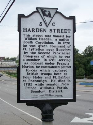
Harden Street
Erected 1978 by Richland County Bicentennial Commission Sponsored By Sears, Roebuck and Co. (Marker Number 40-91.)
Topics. This historical marker is listed in these topic lists: Roads & Vehicles • War, US Revolutionary. A significant historical year for this entry is 1776.
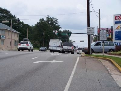
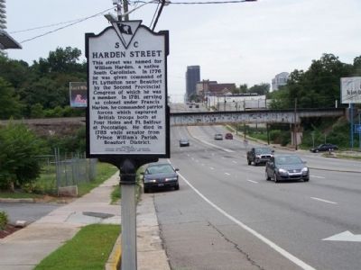
Location. 34° 0.327′ N, 81° 1.152′ W. Marker is in Columbia, South Carolina, in Richland County. It is in Midtown - Downtown. Marker is at the intersection of Gervais Street (U.S. 1/378) and Harden Street, on the right when traveling east on Gervais Street. Touch for map. Marker is in this post office area: Columbia SC 29201, United States of America. Touch for directions.
Other nearby markers. At least 8 other markers are within walking distance of this marker. St. Luke's Episcopal Church (approx. 0.2 miles away); Gregg Street (approx. 0.2 miles away); Columbia Hospital "Negro Unit" / Columbia Hospital "Negro Nurses" (approx. 0.2 miles away); Alston House (approx. ¼ mile away); First Calvary Baptist Church (approx. ¼ mile away); Fair-Rutherford House / Rutherford House (approx. ¼ mile away); Matthew J. Perry House (approx. ¼ mile away); Waverly Five and Dime / George Elmore and Elmore v. Rice (approx. ¼ mile away). Touch for a list and map of all markers in Columbia.
Credits. This page was last revised on February 16, 2023. It was originally submitted on August 19, 2009, by Mike Stroud of Bluffton, South Carolina. This page has been viewed 1,066 times since then and 52 times this year. Photos: 1, 2, 3. submitted on August 19, 2009, by Mike Stroud of Bluffton, South Carolina. • Craig Swain was the editor who published this page.


