
Maysville in Mason County, Kentucky — The American South (East South Central)
Maysville G.A.R. Monument
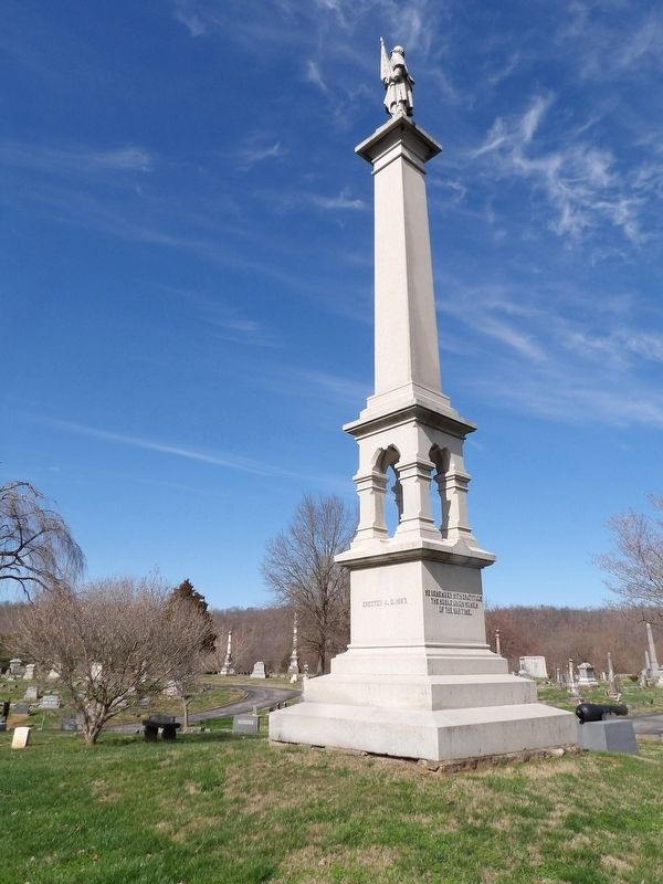
Photographed by Duane and Tracy Marsteller, March 4, 2023
1. Maysville G.A.R. Monument Marker
[North face] This monument is erected in honor of the men who volunteered in the Union Army from Mason County, Ky., and served in the War of 1861-1865.
[East face] A People’s Tribute.
[South face] We remember with gratitude the noble Union women of the war time.
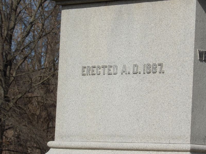
[West face] Erected A.D. 1887.
Erected 1887 by Joseph Heiser Post No. 13, Grand Army of the Republic.
Topics and series. This monument and memorial is listed in this topic list: War, US Civil. In addition, it is included in the The Grand Army of the Republic series list.
Location. 38° 38.276′ N, 83° 43.827′ W. Monument is in Maysville, Kentucky, in Mason County. It can be reached from Forest Avenue (Kentucky Route 10). Monument is in Maysville/Mason County Cemetery. Touch for map. Monument is at or near this postal address: 1521 Forest Ave, Maysville KY 41056, United States of America. Touch for directions.

Regionally, this memorial monument is in Kentucky’s Outer Bluegrass. It is also in the American South, specifically in the Upper South, and in the Ohio River Valley. Globally, it is in North
this page online
Other nearby markers. At least 8 other markers are within 2 miles of this marker, measured as the crow flies: Simon Kenton Memorial (approx. 1.8 miles away); Mason County, 1788 (approx. 1.8 miles away); Mason County Spy Company (approx. 1.8 miles away); Maysville Shipbuilding / "Maysville's" Voyaging (approx. 1.8 miles away); Lewis and Clark in Kentucky / John Colter (ca. 1775-1813) (approx. 1.8 miles away); Buffalo Trace (approx. 1.8 miles away); John Samuel Darrough / Medal of Honor Recipient (approx. 1.9 miles away); Limestone Landing (approx. 1.9 miles away). Touch for a list and map of all markers in Maysville.
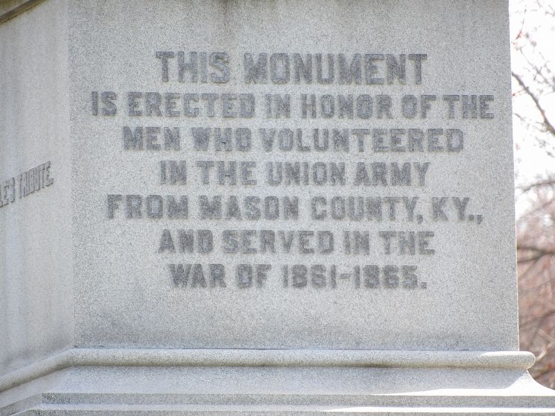
Photographed by Duane and Tracy Marsteller, April 18, 2019
2. Maysville G.A.R. Monument detail (North face)
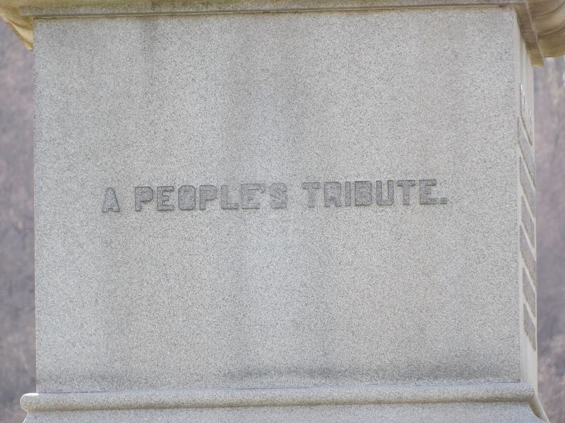
Photographed by Duane and Tracy Marsteller, April 18, 2019
3. Maysville G.A.R. Monument detail (East face)
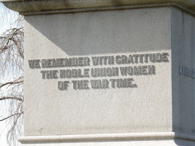
Photographed by Duane and Tracy Marsteller, April 18, 2019
4. Maysville G.A.R. Monument detail (South face)
Photographed by Duane and Tracy Marsteller, April 18, 2019
5. Maysville G.A.R. Monument detail (West face)
Photographed by Duane and Tracy Marsteller, April 18, 2019
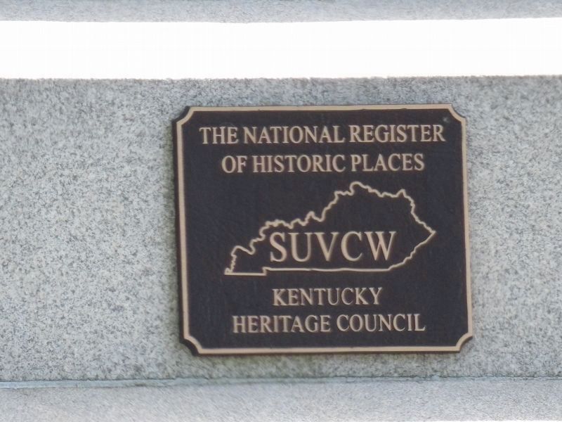
6. Maysville G.A.R. Monument's National Register of Historic Places plaque.
National Register of Historic Places Registration form HERE
Click for more information.
Click for more information.
Credits. This page was last revised on March 11, 2023. It was originally submitted on March 10, 2023, by Duane and Tracy Marsteller of Murfreesboro, Tennessee. This page has been viewed 541 times since then and 45 times this year. Photos: 1, 2, 3, 4, 5, 6. submitted on March 10, 2023, by Duane and Tracy Marsteller of Murfreesboro, Tennessee.
