
Near Cynthiana in Harrison County, Kentucky — The American South (East South Central)
Lindsey Cemetery / Makemson Mill and Distillery
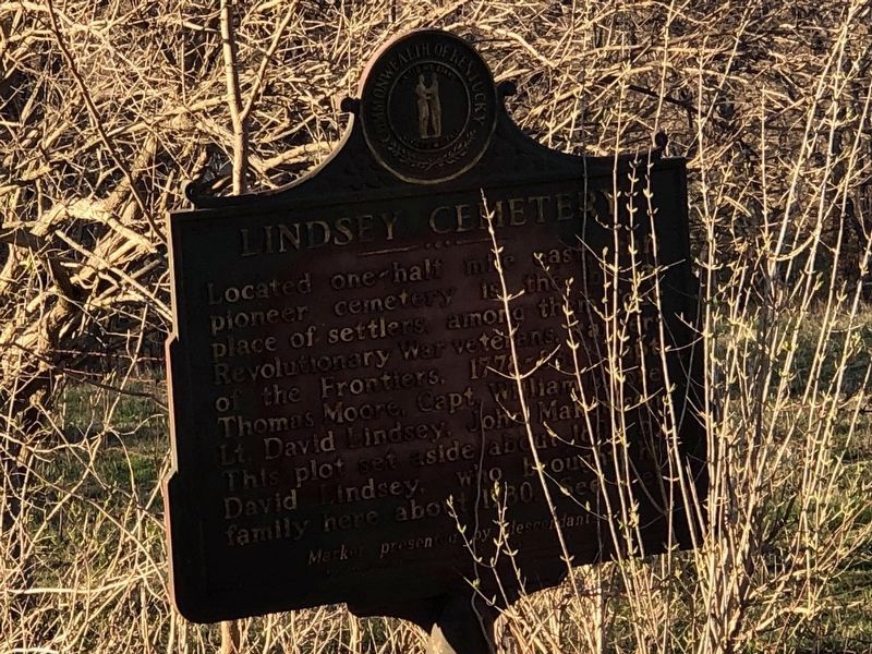
Photographed By Duane and Tracy Marsteller, March 4, 2023
1. Lindsey Cemetery side of marker
Makemson Mill and Distillery Operated in the early 1800s and located on adjacent Mill Creek, on land purchased in 1795 by the Makemson (McKemson) family, who intermarried with the Lindseys. David Lindsey appointed Harrison County's first coroner, 1794. John and Andrew Makemson appointed surveyors in 1807.
Erected 1968 by Kentucky Historical Society • Kentucky Department of Highways. (Marker Number 1220.)
Topics and series. This historical marker is listed in these topic lists: Cemeteries & Burial Sites • Industry & Commerce • Settlements & Settlers. In addition, it is included in the Kentucky Historical Society series list. A significant historical year for this entry is 1800.
Location. 38° 25.742′ N, 84° 19.468′ W. Marker is near Cynthiana, Kentucky, in Harrison County. Marker is on Carl Stevens
this page online
Other nearby markers. At least 8 other markers are within 3 miles of this marker, measured as the crow flies. Battle of Keller's Bridge (approx. 1.8 miles away); The Confederates Here (approx. 2.7 miles away); Former Site of Banneker High School (approx. 2.8 miles away); The Old Cemetery (approx. 2.8 miles away); Old Log Court House (approx. 3.1 miles away); 9/11 20th Anniversary Memorial (approx. 3.1 miles away); Memorial to the September 11, 2001 Attack on America (approx. 3.1 miles away); Harrison County World War II/Korean War Memorial (approx. 3.1 miles away). Touch for a list and map of all markers in Cynthiana.
Also see . . .
1. Lindsey Cemetery. The cemetery, also known as Moore Cemetery, is in a densely wooded area adjacent to Mill Creek northwest of Cynthiana. (Kentucky Genealogy Trails) (Submitted on March 12, 2023, by Duane and Tracy Marsteller of Murfreesboro, Tennessee.)
2. Lindsey-Moore Cemetery. Grave marker photographs and details about those buried in the graveyard. (Find a Grave) (Submitted on March 12, 2023, by Duane and Tracy Marsteller of Murfreesboro, Tennessee.)
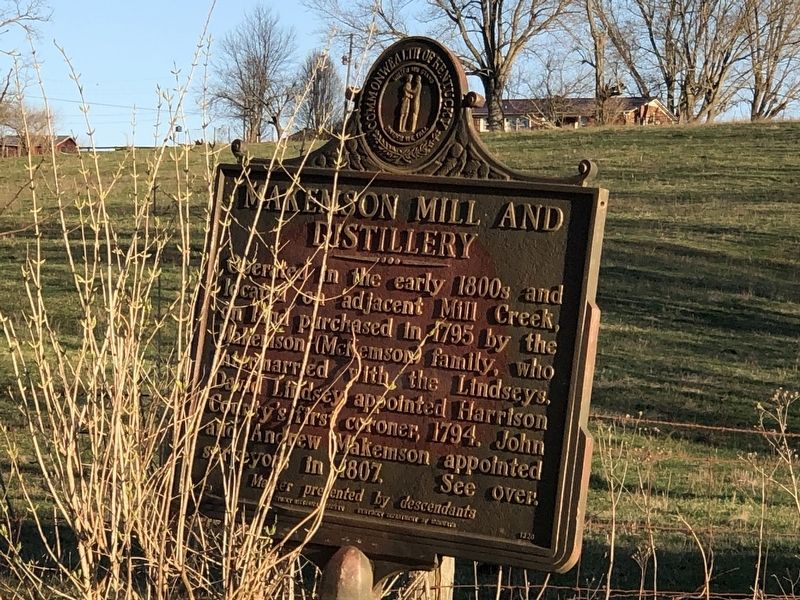
Photographed By Duane and Tracy Marsteller, March 4, 2023
2. Makemson Mill and Distillery side of marker
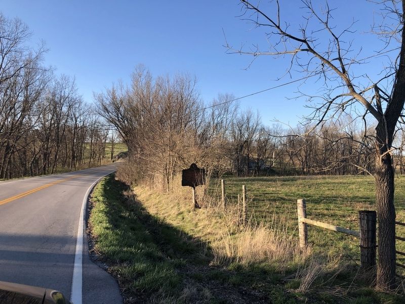
Photographed By Duane and Tracy Marsteller, March 4, 2023
3. Lindsey Cemetery / Makemson Mill and Distillery Marker
Credits. This page was last revised on March 12, 2023. It was originally submitted on March 12, 2023, by Duane and Tracy Marsteller of Murfreesboro, Tennessee. This page has been viewed 113 times since then and 40 times this year. Photos: 1, 2, 3. submitted on March 12, 2023, by Duane and Tracy Marsteller of Murfreesboro, Tennessee.

