Rossville in Walker County, Georgia — The American South (South Atlantic)
27th U.S. Missouri Infantry
Photographed by Dale K. Benington, June 7, 2011
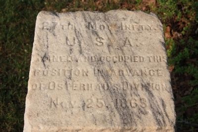
1. 27th MO Inft y. Marker
U.S.A.
Gained and occupied this
position in advance
of Osterhaus Division.
Nov. 25, 1863
Erected 1895 by the State of Missouri. (Marker Number MT-216.)
Topics and series. This historical marker is listed in this topic list: War, US Civil. In addition, it is included in the Chickamauga and Chattanooga National Military Park, Iowa Reservation, and the Chickamauga and Chattanooga National Military Park: November 25, 1863 series lists. A significant historical date for this entry is November 25, 1863.
Location. 34° 59.036′ N, 85° 16.766′ W. Marker is in Rossville, Georgia, in Walker County. It is on West Crest Road north of Chickamauga Avenue (U.S. 27), on the right when traveling north. This marker is located just north of the Iowa State Memorial Monument, and is considered to be part of the monuments, markers, and tablets that are on the Iowa Reservation. Touch for map. Marker is in this post office area: Rossville GA 30741, United States of America. Touch for directions.

Regionally, this marker is in Georgia’s Mountains. It is also in the American South, specifically in the Deep South, in Appalachia,
this page online
Other nearby markers. At least 8 other markers are within walking distance of this marker: Woods' Brigade (a few steps from this marker); Rossville Gap (a few steps from this marker); Iowa State Monument (within shouting distance of this marker); Osterhaus' Division (within shouting distance of this marker); Cruft's Division (about 600 feet away, measured in a direct line); 24th Ohio Infantry (approx. ¼ mile away in Tennessee); a different marker also named Cruft's Division (approx. ¼ mile away in Tennessee); 51st Ohio Infantry (approx. ¼ mile away in Tennessee). Touch for a list and map of all markers in Rossville.
Other markers no longer nearby. To Missionary Ridge (was here, next to this marker but has been confirmed missing); Williamson's Brigade (was
Photographed by Dale K. Benington, June 7, 2011
2. 27th MO Inft y. Marker
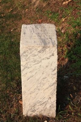
Full view of the historical marker.
More about this marker. This historical marker looks like a cement post and at first glance I thought that it originally was used to mount a historical marker, tablet, or plaque. However, upon closer inspection I discovered that the "post" had text written across the top of it. I am guessing that this was a much earlier version of national park markers that was discontinued because these markers did not appear to age very well.
Regarding 27th U.S. Missouri Infantry. Correct typo - Infty rather than Inft y.
Photographed by Dale K. Benington, June 7, 2011
3. 27th MO Inft y. Marker
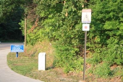
View of the historical marker situated along West Crest Road, between the "Chickamauga Campaign Heritage Trail" sign and the "Woods' Brigade" historical marker.
Photographed by Dale K. Benington, July 28, 2017
4. 27th U.S. Missouri Infantry Marker
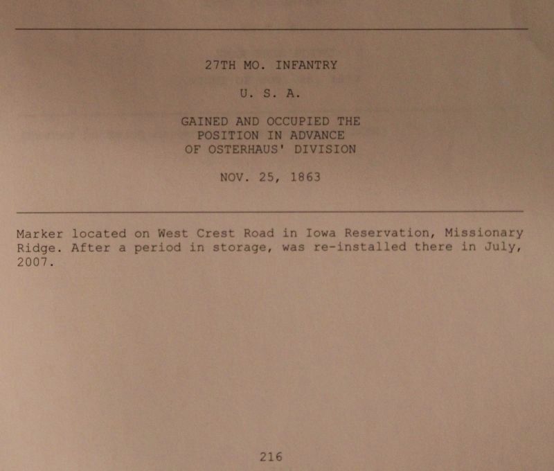
View of the official park documentation for MT-216, taken from the National Park Service's "List of Classified Structures," kept on record in the offices at the National Military Park's Visitor Center.
Credits. This page was last revised on March 13, 2023. It was originally submitted on June 9, 2011, by Dale K. Benington of Toledo, Ohio. This page has been viewed 952 times since then and 35 times this year. Last updated on March 13, 2023, by Diane Klinefelter of McMurray, Pennsylvania. Photos: 1, 2, 3. submitted on June 9, 2011, by Dale K. Benington of Toledo, Ohio. 4. submitted on August 29, 2018, by Dale K. Benington of Toledo, Ohio. • Bernard Fisher was the editor who published this page.
