Lexington in Fayette County, Kentucky — The American South (East South Central)
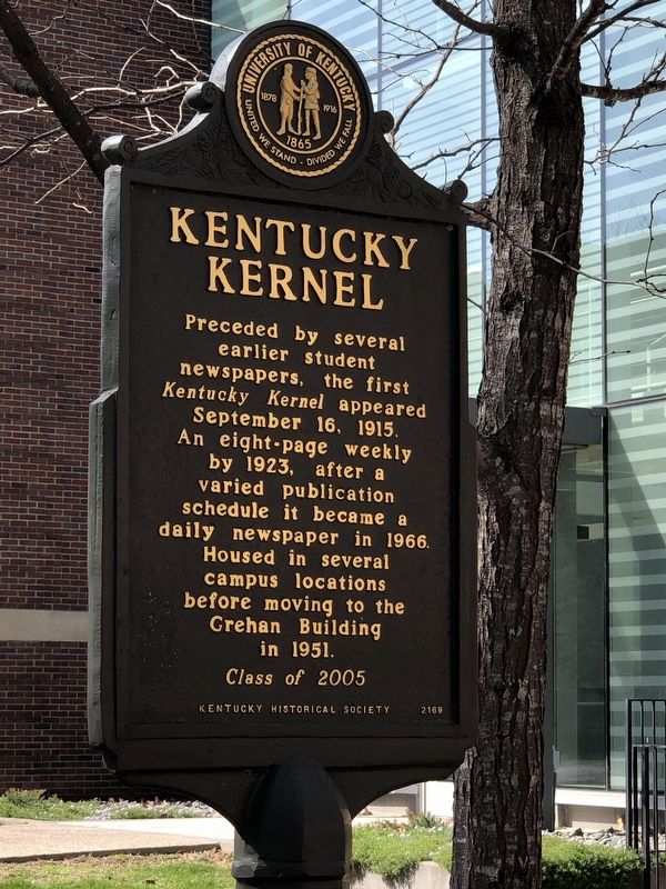
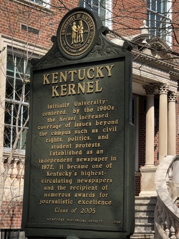
Kentucky Kernel
Initially University-centered, by the 1960s the Kernel increased coverage of issues beyond the campus such as civil rights, politics, and student protests. Established as an independent newspaper in 1972, it became one of Kentucky’s highest-circulating newspapers and the recipient of numerous awards for journalistic excellence.
Erected 2005 by Kentucky Historical Society • University of Kentucky. (Marker Number 2169.)
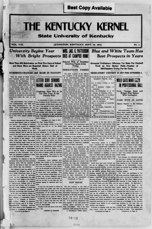
Topics and series. This historical marker is listed in these topic lists: Communications • Education. In addition, it is included in the Kentucky Historical Society series list. A significant historical date for this entry is September 16, 1915.
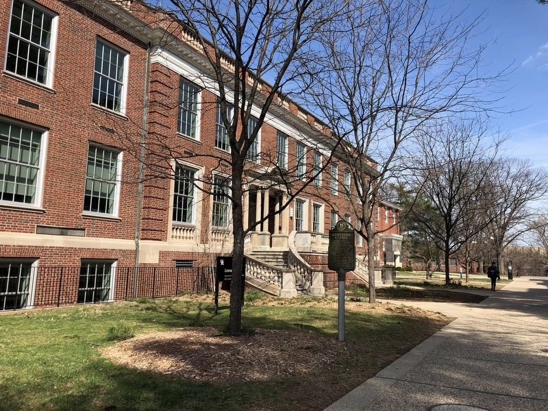
Location. 38° 2.2′ N, 84° 30.27′ W. Marker is in Lexington, Kentucky, in Fayette County. Marker is in front of the Enoch Grehan Building. Touch for map. Marker is at or near this postal address: 167 Funkhouser Dr, Lexington KY 40526, United States of America. Touch for directions.
Other nearby markers. At least 8 other markers are within walking distance of this marker . WBKY/WUKY (within shouting distance of this marker); Margaret Isadora King / Margaret I. King Library (about 400 feet away, measured in a direct line); What's in a Name? (about 400 feet away); Maxwell Place (about 500 feet away); Gillis Building 1889 (approx. 0.2 miles away); Thomas D. Clark (approx. 0.2 miles away); Stoll Field / McLean Stadium (approx. 0.2 miles away); Main Building (approx. 0.2 miles away). Touch for a list and map of all markers in Lexington.
Credits. This page was last revised on March 15, 2023. It was originally submitted on March 15, 2023, by Duane and Tracy Marsteller of Murfreesboro, Tennessee. This page has been viewed 71 times since then and 18 times this year. Photos: 1, 2, 3, 4. submitted on March 15, 2023, by Duane and Tracy Marsteller of Murfreesboro, Tennessee.


