Near Wilmore in Jessamine County, Kentucky — The American South (East South Central)
Kentucky River Palisades
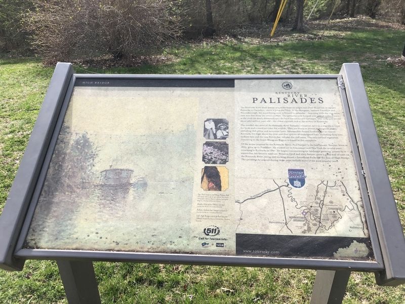
The wooded corridors of the Kentucky River Palisades ecosystem serve as a migration route for birds and a travel corridor for wildlife. They are home to several endangered plants, including cleft phlox and mountain lover. Salamanders found nowhere else in central Kentucky live high above the river and four species of endangered bats, including Gray bats, Indiana bats and the rare Keen's bat, inhabit the cliff caves. The only natural vegetation remaining in the Inner Bluegrass Region is found in this ecosystem.
Of the artists inspired by the Kentucky River, Paul Sawyier is the best known. Sawyier, born in 1865, grew up in Frankfort. He studied art in Cincinnati and New York for several years, returning to Kentucky in 1891. He began concentrating on landscape painting, primarily in watercolor, his favorite medium. Between 1908 and 1913 Sawyier spent a good deal of time on the Kentucky River, living and working aboard a houseboat docked at the foot of High Bridge. The paintings he created during those years include some of his most popular work.
[Captions]
Top: Paul Sawyier and Mary Thomas Bull ©University of Kentucky; all rights reserved, Paul Sawyier Photographic Collection, Special Collections and Digital Programs, University of Kentucky Libraries
Middle: Cleft phlox (Phlox bifida) Courtesy Tom Barnes, University of Kentucky
Bottom: Indiana bat (Myotis sodalis) Courtesy Tom Barnes, University of Kentucky
Left: High Bridge 1910 by Paul Sawyier (detail) ©Paul Sawyier Galleries, Inc., Frankfort, Kentucky
Topics. This historical marker is listed in these topic lists: Arts, Letters, Music • Environment • Waterways & Vessels. A significant historical year for this entry is 1865.
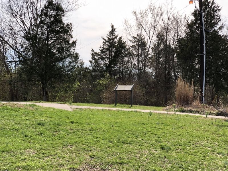
Location. 37° 49.069′ N, 84° 42.987′ W. Marker is near Wilmore, Kentucky, in Jessamine County. Marker is on Old Park Road, 0.1 miles east of Lock 7 Road, on the right when traveling east. Marker is in High Bridge Park. Touch for map. Marker is in this post office area: Wilmore KY 40390, United States of America. Touch for directions.
Other nearby markers. At least 8 other markers are within 2 miles of this marker, measured as the crow flies. An Engineering Landmark (within shouting distance of this marker); High Bridge (approx. 0.2 miles away); Shaker Landing / Shaker Landing Road (approx. one mile away); John Curd (approx. 1.3 miles away); Old Mail Stage Route (approx. 1.3 miles away); "Morgan's Men" Here (approx. 1.3 miles away); Shakertown at Pleasant Hill (approx. 1.3 miles away); John McMurtry’s Station (approx. 1.6 miles away). Touch for a list and map of all markers in Wilmore.
Also see . . . Paul Sawyier. Sawyier worked mostly in watercolor and is best known for his scenes in the Frankfort, Kentucky area and New York. (Completely Kentucky Wiki) (Submitted on March 15, 2023, by Duane and Tracy Marsteller of Murfreesboro, Tennessee.)
Credits. This page was last revised on March 15, 2023. It was originally submitted on March 15, 2023, by Duane and Tracy Marsteller of Murfreesboro, Tennessee. This page has been viewed 140 times since then and 34 times this year. Photos: 1, 2. submitted on March 15, 2023, by Duane and Tracy Marsteller of Murfreesboro, Tennessee.

