Shakertown near Harrodsburg in Mercer County, Kentucky — The American South (East South Central)
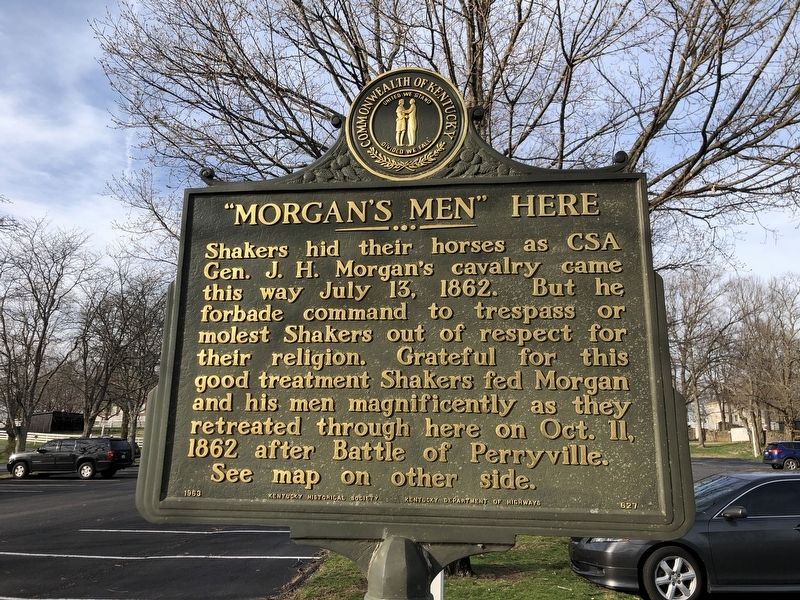
"Morgan's Men" Here
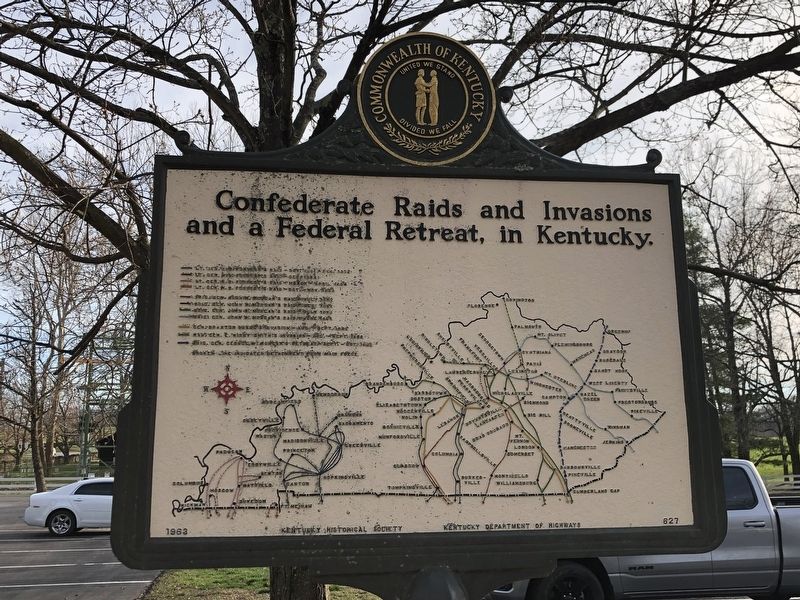
Confederate Raids and Invasions and a Federal Retreat, in Kentucky.
Erected 1963 by Kentucky Historical Society • Kentucky Department of Highways. (Marker Number 627.)
Topics and series. This historical marker is listed in this topic list: War, US Civil. In addition, it is included in the Communal and Utopian Societies, and the Kentucky Historical Society series lists. A significant historical date for this entry is July 13, 1862.
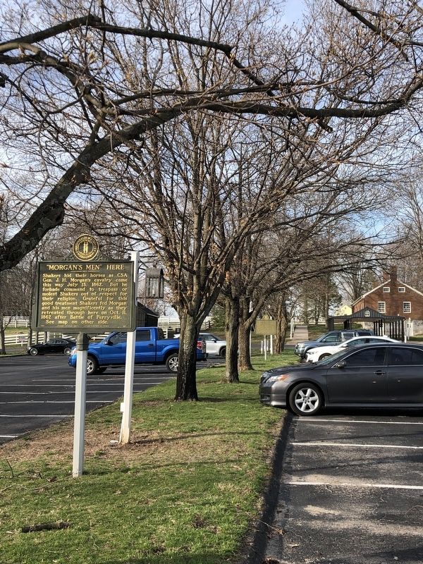
Location. 37° 49.069′ N, 84° 44.435′ W. Marker is near Harrodsburg, Kentucky, in Mercer County. It is in Shakertown. Marker is on West Lot Road west of Shakertown Road, on the right when traveling west. Marker is in a grassy island in the main parking lot of Shaker Village of Pleasant Hill. Touch for map. Marker is at or near this postal address: 3501 Lexington Rd, Harrodsburg KY 40330, United States of America. Touch for directions.
Other nearby markers. At least 8 other markers are within 3 miles of this marker, measured as the crow flies. Old Mail Stage Route (a few steps from this marker); Shakertown at Pleasant Hill (a few steps from this marker); Shaker Landing / Shaker Landing Road (approx. 0.3 miles away); High Bridge (approx. 1.2 miles away); Kentucky River Palisades (approx. 1.3 miles away); An Engineering Landmark (approx. 1.3 miles away); John McMurtry’s Station (approx. 1.4 miles away); Fairview (approx. 2.3 miles away). Touch for a list and map of all markers in Harrodsburg.
Credits. This page was last revised on March 16, 2023. It was originally submitted on March 16, 2023, by Duane and Tracy Marsteller of Murfreesboro, Tennessee. This page has been viewed 82 times since then and 19 times this year. Photos: 1, 2, 3. submitted on March 16, 2023, by Duane and Tracy Marsteller of Murfreesboro, Tennessee.


