Walnutport in Northampton County, Pennsylvania — The American Northeast (Mid-Atlantic)
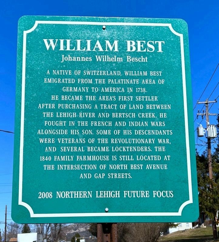
William Best
Johannes Wilhelm Bescht
2008 Northern Lehigh Future Focus
Erected 2008 by Northern Lehigh Future Focus.
Topics. This historical marker is listed in these topic lists: Immigration • Settlements & Settlers • War, French and Indian • War, US Revolutionary. A significant historical year for this entry is 1738.
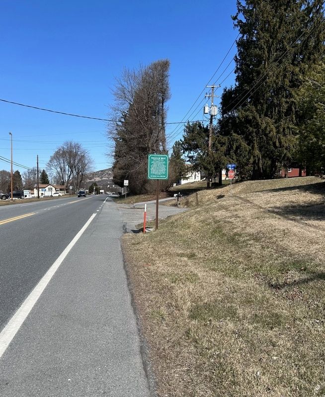
Location. 40° 45.57′ N, 75° 35.654′ W. Marker is in Walnutport, Pennsylvania, in Northampton County. Marker is at the intersection of Best Avenue (Pennsylvania Route 145) and Lehigh Gap Street, on the right when traveling north on Best Avenue. Touch for map. Marker is in this post office area: Walnutport PA 18088, United States of America. Touch for directions.
Other nearby markers. At least 8 other markers are within walking distance of this marker. William Kuntz (approx. 0.2 miles away); Diamond Fire Company (approx. 0.4 miles away); Pennsylvania House Slate Exchange Hotel (approx. half a mile away); Walnutport (approx. half a mile away); Anchor Hotel (approx. half a mile away); Lehigh Canal (approx. 0.6 miles away); Floating From Mine to Market (approx. 0.6 miles away); Lehigh River (approx. 0.6 miles away). Touch for a list and map of all markers in Walnutport.
Credits. This page was last revised on March 17, 2023. It was originally submitted on March 16, 2023, by Laura Klotz of Northampton, Pennsylvania. This page has been viewed 76 times since then and 13 times this year. Photos: 1, 2. submitted on March 16, 2023, by Laura Klotz of Northampton, Pennsylvania. • Andrew Ruppenstein was the editor who published this page.

