Mifflin in Chester County, Tennessee — The American South (East South Central)
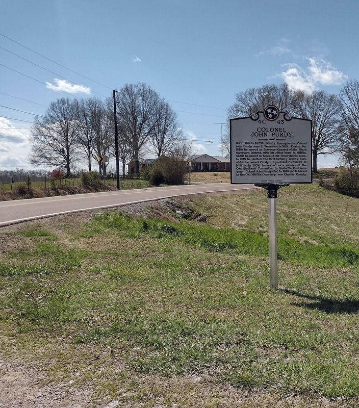
Colonel John Purdy

Photographed by David Austin
1. Colonel John Purdy Marker
Erected 2023 by Tennessee Historical Commission. (Marker Number 4C 43.)
Topics. This historical marker is listed in these topic lists: Cemeteries & Burial Sites • Settlements & Settlers. A significant historical year for this entry is 1798.
Location. 35° 33.226′ N, 88° 34.507′ W. Marker is in Mifflin, Tennessee, in Chester County. It is on Tennessee Route 200, on the right when traveling south. Touch for map. Marker is at or near this postal address: 9380 TN-200, Luray TN 38352, United States of America. Touch for directions.

Regionally, this marker is in West Tennessee.
this page online
Other nearby markers. At least 8 other markers are within 7 miles of this marker, measured as the crow flies: Mills Darden (approx. 6 miles away); Jacks Creek (approx. 6.4 miles away); Mound 28 (approx. 6.6 miles away); a different marker also named Mound 28 (approx. 6.6 miles away); Geometric Enclosure (approx. 6.7 miles away); The Circular Enclosure (approx. 6.7 miles away); Mounds 29 & 30 (approx. 6.7 miles away); Mound 29 (approx. 6.7 miles away).
Photographed by David Austin
2. Colonel John Purdy Marker
Credits. This page was last revised on March 18, 2023. It was originally submitted on March 18, 2023, by David Austin of Scotts Hill, Tennessee. This page has been viewed 400 times since then and 72 times this year. Photos: 1, 2. submitted on March 18, 2023, by David Austin of Scotts Hill, Tennessee. • James Hulse was the editor who published this page.
