Fort Davis in Jeff Davis County, Texas — The American South (West South Central)
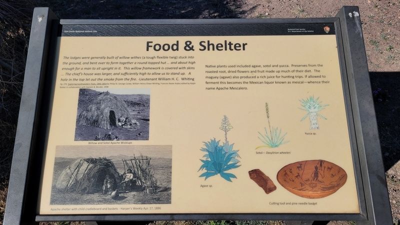
Food & Shelter
Fort Davis National Historic Site
Pg. 276 Exploring Southwestern Trails, 1846-1854 by Philip St. George Cooke, William Henry Chase Whiting, Francois Xavier Aubry edited by Ralphi Bieber in collaboration with Averam B. Bender, 1938
Native plants used included agave, sotol and yucca. Preserves from the roasted root, dried flowers and fruit made up much of their diet. The maguey (agave) also produced a rich juice for hunting trips. If allowed to ferment this becomes the Mexican liquor known as mescal - whence their name Apache Mescalero.
Captions
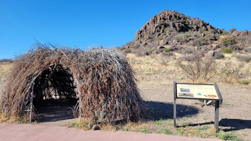
Middle Left: Willow and Sotol Apache Wickiups
Lower Left: Apache shelter with child cradleboard and baskets - Harper's Weekly Apr. 17, 1886
Lower Right: Agave sp.
Sotol- Dasylirion wheeleri
Yucca sp.
Cutting tool and pine needle basket
Erected by National Park Service - U.S. Department of the Interior.
Topics. This historical marker is listed in this topic list: Native Americans. A significant historical date for this entry is April 17, 1886.
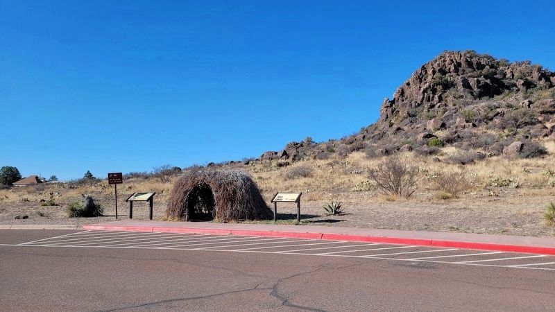
Location. 30° 35.793′ N, 103° 53.506′ W. Marker is in Fort Davis, Texas, in Jeff Davis County. Marker is at the intersection of Lt. Henry Flipper Drive and State Street (State Highway 17) on Lt. Henry Flipper Drive. The marker is located in the parking lot near thr entrance to the historic Fort Davis. Touch for map. Marker is at or near this postal address: 101 Lt Henry Flipper Drive, Fort Davis TX 79734, United States of America. Touch for directions.
Other nearby markers. At least 8 other markers are within walking distance of this marker. First Contact (here, next to this marker); Fort Davis (within shouting distance of this marker); Legend - Fort Davis (about 500 feet away, measured in a direct line); The First Fort Davis (about 700 feet away); Sick Call (about 700 feet away); a different marker also named Fort Davis (approx. 0.2 miles away); a different marker also named Fort Davis (approx. 0.2 miles away); Commanding Officer's Quarters (approx. 0.2 miles away). Touch for a list and map of all markers in Fort Davis.
More about this marker. The fort and the markers are located on the grounds of the Fort Davis National Historic Site which requires a small entrance fee to access.
Also see . . . Fort Davis: Frontier Post. National Park Service
A key post in the defense system of western Texas, Fort Davis played a major role in the history of the Southwest. From 1854 until 1891, troops stationed at the post protected emigrants, freighters, mail coaches, and travelers on the San Antonio-El Paso Road hoping to reach the gold fields of California. Today, Fort Davis is considered one of the best remaining examples of a frontier military post in the American Southwest. It is a vivid reminder of the significant role played by the military in the settlement and development of the western frontier. Named for Secretary of War Jefferson Davis, the fort was first garrisoned by Lieutenant Colonel Washington Seawell and six companies of the Eighth U.S. Infantry. The post was located in a box canyon near Limpia Creek on the eastern side of the Davis Mountains--where wood, water, and grass were plentiful. From 1854 to 1861, troops of the Eighth Infantry spent much of their time in the field pursuing Comanches, Kiowas, and Apaches.(Submitted on March 18, 2023, by James Hulse of Medina, Texas.)
Credits. This page was last revised on March 21, 2023. It was originally submitted on March 18, 2023, by James Hulse of Medina, Texas. This page has been viewed 84 times since then and 14 times this year. Photos: 1, 2, 3. submitted on March 19, 2023, by James Hulse of Medina, Texas.


