Near Currie in Pender County, North Carolina — The American South (South Atlantic)
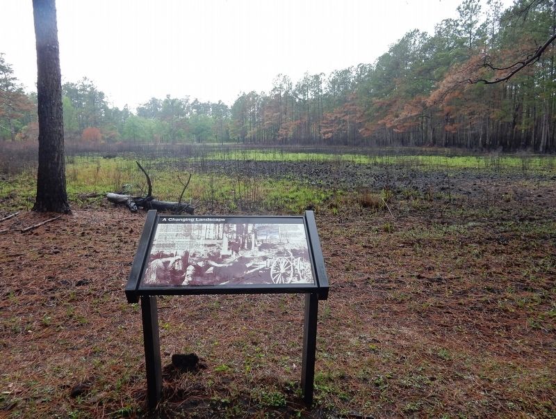
A Changing Landscape
— Moores Creek National Battlefield —
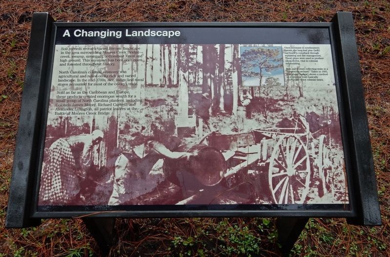
North Carolina's colonial economy was agricultural and relied on its rich and varied landscape. In the mid-1700s, rice, indigo and naval stores accounted for most of the colony's trade.
Sold as far as the Caribbean and Europe, these products created enormous wealth for a small group of North Carolina planters, including Colonels James Moore, Richard Caswell, and Alexander Lillington, all patriot leaders at the Battle of Moores Creek Bridge.
[Captions]
• Once dominant in southeastern forests, the long-leaf pine (left) has made a comeback through replanting and fire management. These pines were used to produce naval stores, vital to colonial shipbuilding.
• Men and women collecting resin in a "turpentine orchard." Taken in 1895, this photo (below) shows a method of collecting resin basically unchanged since colonial times.
Erected by National Park Service.
Topics. This historical marker is listed in these topic lists: Colonial Era • Environment • Industry & Commerce • War, US Revolutionary.
Location. 34° 27.507′ N, 78° 6.5′ W. Marker is near Currie, North Carolina, in Pender County. Marker can be reached from Moores Creek Drive, 0.2 miles west of North Carolina Route 210. Marker is on the Moores Creek National Battlefield History Trail. Touch for map. Marker is in this post office area: Currie NC 28435, United States of America. Touch for directions.
Other nearby markers. At least 8 other markers are within walking distance of this marker. Ghosts of an Industry (within shouting distance of this marker); Battle of Moore’s Creek Bridge (about 300 feet away, measured in a direct line); Tar Kiln (about 300 feet away); Brave Patriots (about 400 feet away); Moores Creek National Battlefield (about 500 feet away); Road to Independence (about 500 feet away); Vanishing Longleafs (about 500 feet away); Boxing the Pines (about 600 feet away). Touch for a list and map of all markers in Currie.
Credits. This page was last revised on March 19, 2023. It was originally submitted on March 19, 2023, by Duane and Tracy Marsteller of Murfreesboro, Tennessee. This page has been viewed 84 times since then and 9 times this year. Photos: 1, 2. submitted on March 19, 2023, by Duane and Tracy Marsteller of Murfreesboro, Tennessee.

