Near Currie in Pender County, North Carolina — The American South (South Atlantic)
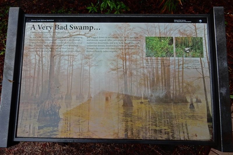
A Very Bad Swamp ...
from a letter written by Gen. William Howe, April 25, 1776
— Moores Creek National Battlefield —
[Captions]
• Thickets of briars and grapevines around tidal creeks made cross-country passages nearly impossible except at crossings like Moores Creek Bridge.
• Alligators were common here in colonial times and are still found in many southeastern coastal areas. If you see one, please stay at a respectable distance at all times.
Erected by National Park Service.
Topics. This historical marker is listed in these topic lists: Environment • War, US Revolutionary • Waterways & Vessels. A significant historical month for this entry is February 1776.
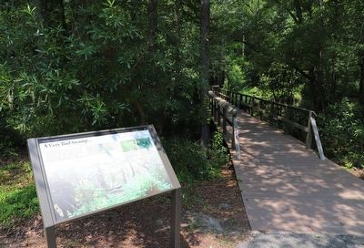
Location. 34° 27.531′ N, 78° 6.718′ W. Marker is near Currie, North Carolina, in Pender County. Marker can be reached from Moores Creek Drive, 0.2 miles west of North Carolina Route 210. Marker is on the Moores Creek National Battlefield History Trail. Marker coordinates are approximate. Touch for map. Marker is in this post office area: Currie NC 28435, United States of America. Touch for directions.
Other nearby markers. At least 8 other markers are within walking distance of this marker. Wisely Chosen Ground (a few steps from this marker); Road to the Sea (within shouting distance of this marker); Decisive Victory (within shouting distance of this marker); Old Wilmington and Fayetteville Stage Road (within shouting distance of this marker); Stunning Defeat (about 300 feet away, measured in a direct line); Aftermath of Moores Creek (about 400 feet away); Commemorating the Battle (about 400 feet away); John Grady Memorial (about 400 feet away). Touch for a list and map of all markers in Currie.
Credits. This page was last revised on June 24, 2023. It was originally submitted on March 19, 2023, by Duane and Tracy Marsteller of Murfreesboro, Tennessee. This page has been viewed 97 times since then and 19 times this year. Photos: 1. submitted on March 19, 2023, by Duane and Tracy Marsteller of Murfreesboro, Tennessee. 2, 3. submitted on June 23, 2023, by Dave W of Co, Colorado.


