Hillsburgh in Erin in Wellington County, Ontario — Central Canada (North America)
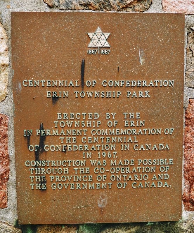
Erin Township Park
1867 • Centennial of Confederation • 1967
Township of Erin
in permanent commemoration of
the Centennial
of Confederation in Canada
in 1967.
Construction was made possible
through the co-operation of
the Province of Ontario and
the Government of Canada.
Erected 1967.
Topics. This historical marker is listed in these topic lists: Charity & Public Work • Parks & Recreational Areas • Patriots & Patriotism. A significant historical year for this entry is 1967.
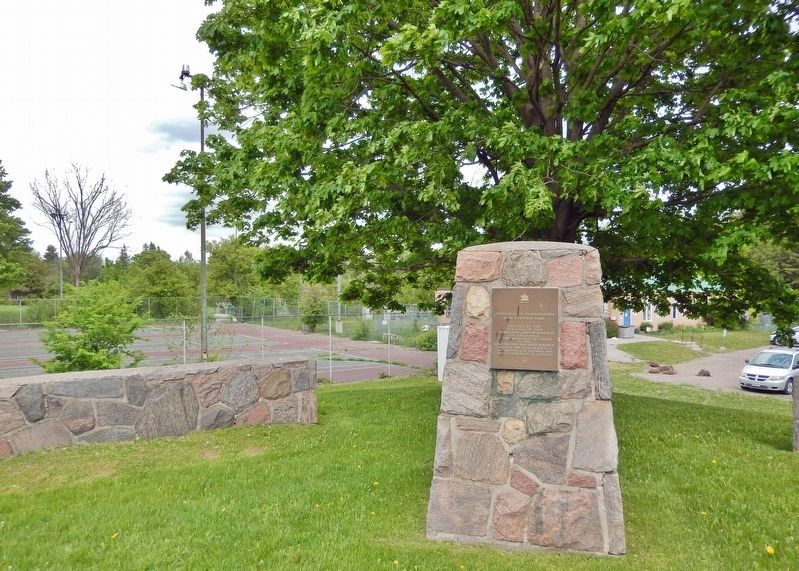
Location. 43° 44.668′ N, 80° 4.566′ W. Marker is in Erin, Ontario, in Wellington County. It is in Hillsburgh. Marker is at the intersection of Trafalgar Road (County Road 24) and Wellington Road 124, on the right when traveling north on Trafalgar Road. Marker is located near the northeast corner of the intersection. Touch for map. Marker is at or near this postal address: 5383 Trafalgar Road, Erin ON N0B 1T0, Canada. Touch for directions.
Other nearby markers. At least 8 other markers are within 27 kilometers of this marker, measured as the crow flies. Mill History in Erin Village (approx. 3 kilometers away); Future Past 2412 (approx. 3 kilometers away); Stanley Park (approx. 3.7 kilometers away); Stanley Park Gates and Arch (approx. 3.7 kilometers away); Acton Town Hall (approx. 12.9 kilometers away); Dufferin County Court House (approx. 19.6 kilometers away); Heffernan Street Footbridge (approx. 25.9 kilometers away); Guelph Salvation Army (approx. 26.1 kilometers away). Touch for a list and map of all markers in Erin.
Also see . . . Canadian Centennial 1867-1967 (Wikipedia). Excerpt:
The Canadian Centennial was a yearlong celebration held in 1967 to celebrate the 100th anniversary of Canadian Confederation. Celebrations in Canada occurred throughout the year but culminated on Dominion Day, July 1, 1967. Commemorative coins were minted, that were different from typical issues with animals on each — the cent, for instance, had a dove on its reverse. Communities and organizations across Canada were encouraged to engage in Centennial projects to celebrate the anniversary. The projects ranged from special one-time events to local improvement projects, such as the construction of municipal arenas and parks. The Centennial Flame was also added to Parliament Hill. Children born in 1967 were declared Centennial babies.(Submitted on March 20, 2023, by Cosmos Mariner of Cape Canaveral, Florida.)
Credits. This page was last revised on March 19, 2024. It was originally submitted on March 20, 2023, by Cosmos Mariner of Cape Canaveral, Florida. This page has been viewed 77 times since then and 5 times this year. Photos: 1, 2. submitted on March 20, 2023, by Cosmos Mariner of Cape Canaveral, Florida.

