Currie in Pender County, North Carolina — The American South (South Atlantic)
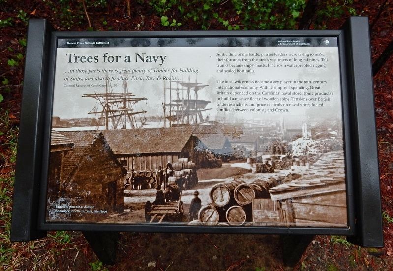
Trees for a Navy
— Moores Creek National Battlefield —
… in those parts there is great plenty of Timber for building of Ships, and also to produce Pitch, Tarr & Rozin … – Colonial Records of North Carolina, 1704
At the time of the battle, patriot leaders were trying to make their fortunes from the area's vast tracts of longleaf pines. Tall trunks became ships' masts. Pine rosin waterproofed rigging and sealed boat hulls.
The local wilderness became a key player in the 18th-century international economy. With its empire expanding, Great Britain depended on the Carolinas' naval stores (pine products) to build a massive fleet of wooden ships. Tensions over British trade restrictions and price controls on naval stores fueled conflicts between colonists and Crown.
[Caption] Barrels of pine tar at dock in Brunswick, North Carolina, late 1800s
Erected by National Park Service.
Topics. This historical marker is listed in these topic lists: Colonial Era • Horticulture & Forestry • Industry & Commerce • Waterways & Vessels. A significant historical year for this entry is 1701.
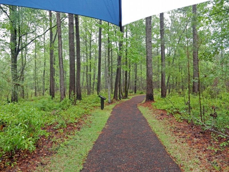
Location. 34° 27.417′ N, 78° 6.567′ W. Marker is in Currie, North Carolina, in Pender County. Marker can be reached from Moores Creek Drive, 0.2 miles west of North Carolina Route 210. Marker is on the Tarheel Trail in Moores Creek National Battlefield. Touch for map. Marker is in this post office area: Currie NC 28435, United States of America. Touch for directions.
Other nearby markers. At least 8 other markers are within walking distance of this marker. Blackwater Highways (within shouting distance of this marker); Tarheel Trail (within shouting distance of this marker); Women's Monument (within shouting distance of this marker); We Women Have...To Let Our Voices Be Heard (within shouting distance of this marker); Boxing the Pines (within shouting distance of this marker); Moores Creek National Battlefield (about 400 feet away, measured in a direct line); Brave Patriots (about 400 feet away); Vanishing Longleafs (about 400 feet away). Touch for a list and map of all markers in Currie.
Credits. This page was last revised on April 13, 2023. It was originally submitted on March 21, 2023, by Duane and Tracy Marsteller of Murfreesboro, Tennessee. This page has been viewed 63 times since then and 5 times this year. Photos: 1, 2. submitted on March 21, 2023, by Duane and Tracy Marsteller of Murfreesboro, Tennessee.

