Wawa in Algoma District, Ontario — Central Canada (North America)
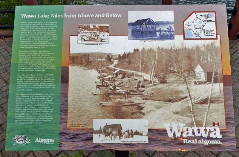
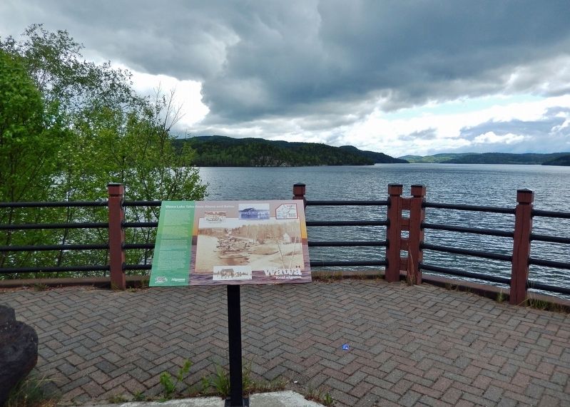
Wawa Lake Tales from Above and Below
Photographed by Cosmos Mariner, June 7, 2022
1. Wawa Lake Tales from Above and Below Marker
Wawa's Forest Fire Rangers — A massive forest fire in 1920 destroyed many of the buildings in Wawa City which were located further from the Lakeshore. In 1930 the Department of Lands and Forests established a Deputy Chief Ranger office on Wawa Lake. Located snugly against the western shore where the Lady Dunn Health Centre is now, the headquarters became a Chief Ranger station in 1940. Small spotter planes and courageous Forest Fire Rangers were responsible for coordinating all fire-fighting efforts in the region including another huge fire which threatened Wawa in 1946.
The Underwater Wagon — When Mormon teamsters operated a steamboat and barge for freighting across Wawa Lake, some loads apparently never made it all the way. One story retells the unfortunate tale of a land-loving horse whose restless nature resulted in his watery demise with a full wagon load. If you know the secret spot, recreational divers see the eerie sight of a nearly complete wagon resting undisturbed in the chilly clear depths of Wawa Lake.
The Underwater House — Rumour has it that the bottom of Wawa Lake is home to a house or two. Families at nearby
this page online
The first sign of spring in Wawa is... a car on the ice? — During the 1970's, Wawa-ites knew that spring was in the air when the Wawa Rotary Club dragged a stripped down vehicle out along the frozen shoreline of Wawa Lake as part of a unique fund-raiser. A specially modified clock was attached to the car in order to record the exact date and time that the vehicle sunk to the bottom of Wawa Lake. For a fee, anyone could enter their name and best guess on when the big plunge would happen. Scuba divers and a local towing company carefully retrieved the much celebrated classic car from the water, until the Jalopy Drive season approached again next year.
Topics. This historical marker is listed in these topic lists: Charity & Public Work • Disasters • Horticulture & Forestry • Waterways & Vessels. A significant historical year for this entry is 1920.
Location. 47° 59.952′ N, 84° 46.238′ W.
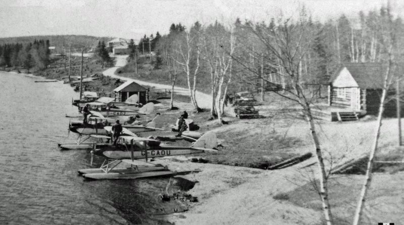
2. Marker detail: Lands and Forests Base, Wawa Lake, 1940’s

Regionally, this marker is in the Sault Ste. Marie and Algoma Area and in Northern Ontario. It is also in Central Canada. Globally, it is in North America, in the Great North Woods, on the Great Lakes, on Lake Superior’s North Shore, in the Western Hemisphere, in the Western World, and in the Anglosphere. Historically, it finds itself in what was once a British colony, the Viceroyalty of New France, the Haudenosaunee (Iroquois) Confederacy, and Rupert’s Land.
Other nearby markers. At least 8 other markers are within walking distance of this marker: Wawa's Golden Hills & Mountains of Iron (here, next to this marker); Monument to Mining (a few steps from this marker); Place of Clear Wawa Water (within shouting distance of this marker); Artillo Berdusco (about 150 meters away, measured

3. Marker detail: Jalopy on Wawa Lake, 1970’s
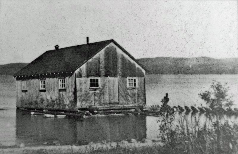
4. Marker detail: Moving houses across Wawa Lake, 1940
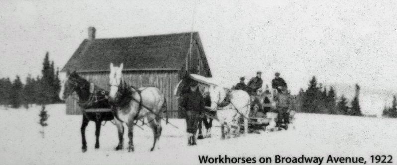
5. Marker detail: Workhorses on Broadway Avenue, 1922
Photographed by Cosmos Mariner, June 7, 2022
6. Wawa Lake Tales from Above and Below Marker
Credits. This page was last revised on March 22, 2023. It was originally submitted on March 21, 2023, by Cosmos Mariner of Cape Canaveral, Florida. This page has been viewed 388 times since then and 109 times this year. Photos: 1, 2, 3, 4, 5, 6. submitted on March 22, 2023, by Cosmos Mariner of Cape Canaveral, Florida.
