Near Currie in Pender County, North Carolina — The American South (South Atlantic)
Boxing the Pines
— Moores Creek National Battlefield —
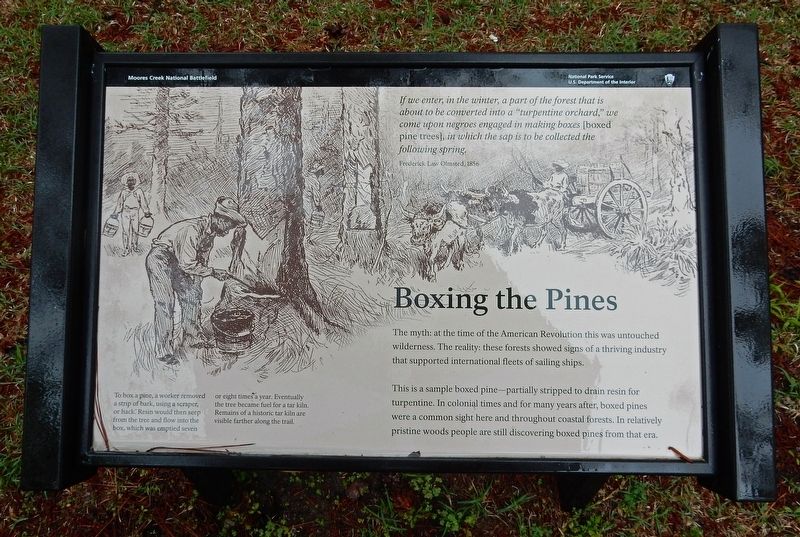
If we enter, in the winter, a part of the forest that is about to be converted into a "turpentine orchard," we come upon negroes engaged in making boxes [boxed pine trees], in which the sap is to be collected the following spring. – Frederick Law Olmsted, 1816
The myth: at the time of the American Revolution this was untouched wilderness. The reality: these forests showed signs of a thriving industry that supported international fleets of sailing ships.
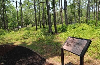
This is a sample boxed pine – partially stripped to drain resin for turpentine. In colonial times and for many years after, boxed pines were a common sight here and throughout coastal forests. In relatively pristine woods people are still discovering boxed pines from that era.
[Caption] To box a pine, a worker removed a strip of bark, using a scraper, or hack. Resin would then seep from the tree and flow into the box, which was emptied seven or eight times a year. Eventually the tree became fuel for a tar kiln. Remains of a historic tar kiln are visible farther along the trail.
Erected by National Park Service.
Topics. This historical marker is listed in these topic lists: Colonial Era • Horticulture & Forestry • Industry & Commerce • Waterways & Vessels. A significant historical year for this entry is 1816.
Location. 34° 27.417′ N, 78° 6.517′ W. Marker is near Currie, North Carolina, in Pender County. Marker can be reached from Moores Creek Drive, 0.2 miles west of North Carolina Route 210. Marker is on the Tarheel Trail in Moores Creek National Battlefield. Touch for map. Marker is in this post office area: Currie NC 28435, United States of America. Touch for directions.
Other nearby markers. At least 8 other markers are within walking distance of this marker. Vanishing Longleafs (within shouting distance of this marker); Blackwater Highways (within shouting distance of this marker); Trees for a Navy (within shouting distance of this marker); Tar Kiln (about 300 feet away, measured in a direct line); Ghosts of an Industry (about 300 feet away); Tarheel Trail (about 400 feet away); Women's Monument (about 500 feet away); We Women Have...To Let Our Voices Be Heard (about 500 feet away). Touch for a list and map of all markers in Currie.
Credits. This page was last revised on June 19, 2023. It was originally submitted on March 21, 2023, by Duane and Tracy Marsteller of Murfreesboro, Tennessee. This page has been viewed 189 times since then and 35 times this year. Photos: 1. submitted on March 21, 2023, by Duane and Tracy Marsteller of Murfreesboro, Tennessee. 2. submitted on June 19, 2023, by Dave W of Co, Colorado.

