Near Currie in Pender County, North Carolina — The American South (South Atlantic)
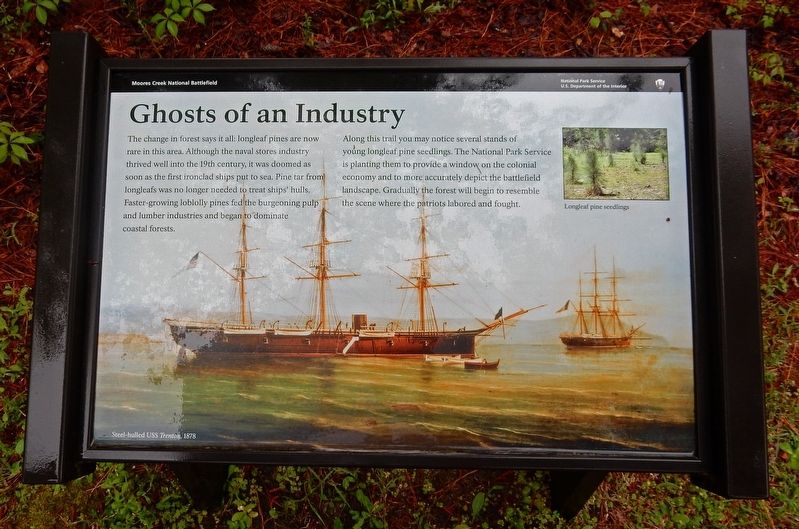
Ghosts of an Industry
| — | Moores Creek National Battlefield | — |
Photographed by Duane and Tracy Marsteller, April 24, 2017
1. Ghosts of an Industry Marker
Along this trail you may notice several stands of young longleaf pine seedlings. The National Park Service is planting them to provide a window on the colonial economy and to more accurately depict the battlefield landscape. Gradually the forest will begin to resemble the scene where the patriots labored and fought.
[Captions]
(Background) Steel-hulled USS Trenton, 1878
(Inset) Longleaf pine seedlings.
Erected by National Park Service.
Topics. This historical marker is listed in these topic lists: Horticulture & Forestry • Industry & Commerce • Waterways & Vessels. A significant historical year for this entry is 1878.
Location. 34° 27.467′ N, 78° 6.5′ W. Marker is near Currie, North Carolina, in Pender County. It can be
this page online

Regionally, this marker is in North Carolina’s Coastal Plain. It is also in the American South, specifically in the Upper South, in the Tidewater, and on the Eastern Seaboard. Globally, it is in the North Atlantic Region, North America, the Western Hemisphere, the Western World, and the Anglosphere. Historically, it finds itself in what was once the territory of the Mississippian Culture, one of the original Thirteen Colonies, one of the Confederate States of America, and the Antebellum South.
Other nearby markers. At least 8 other markers are within walking distance of this marker: Tar Kiln (a few steps from this marker); A Changing Landscape (within shouting distance of this marker); Vanishing Longleafs (about 300 feet away, measured in a direct line); Boxing the Pines (about 300 feet away); Blackwater Highways (about 400 feet away); Brave Patriots (about
Photographed by Dave W, June 17, 2023
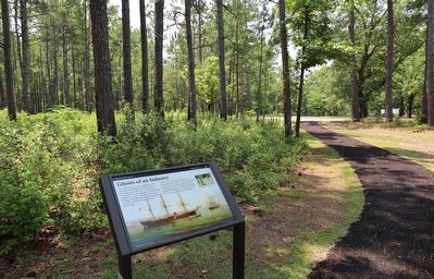
2. Ghosts of an Industry Marker
Credits. This page was last revised on June 19, 2023. It was originally submitted on March 21, 2023, by Duane and Tracy Marsteller of Murfreesboro, Tennessee. This page has been viewed 196 times since then and 25 times this year. Photos: 1. submitted on March 21, 2023, by Duane and Tracy Marsteller of Murfreesboro, Tennessee. 2. submitted on June 19, 2023, by Dave W of Co, Colorado.
