Linden in Cass County, Texas — The American South (West South Central)
Cass County Courthouse
Photographed by Jeff Leichsenring, March 20, 2023
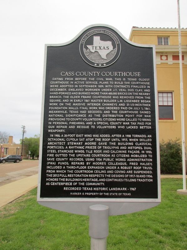
1. Cass County Courthouse Marker
In 1905, a 20-foot east wing was added. After a 1908 tornado, an octagonal cupola sat atop the roof until 1917, when skilled architect Stewart Moore gave the building classical porticoes, a rhythmic frieze of triglyphs and metopes, dual steel staircase wings, tile roof and calcimine facade. In
this page online
Erected 1967 by Texas Historical Commission. (Marker Number 9812.)
Topics. This historical marker is listed in these topic lists: African Americans • Charity & Public Work • Law Enforcement • War, US Civil.
Location. 33° 0.684′ N, 94° 21.885′ W. Marker is in Linden, Texas, in Cass County. It is at the intersection of East Houston Street (Texas Route 11) and South Kaufman Street, on the right when traveling east on East Houston Street. Touch for map. Marker is at or near this postal address: 100 East Houston Street, Linden TX 75563, United States of America.
Photographed by Jeff Leichsenring, March 20, 2023
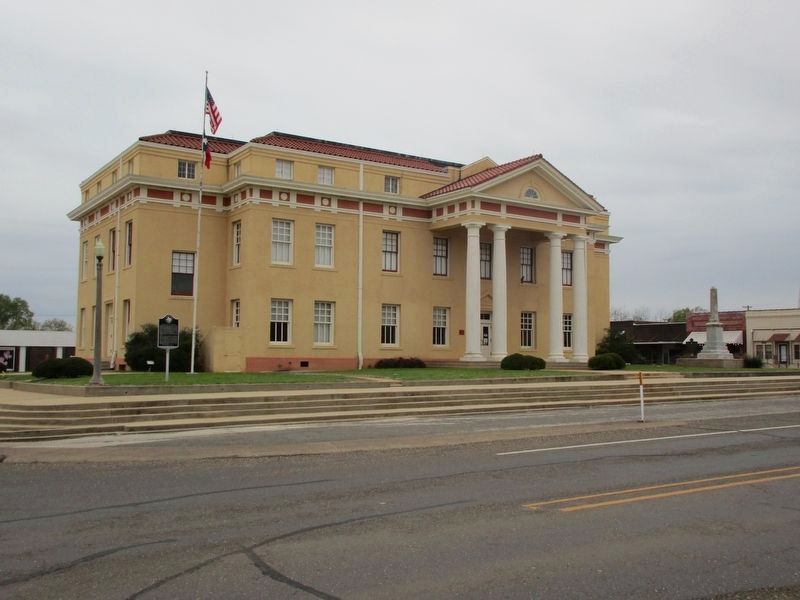
2. Cass County Courthouse and Marker

Regionally, this marker is in the American South, specifically in the Deep South, and in the Piney Woods. Globally, it is in North America, a Gulf of Mexico state, the Western Hemisphere, the Western World, and the Anglosphere. Historically, it finds itself in what was once New Spain, the Republic of Texas, one of the Confederate States of America, and the Antebellum South.
Other nearby markers. At least 8 other markers are within 13 miles of this marker, measured as the crow flies: Civilian Conservation Corps at Linden (approx. 0.9 miles away); Cass County (approx. 6.3 miles away); Dr. M.D.K. Taylor (approx. 9 miles away); Laws Chapel Cemetery (approx. 9.9 miles away); Law's Chapel (approx. 10 miles away); Methodist Episcopal Church of Douglassville (approx. 12.7 miles away); Douglassville Baptist Church (approx. 12.7 miles away); Douglassville Cemetery (approx. 12.8 miles away).
More about this marker. The marker is a replacement marker from the THC with new text but the original THC number.
Photographed by Jeff Leichsenring, March 20, 2023
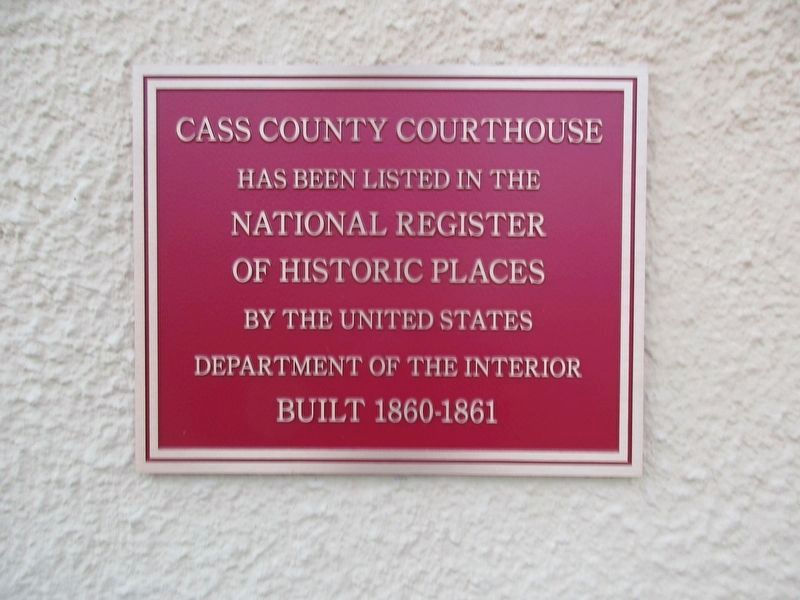
3. Cass County Courthouse National Register of Historic Places Marker
Credits. This page was last revised on May 4, 2024. It was originally submitted on March 21, 2023, by Jeff Leichsenring of Garland, Texas. This page has been viewed 562 times since then and 55 times this year. Photos: 1, 2, 3. submitted on March 21, 2023, by Jeff Leichsenring of Garland, Texas. • James Hulse was the editor who published this page.
