Michipicoten in Wawa in Algoma District, Ontario — Central Canada (North America)
Michipicoten Scenic Lookout
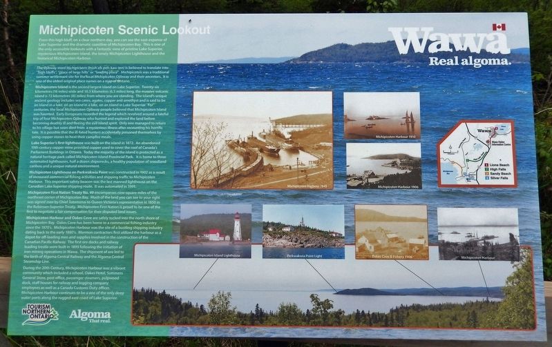
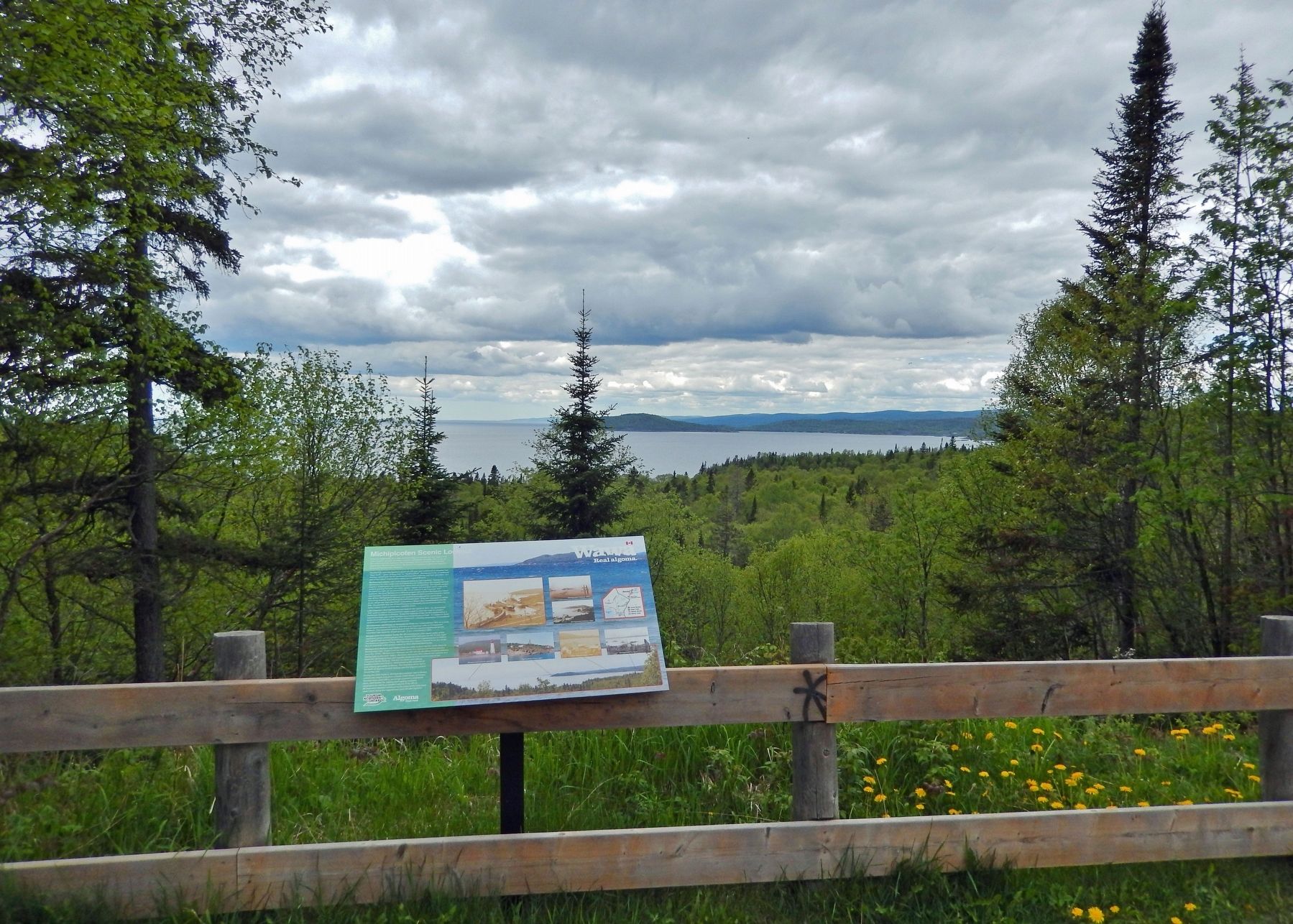
From this high bluff, on a clear northern day, you can see the vast expanse of Lake Superior and the dramatic coastline of Michipicoten Bay. This is one of the only accessible lookouts with a fantastic view of pristine Lake Superior, mysterious Michipicoten Island, the lonely Michipicoten Lighthouse and the historical Michipicoten Harbour.
The Ojibway word Michipicoten (mish-eh-peh-kaw-ten) is believed to translate into "high bluffs", "place of large hills" or "landing place". Michipicoten was a traditional summer settlement site for the local Michipicoten Ojibway and their ancestors. It is one of the oldest original place names on a map of Ontario.
Michipicoten Island is the second largest island on Lake Superior. Twenty-six kilometres (16 miles) wide and 10.5 kilometres (6.5 miles) long, the massive volcanic island is 72 kilometres (45 miles) from where you are standing. The island's unique ancient geology includes sea caves, agates, copper and amethyst and is said to be an island in a lake, on an island in a lake, on an island in Lake Superior. For centuries, the local Michipicoten Ojibway people believed that Michipicoten Island was haunted. Early Europeans recorded the legend which revolved around a fateful trip of four Michipicoten Ojibway who hunted and explored the land before becoming deathly ill and fleeing the evil island spirit. Only one managed to return to his village but soon died from a mysterious illness after recounting his horrific tale. It is possible that the ill-fated hunters accidentally poisoned themselves by using copper stones to heat their campfire meals.
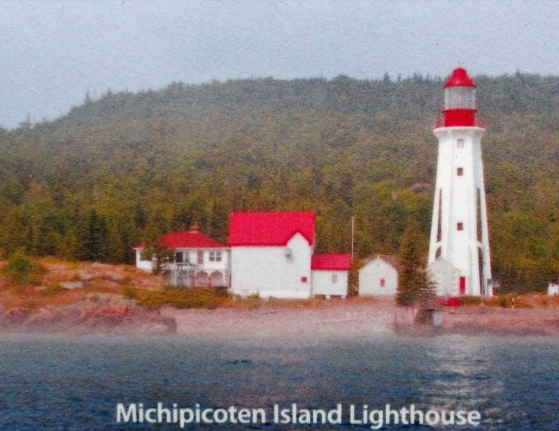
Lake Superior's first lighthouse was built on the island in 1872. An abandoned 19th century copper mine provided copper used to cover the roof of Canada's Parliament Buildings in Ottawa. Today the majority of the island is protected as a natural heritage park called Michipicoten Island Provincial Park. It is home to three automated lighthouses, half a dozen shipwrecks, a healthy population of woodland caribou and a unique natural environment.
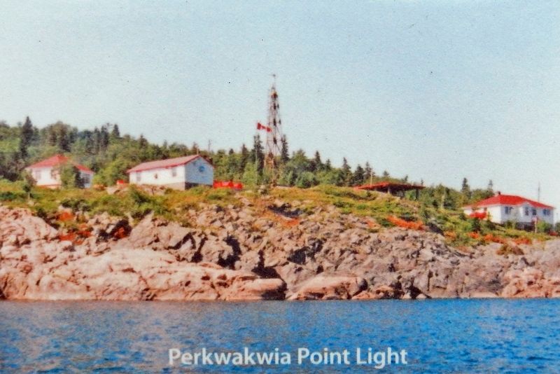
Michipicoten Lighthouse on Perkwakwia Point was constructed in 1902 as a result of increased commercial fishing activities and shipping traffic to Michipicoten Harbour. This important safety beacon was the last manned lighthouse on the Canadian Lake Superior shipping route. It was automated in 1991.
Michipicoten First Nation Treaty No. 49 encompasses nine square miles of the northeast corner of Michipicoten Bay. Much of the land you can see to your right was signed over by Chief Totomenai to Queen Victoria's representative in 1850 in the Robinson-Superior Treaty. Michipicoten First Nation is proud to be one of the first to negotiate a fair compensation for their disputed land issues.
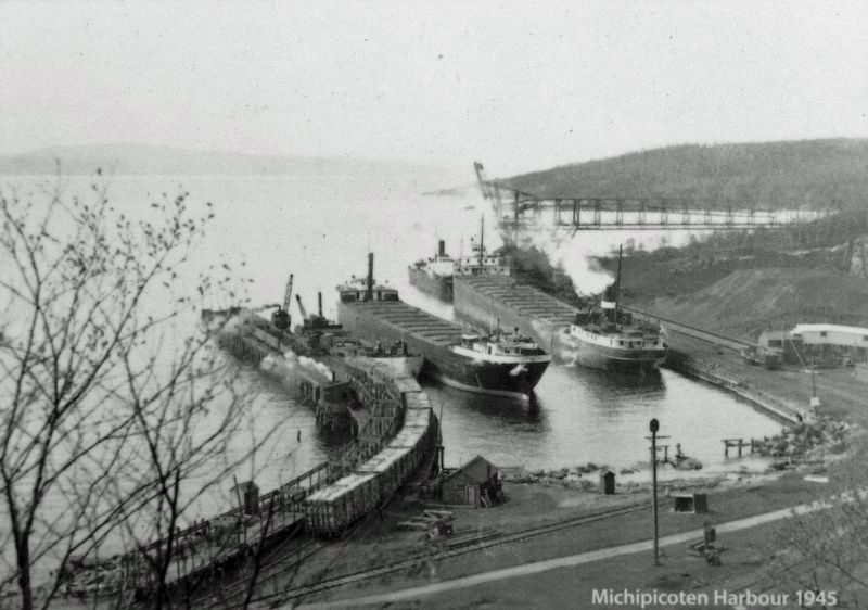
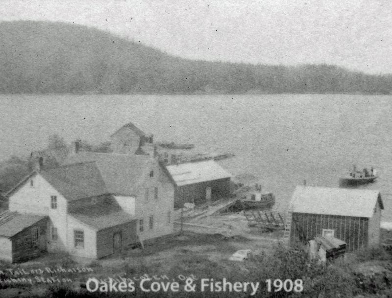
Michipicoten Harbour and Oakes Cove are safely tucked into the north shore of Michipicoten Bay. Oakes Cove has been home to a commercial fishing industry since the 1870's. Michipicoten Harbour was the site of a bustling shipping industry dating back to the early 1880's. Mormon contractors first utilized the harbour as a depot for off-loading men and supplies involved in the construction of the Canadian Pacific Railway. The first ore docks and railway loading trestle were built in 1899 following the initiation of iron mining operations in Wawa. The shipment of ore led to the birth of Algoma Central Railway and the Algoma Central Steamship Line.
During the 20th Century, Michipicoten Harbour was a vibrant community which included a school, Oakes Hotel, Summers General Store, post office, passenger steamers, pulpwood dock, staff houses for railway and logging company employees as well as a Canada Customs Duty officer. Michipicoten Harbour continues to be a one of the only deep water ports along the rugged east coast of Lake Superior.
[other photo captions]
• Michipicoten Harbour 1906
• Michipicoten Harbour 1910
• Michipicoten Harbour
Topics. This historical marker is listed in these topic lists: Industry & Commerce • Native Americans • Settlements & Settlers • Waterways & Vessels. A significant historical year for this entry is 1872.
Location. 47° 56.511′ N, 84° 50.25′ W. Marker is in Wawa, Ontario, in Algoma District. It is in Michipicoten. Marker is on Michipicoten Harbour Road, 1.5 kilometers west of Queen Street, on the left when traveling west. Marker is located at the Lake Superior Scenic Lookout. Touch for map. Marker is in this post office area: Wawa ON P0S 1K0, Canada. Touch for directions.
Other nearby markers. At least 8 other markers are within walking distance of this marker. Alexander Young Jackson (1882-1974) (a few steps from this marker); Professor Lewis Agassiz (1807-1873) (a few steps from this marker); Michipicoten River Cemetery (approx. half a kilometer away); Louisa MacKenzie Bethune (1793-1833) (approx. 0.6 kilometers away); The Fur Trade at Michipicoten (approx. 0.6 kilometers away); Captain Arthur Batten & S.S. Caribou (approx. one kilometer away); Government Dock (approx. one kilometer away); Morley Callaghan (1903-1990) (approx. one kilometer away). Touch for a list and map of all markers in Wawa.
Also see . . . Michipicoten Harbour & Lighthouses. Municipality of Wawa website entry:
Michipicoten Harbour is tucked into a sheltered cove on the north shore of Michipicoten Bay and is located 125 miles north of Sault Ste. Marie. It was first utilized for industrial development when Canada began their ambitious national railway project. Construction of the Canadian Pacific Railway between Missinabi/Chapleau and White River, turned Michipicoten Harbour into a major access point. The Lake Superior section of the CPR required 12,000 men, 2-5000 horses, and 12 steamers to deposit supplies along the North Shore. Steamers regularly stopped at a wooden dock built in Michipicoten Harbour.(Submitted on March 23, 2023, by Cosmos Mariner of Cape Canaveral, Florida.)
Credits. This page was last revised on March 27, 2023. It was originally submitted on March 23, 2023, by Cosmos Mariner of Cape Canaveral, Florida. This page has been viewed 144 times since then and 60 times this year. Photos: 1, 2, 3, 4, 5, 6. submitted on March 23, 2023, by Cosmos Mariner of Cape Canaveral, Florida.
