Hartsville in Darlington County, South Carolina — The American South (South Atlantic)
Swift Creek Baptist Church
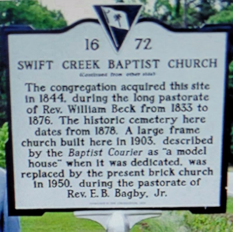
1. Swift Creek Baptist Church Marker Reverse
The earliest record of this church dates to 1789, when it belonged to the Charleston Baptist Association and had 76 members. It took its name from, and built its first and later churches near, Swift Creek. The congregation grew after a revival in 1829 and the church joined the Welsh Neck Baptist Association in 1831. It soon became a central part of this rural community.
The congregation acquired this site in 1844, during the long pastorate of Rev. William Beck from 1833 to 1876. The historic cemetery here dates from 1878. A large frame church built here in 1903, described by the Baptist Courier as "a model house" when it was dedicated, was replaced by the present brick church in 1950, during the pastorate of Rev. E.B. Bagby, Jr.
Erected 2013 by Sponsored by the Congregation. (Marker Number 16-72.)
Topics. This historical marker is listed in these topic lists: Cemeteries & Burial Sites • Religion & Religious Structures. A significant historical year for this entry is 1844.
Location. 34° 18.783′ N, 79° 58.412′ W. Marker is in Hartsville, South Carolina, in Darlington County. It is on North Center Road north of Finally
this page online

Regionally, this marker is in the Pee Dee. It is also in the American South and specifically in the Deep South. Globally, it is in North America, the Western Hemisphere, the Western World, and the Anglosphere. Historically, it finds itself in what was once the territory of the Mississippian Culture, one of the original Thirteen Colonies, one of the Confederate States of America, and the Antebellum South.
Other nearby markers. At least 8 other markers are within 6 miles of this marker, measured as the crow flies: William Andrew Dowling (approx. 3.9 miles away); Richard Petty All-Time NASCAR Record (approx. 4.1 miles away); Darlington Raceway (approx. 4.1 miles away); a different marker also named Darlington Raceway (approx. 4.1 miles away); George W. Dargan (approx. 4½ miles away); Darlington District Agricultural Society / The Mineral Spring (approx. 5.2 miles away); Henry "Dad" Brown (approx. 5.4 miles away); Laurie M. Lawson (approx. 5½ miles away).
Credits. This page was last revised on April 3, 2023. It was originally submitted on March 23, 2023, by Kathleen Gutierrez of Tucson, Arizona. This page has been viewed 652 times since then and 70 times this year. Photo 1. submitted on March 23, 2023. • J. Makali Bruton was the editor who published this page.
Editor’s want-list for this marker. Clear, full photos of both sides of the marker; a wide view photo of the marker and the surrounding area together, including a photo of the church. • Can you help?
