Downtown in Flat Rock in Wayne County, Michigan — The American Midwest (Great Lakes)
The Wyandot
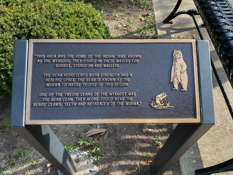
"This area was the home of the Indian tribe known as The Wyandot. They fished in these waters for burbot, sturgeon, and walleye.
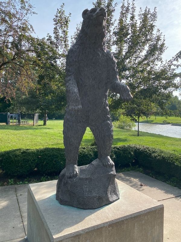
The bear represents both strength and a healing spirit. The bear is known as the mukwa to native people of this region.
One of the twelve clans of The Wyandot was The Bear Clan. They alone could wear the bears' claws, teeth and necklaces of the mukwa."
Topics. This historical marker is listed in these topic lists: Native Americans • Waterways & Vessels.
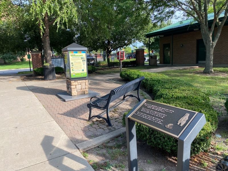
Location. 42° 5.828′ N, 83° 17.679′ W. Marker is in Flat Rock, Michigan, in Wayne County. It is in Downtown. Marker is at the intersection of Arsenal Road and Huron Street, on the right when traveling south on Arsenal Road. Touch for map. Marker is at or near this postal address: 28700 Arsenal Road, Flat Rock MI 48134, United States of America. Touch for directions.
Other nearby markers. At least 8 other markers are within 4 miles of this marker, measured as the crow flies. “It Happened Here” (about 300 feet away, measured in a direct line); Ford Motor Company Lamp Factory (approx. 0.2 miles away); Flat Rock Veterans Memorial (approx. 0.7 miles away); Cornelius G. Munger General Store (approx. 0.8 miles away); Oak Ridge Cemetery RAF Memorial (approx. 2.7 miles away); State Police Post (approx. 3 miles away); Michigan Memorial Veterans Dedication (approx. 3.1 miles away); Wyandott Indian Monument (approx. 3.1 miles away). Touch for a list and map of all markers in Flat Rock.
Related markers. Click here for a list of markers that are related to this marker.
Also see . . . Wyandot People. Excerpt:
The Wyandot emerged as a confederacy of tribes around the north shore of Lake Ontario, with their original homeland extending to Georgian Bay of Lake Huron and Lake Simcoe in Ontario, Canada and occupying territory around the western part of the lake. They predominantly descend from the ancient Tionontati (or Tobacco/Petun) people, who never belonged to the Huron (Wendat) Confederacy. However, the Wyandot(te) have connections to the Wendat-Huron through their lineage from the Attignawantan, the founding tribe of the Huron.(Submitted on March 24, 2023, by J.T. Lambrou of New Boston, Michigan.)
Credits. This page was last revised on March 24, 2023. It was originally submitted on March 24, 2023, by J.T. Lambrou of New Boston, Michigan. This page has been viewed 90 times since then and 18 times this year. Photos: 1, 2, 3. submitted on March 24, 2023, by J.T. Lambrou of New Boston, Michigan. • J. Makali Bruton was the editor who published this page.


