Big Bend National Park in Brewster County, Texas — The American South (West South Central)
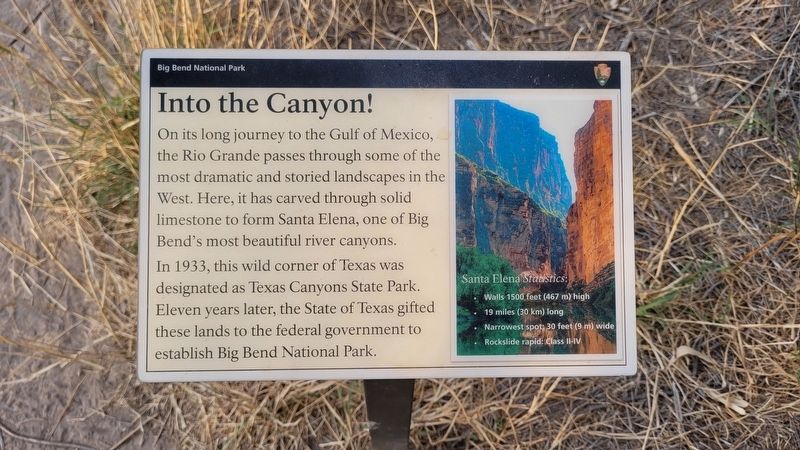
Into the Canyon!
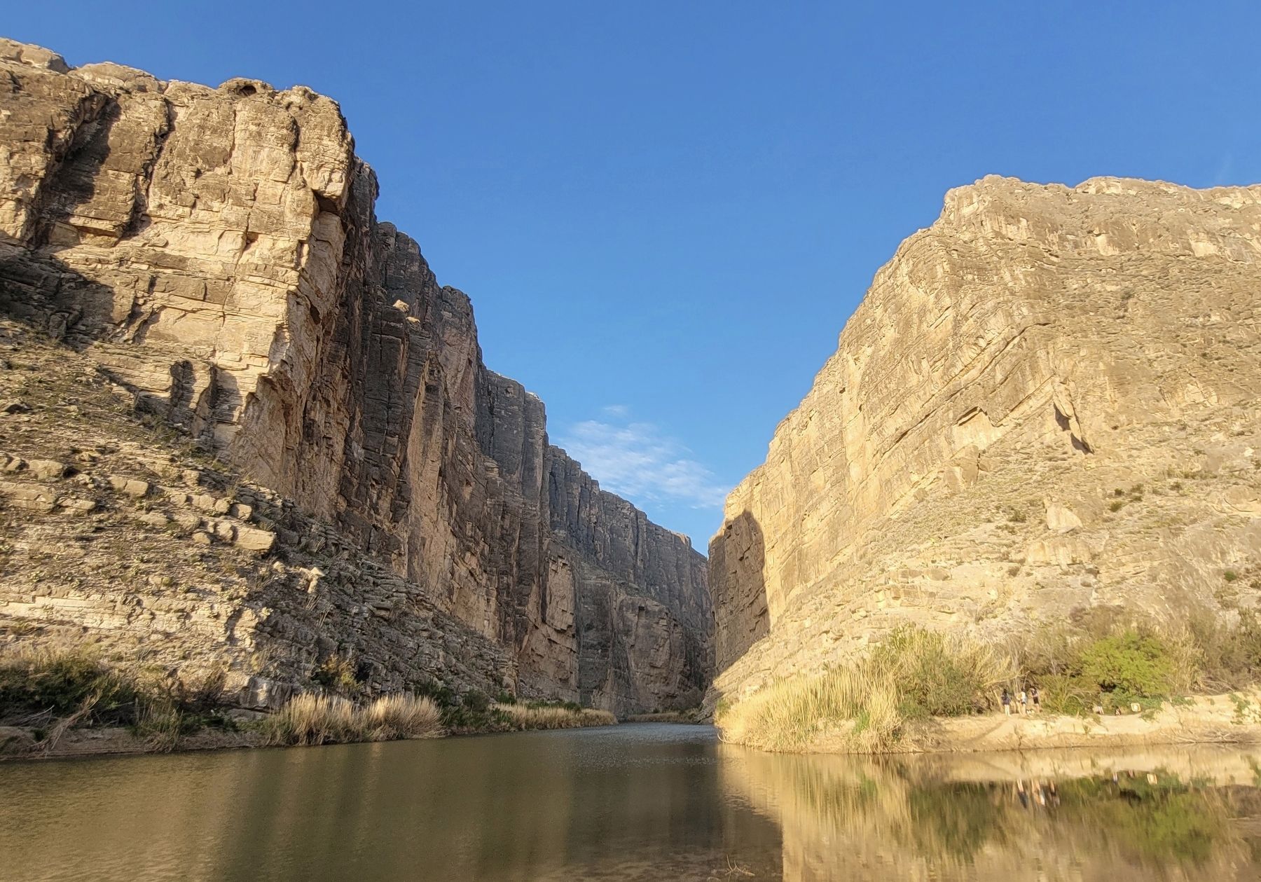
Santa Elena Statistics:
• Walls 1500 feet (467 m) high
• 19 miles (30 km) long
• Narrowest spot: 30 feet (9 m) wide
• Rockslide rapid: Class II-IV
Erected by National Park Service - U.S. Department of the Interior.
Topics. This historical marker is listed in this topic list: Parks & Recreational Areas. A significant historical year for this entry is 1933.
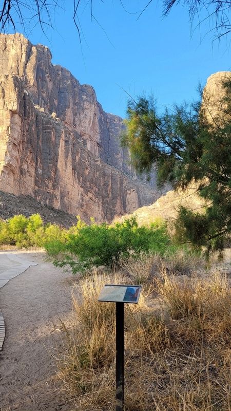
Location. 29° 10.016′ N, 103° 36.656′ W. Marker is in Big Bend National Park, Texas, in Brewster County. Marker can be reached from Ross Maxwell Scenic Drive, ¾ mile west of Old Maxwell Road. The marker is located southwest of the parking lot along the Santa Elena Canyon Trail and Rio Grande River. Touch for map. Marker is in this post office area: Big Bend National Park TX 79834, United States of America. Touch for directions.
Other nearby markers. At least 8 other markers are within 7 miles of this marker, measured as the crow flies. Grand Canyon Farms (approx. 2.1 miles away); Terlingua Abaja (approx. 2.2 miles away); La Harmonia Store (approx. 5.6 miles away); Luna's Jacal (approx. 5.7 miles away); Floodplain Panorama (approx. 6.2 miles away); Cavalry Post to Trading Post (approx. 6.2 miles away); Garlick House (approx. 6.2 miles away); Cotton Boom in Castolon (approx. 6.2 miles away). Touch for a list and map of all markers in Big Bend National Park.
More about this marker. The marker is located on the grounds of the Big Bend National Park which requires an entrance fee to access.
Also see . . . Santa Elena Canyon. National Park Service (Submitted on March 27, 2023, by James Hulse of Medina, Texas.)
Credits. This page was last revised on March 27, 2023. It was originally submitted on March 26, 2023, by James Hulse of Medina, Texas. This page has been viewed 73 times since then and 9 times this year. Photos: 1, 2, 3. submitted on March 27, 2023, by James Hulse of Medina, Texas.


