Hunt Valley in Cockeysville in Baltimore County, Maryland — The American Northeast (Mid-Atlantic)
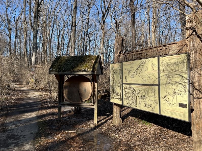
Timber 1750
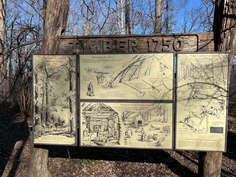
According to available records Baltimore's forests were composed of large tracks of mature trees, interspersed with grassy openings that the colonists called barrens.
Harvesting the Trees
In 1750 harvesting timber was backbreaking, dangerous work. Hard-muscled axmen limbed and cut trees to length. The log was dragged from the site using a large two-wheeled cart and a team of oxen.
An Axe to Grind
In 1750 the axe to grind was a dull axe. A sharpe axe (the woodsman's friend) cut time as well as wood.
"Driving the Piece"
This phrase described a practice devised by woodsmen to save time and labor. A skilled axman would fell one large tree so that it would take down other trees-previously notched-like a line of dominoes.
The axe used in depleting the forest of Europe was used by Native Americans and colonist until about 1725.
Birth of the American Axe
The colonial axman wanted a better cutting tool and the American axe was born. This design is still in use.
Products of the Timber Harvest
In 1750 the forests of Baltimore County yielded a bounty of food and wood products for the colonists. From the trees came tools, furniture, toys, buildings, and many items brining moments of fun and comfort into what was otherwise a daily struggle to stay fed.
More trees were cut for firewood than for any other use. A typical household could use 30 to 40 cords of firewood each year. This is a pile of wood 4ft. high x 4 ft. wide x 300 ft. long.
From Logs to Lumber
Logs were made into beams and boards needed by colonists to build homes, barns and boards needed by colonists to build homes, barns, and buildings. Depicted here is a small scale, timber harvesting and lumber making operation.
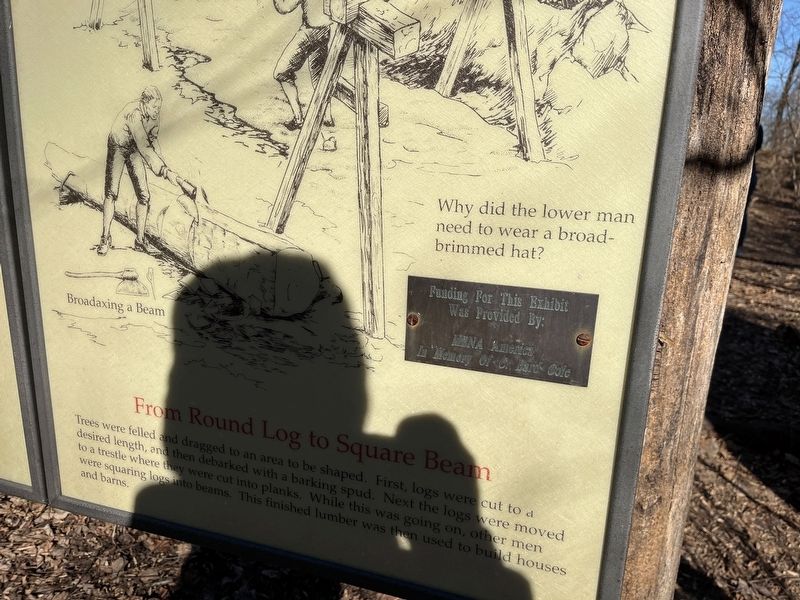
From Round Log to Square Beam
Trees were felled and dragged to an area to be shaped. First, logs were cut to a desired length, and then debarked with a barking spud. Next the logs were moved to a trestle where they were cut into planks. While this was going on, other men were squaring logs into beams. This finished lumber was then used to build houses and barns.
Erected by MBNA America.
Topics. This historical marker is listed in these topic lists: Colonial Era • Horticulture & Forestry • Industry & Commerce • Settlements & Settlers. A significant historical year for this entry is 1750.
Location. 39° 29.657′ N, 76° 41.534′ W. Marker is in Cockeysville, Maryland, in Baltimore County. It is in Hunt Valley. Marker can be reached from Shawan Road. Touch for map. Marker is at or near this postal address: 1415 Shawan Rd, Cockeysville MD 21030, United States of America. Touch for directions.
Other nearby markers. At least 8 other markers are within walking distance of this marker. Peter Goff Tenant House (within shouting distance of this marker); Iron Ore Pit (within shouting distance of this marker); Marble Quarry (about 300 feet away, measured in a direct line); a different marker also named Iron Ore Pit (about 300 feet away); Soot and Sweat (approx. 0.2 miles away); A Blast from the Past (approx. 0.2 miles away); Furnace Operations - Management (approx. 0.2 miles away); Furnace Operations - Labor (approx. 0.2 miles away). Touch for a list and map of all markers in Cockeysville.
Credits. This page was last revised on April 3, 2023. It was originally submitted on March 30, 2023, by Adam Margolis of Mission Viejo, California. This page has been viewed 66 times since then and 14 times this year. Photos: 1, 2, 3, 4. submitted on March 30, 2023, by Adam Margolis of Mission Viejo, California. • Bill Pfingsten was the editor who published this page.


