Near Julian in San Diego County, California — The American West (Pacific Coastal)
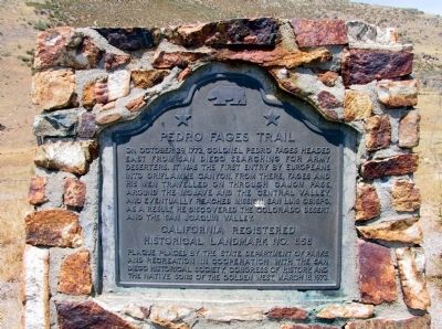
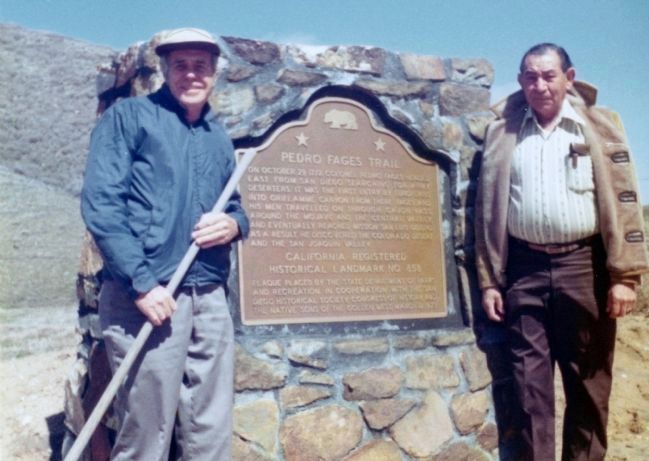
Pedro Fages Trail
Erected 1973 by State Department of Parks and Recreation in cooperation with the San Diego Historical Society, Congress of History, and Native Sons of the Golden West. (Marker Number 858.)
Topics and series. This historical marker is listed in these topic lists: Exploration • Hispanic Americans • Settlements & Settlers. In addition, it is included in the California Historical Landmarks, and the Native Sons/Daughters of the Golden West series lists. A significant historical month for this entry is October 1835.
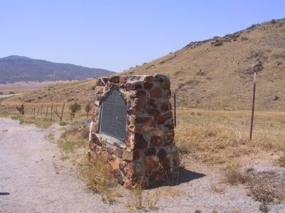
Location. 32° 59.66′ N, 116° 32.547′ W. Marker is near Julian, California, in San Diego County. Marker is on Sunset Highway (County Road S1 at milepost 36), on the right when traveling south. Touch for map. Marker is in this post office area: Julian CA 92036, United States of America. Touch for directions.
Other nearby markers. At least 8 other markers are within 7 miles of this marker, measured as the crow flies. Box Canyon (approx. 6 miles away); Julian Jail (approx. 6.6 miles away); F.L. Blanc Warehouse (approx. 6.7 miles away); F.L. Blanc Rental (approx. 6.7 miles away); Frary House (approx. 6.7 miles away); Hoskings Rental (approx. 6.7 miles away); De Luca House (approx. 6.7 miles away); Hotel Robinson (approx. 6.7 miles away). Touch for a list and map of all markers in Julian.
Credits. This page was last revised on April 1, 2023. It was originally submitted on December 29, 2011, by Michael Kindig of Elk Grove, California. This page has been viewed 1,204 times since then and 54 times this year. Last updated on March 31, 2023, by James King of San Miguel, California. Photos: 1, 2. submitted on December 30, 2011, by Michael Kindig of Elk Grove, California. 3. submitted on May 26, 2013, by Teresa Forsythe of Charlotte, North Carolina. • J. Makali Bruton was the editor who published this page.


