Missouri Botanical Garden in St. Louis, Missouri — The American Midwest (Upper Plains)
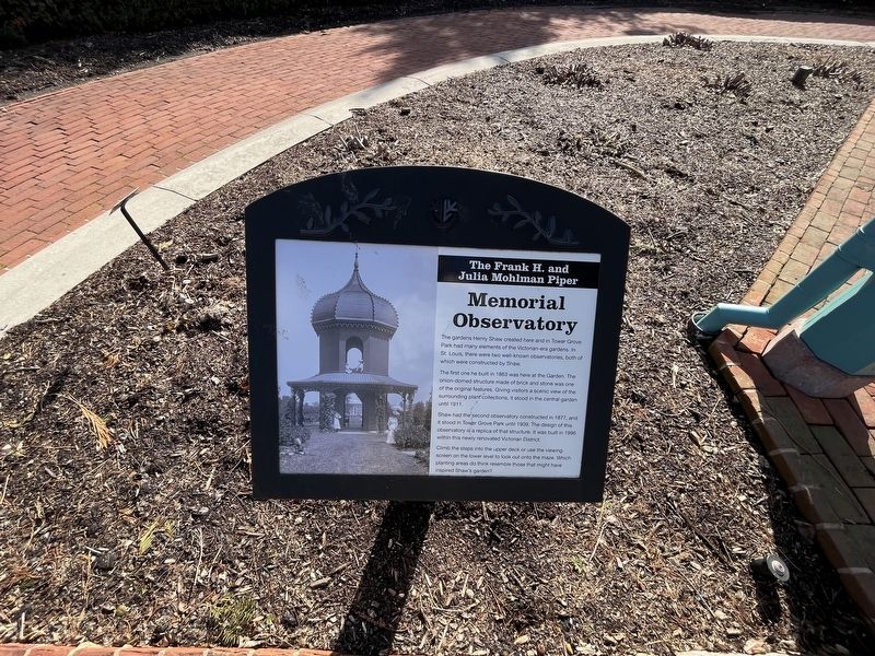
The Frank H. and Julia Mohlman Piper Memorial Observatory
By Devry Becker Jones (CC0), March 26, 2023
1. The Frank H. and Julia Mohlman Piper Memorial Observatory Marker
The gardens Henry Shaw created here and in Tower Grove Park had many elements of the Victorian-era gardens. In St. Louis, there were two well-known observatories, both of which were constructed by Shaw.
The first one he built in 1863 was here at the Garden. The onion-domed structure made of brick and stone was one of the original features. Giving visitors a scenic view of the surrounding plant collections, it stood in the central garden until 1911.
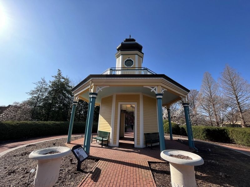
Shaw had the second observatory constructed in 1877, and it stood in Tower Grove Park until 1909. The design of this observatory is a replica of that structure. It was built in 1996 within this newly renovated renovation Victorian District.
Climb the steps into the upper deck or use the viewing screen on the lower level to look out onto the maze. Which planting areas do think resemble those that might have inspired Shaw's garden?
Erected by Missouri Botanical Garden.
Topics. This historical marker is listed in these topic lists: Architecture • Horticulture & Forestry • Parks & Recreational Areas. A significant historical year for this entry is 1863.
Location. 38° 36.669′ N,
this page online

Regionally, this marker is in the American Midwest, in the Lewis & Clark Corridor, in the Corn Belt, and in the Great River Road Region. Globally, it is in North America, the Western Hemisphere, the Western World, and the Anglosphere. Historically, it finds itself in what was once the territory of the Mississippian Culture, the Louisiana Purchase, and the Antebellum South.
Other nearby markers. At least 8 other markers are within walking distance of this marker: Mazes (here, next to this marker); Why a Pincushion Garden? (a few steps from this marker); Observatories (a few steps from this marker); Jennie Latzer Kaeser Memorial Maze (a few steps from this marker); Magnolia (within shouting distance of this marker); Shoenberg Administration Building (within shouting distance
Credits. This page was last revised on July 18, 2023. It was originally submitted on March 31, 2023, by Devry Becker Jones of Washington, District of Columbia. This page has been viewed 405 times since then and 30 times this year. Photos: 1, 2. submitted on March 31, 2023, by Devry Becker Jones of Washington, District of Columbia.
