Bastrop in Bastrop County, Texas — The American South (West South Central)
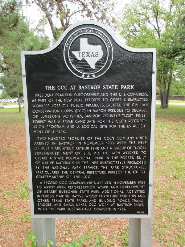
The CCC at Bastrop State Park
Photographed by Jeff Leichsenring, March 27, 2023
1. The CCC at Bastrop State Park Marker
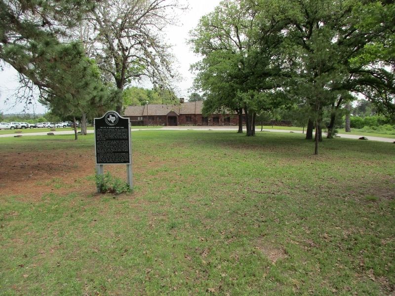
Two hundred recruits of the CCC's Company #1805 arrived in Bastrop in November 1933. With the help of Austin architect Arthur Fehr and a group of "local experienced men" or L. E. M.s, the men worked to create a state recreational park in the forest. Built of native materials in the "NPS Rustic" style promoted by the National Park service, the park structures, particularly the central refectory, reflect the expert craftsmanship of the CCC.
A second CCC company, #1811, arrived in November 1934 to assist with reforestation work and development of nearby Buescher State Park. Additional activities included making native wood furniture for this and other Texas state parks, and building roads, trails, bridges, and small lakes. CCC work at
this page online
Erected 1991 by Texas Historical Commission. (Marker Number 9166.)
Topics. This historical marker is listed in these topic lists: Charity & Public Work • Parks & Recreational Areas.
Location. 30° 6.551′ N, 97° 16.972′ W. Marker is in Bastrop, Texas, in Bastrop County. It is on Park Road 1A (Road 1A). Bastrop State Park Refectory on Park Road 1A, 2 miles east of Bastrop on Loop 150 at SH 21. Touch for map. Marker is at or near this postal address: 100 Park Road 1A, Bastrop TX 78602, United States of America. Touch for directions.

Regionally, this marker is in Central Texas and in the Austin Metropolitan Area. It is also in the American South. Globally, it is in North America, a Gulf of Mexico state, the Western Hemisphere, the Western World, and the Anglosphere. Historically, it finds itself in what was once New Spain, the Republic of Texas, one of the Confederate States of America, and the Antebellum South.
Other nearby markers. At least 8 other markers are within 2 miles of this marker, measured
Photographed by Jeff Leichsenring, March 27, 2023
2. The CCC at Bastrop State Park Marker
Credits. This page was last revised on April 1, 2023. It was originally submitted on April 1, 2023, by Jeff Leichsenring of Garland, Texas. This page has been viewed 626 times since then and 55 times this year. Photos: 1, 2. submitted on April 1, 2023, by Jeff Leichsenring of Garland, Texas. • James Hulse was the editor who published this page.
