St. Louis Place , Missouri — The American Midwest (Upper Plains)
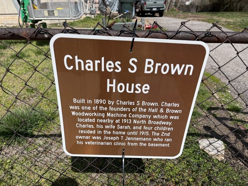
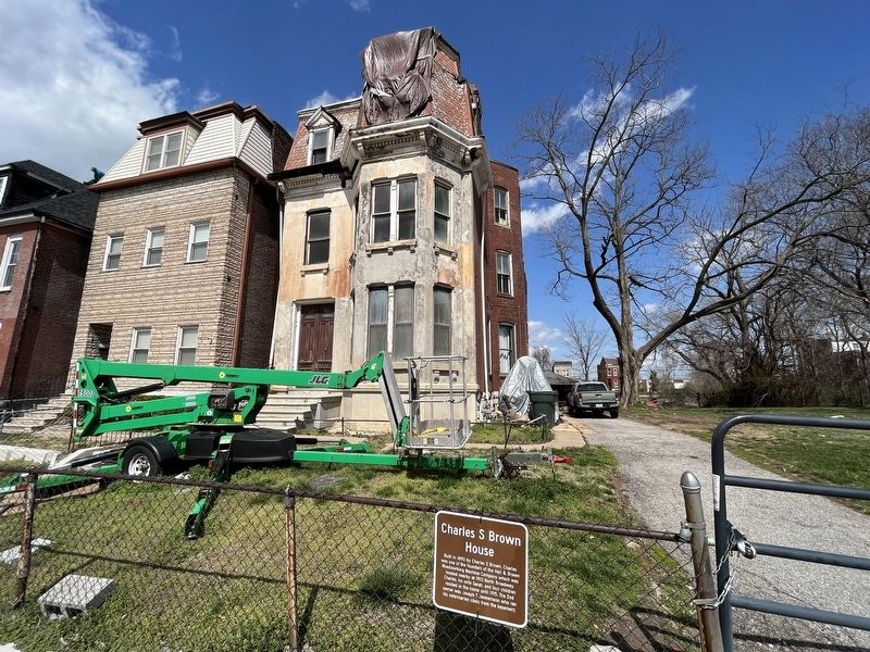
Charles S Brown House
Topics. This historical marker is listed in these topic lists: Animals • Industry & Commerce • Science & Medicine. A significant historical year for this entry is 1890.
Location. 38° 39.154′ N, 90° 12.509′ W. Marker is in St. Louis, Missouri. It is in St. Louis Place. It is on St. Louis Avenue east of North 25th Street, on the right when traveling west. Touch for map. Marker is at or near this postal address: 2337 St Louis Avenue, Saint Louis MO 63106, United States of America. Touch for directions.

Regionally, this marker is in the American Midwest, in the Lewis & Clark Corridor, in the Corn Belt, and in the Great River Road Region. Globally, it is in North America, the Western Hemisphere, the Western World, and the Anglosphere. Historically, it finds itself in what was once the
this page online
Other nearby markers. At least 8 other markers are within one mile of this marker, measured as the crow flies: The Griot Museum Of Black History (within shouting distance of this marker); George Boyer Vashon Museum of African American History (about 700 feet away, measured in a direct line); St. Louis Place Historic District (approx. ¼ mile away); Murphy-Blair National Historic District (approx. half a mile away); Our Story (approx. 0.6 miles away); Official Site of Sportsman's Park (approx. 0.7 miles away); IBEW (approx. 1.1 miles away); Rev. Dr. John J. Hicks (approx. 1.1 miles away). Touch for a list and map of all markers in St. Louis.
Credits. This page was last revised on January 5, 2025. It was originally submitted on April 2, 2023, by Devry Becker Jones of Washington, District of Columbia. This page has been viewed 4,685 times since then and 352 times this year. Photos: 1, 2. submitted on April 2, 2023, by Devry Becker Jones of Washington, District of Columbia.
