Near Collinsville in St. Clair County, Illinois — The American Midwest (Great Lakes)
Mound 55
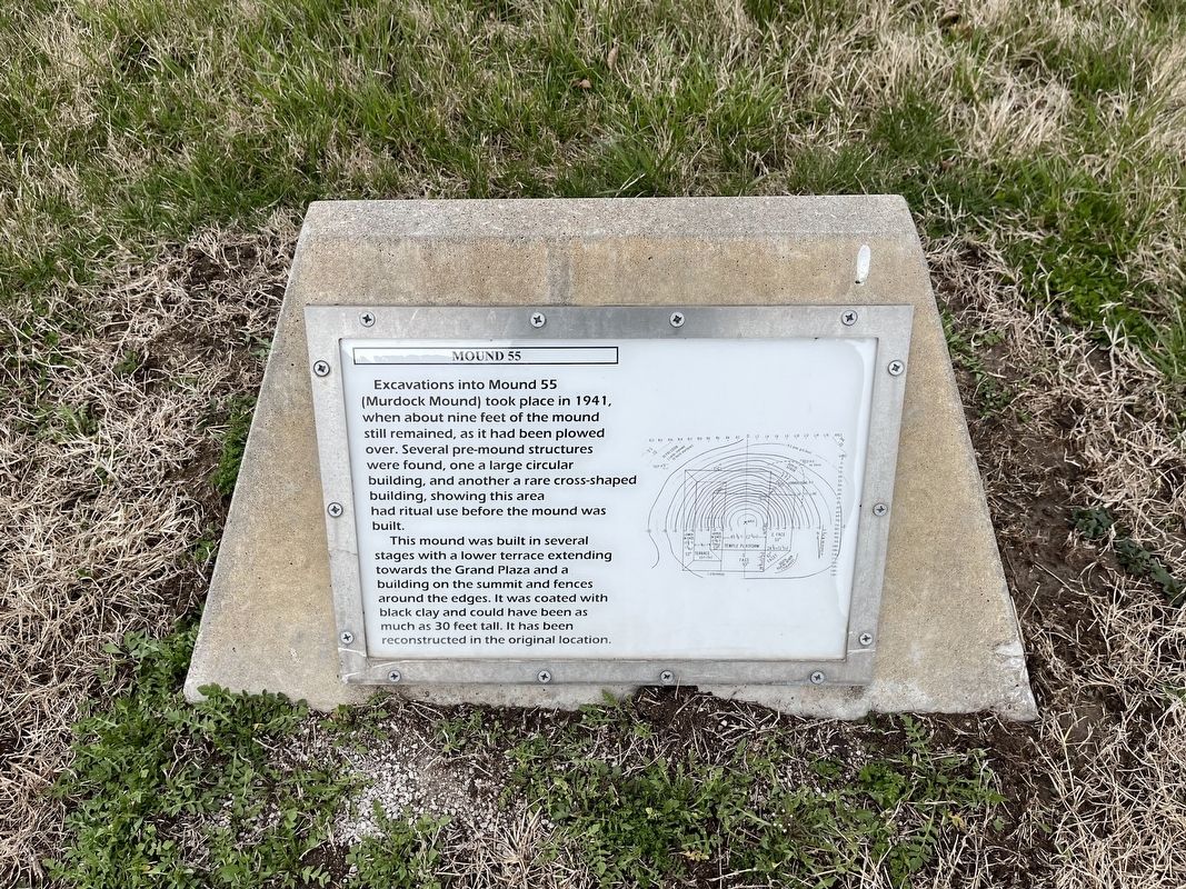
Excavations into Mound 55 (Murdock Mound) took place in 1941, when about nine feet of the mound still remained, as it had been plowed over. Several pre-mound structures were found, one a larger circular building, and another a rare cross-shaped building, showing this area had ritual use before the mound was built.
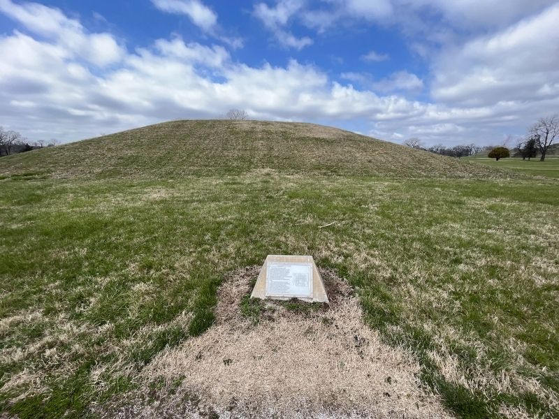
This mound was built in several stages with a lower terrace extending towards the Grand Plaza and a building on the summit and fences around the edges. It was coated with black clay and could have been as much as 30 feet tall. It has been reconstructed in the original location.
Topics. This historical marker is listed in these topic lists: Anthropology & Archaeology • Churches & Religion • Native Americans. A significant historical year for this entry is 1941.
Location. 38° 39.376′ N, 90° 3.574′ W. Marker is near Collinsville, Illinois, in St. Clair County. Marker is on Ramey Drive south of Collinsville Road, on the right when traveling south. Touch for map. Marker is at or near this postal address: 2 Ramey Dr, Collinsville IL 62234, United States of America. Touch for directions.
Other nearby markers. At least 8 other markers are within walking distance of this marker. Interpretive Center Tract (within shouting distance of this marker); Grand Plaza (about 400 feet away, measured in a direct line); Mound 50 (about 600 feet away); You Are Walking Where a Cahokia Neighborhood Once Stood (about 600 feet away); Cahokia Mounds (about 700 feet away); Cahokia (about 700 feet away); Mound 51 (about 800 feet away); Monks Mound (approx. 0.2 miles away). Touch for a list and map of all markers in Collinsville.
Credits. This page was last revised on April 2, 2023. It was originally submitted on April 2, 2023, by Devry Becker Jones of Washington, District of Columbia. This page has been viewed 57 times since then and 12 times this year. Photos: 1, 2. submitted on April 2, 2023, by Devry Becker Jones of Washington, District of Columbia.

