Near Collinsville in St. Clair County, Illinois — The American Midwest (Great Lakes)
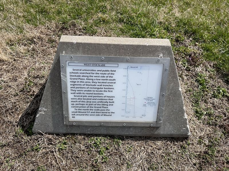
West Stockade
Several universities and public field schools searched for the route of the Stockade along the west side south of the Grand Plaza. Along a low north-south ridge in this area, they located several segments of Stockade wall trenches and portions of rectangular bastions. They were unable to locate the first wall with its round bastion.
Several pits and portions of houses were also located and evidence that much of this area was artificially built up, perhaps as part of the filling and construction of the Grand Plaza.
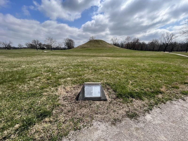
To the north the walls pass the small Mound 57 and then the bend to the left around the west side of Mound 48.
Topics. This historical marker is listed in these topic lists: Anthropology & Archaeology • Forts and Castles • Native Americans. A significant historical year for this entry is 1000 CE.
Location. 38° 39.277′ N, 90° 3.936′ W. Marker is near Collinsville, Illinois, in St. Clair County. Marker can be reached from Ramey Street south of Collinsville Road, on the right when traveling south. Touch for map. Marker is at or near this postal address: 2 Major St, Collinsville IL 62234, United States of America. Touch for directions.
Other nearby markers. At least 8 other markers are within walking distance of this marker. The Twin Mounds (about 700 feet away, measured in a direct line); The South Stockade (approx. 0.2 miles away); Mound 72 (approx. ¼ mile away); Grand Plaza (approx. ¼ mile away); Interpretive Center Tract (approx. 0.3 miles away); Mound 55 (approx. 0.3 miles away); Monks Mound - South Ramp (approx. 0.3 miles away); Cahokia (approx. 0.4 miles away). Touch for a list and map of all markers in Collinsville.
Credits. This page was last revised on April 2, 2023. It was originally submitted on April 2, 2023, by Devry Becker Jones of Washington, District of Columbia. This page has been viewed 53 times since then and 11 times this year. Photos: 1, 2. submitted on April 2, 2023, by Devry Becker Jones of Washington, District of Columbia.

