Old Irving Park in Greensboro in Guilford County, North Carolina — The American South (South Atlantic)
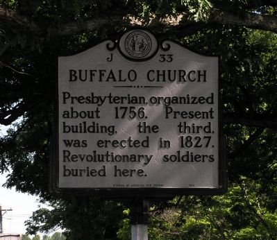
Buffalo Church
Photographed by Paul Crumlish, May 10, 2010
1. Buffalo Church Marker
Erected 1951 by North Carolina Division of Archives and History. (Marker Number J-33.)
Topics and series. This historical marker is listed in these topic lists: Cemeteries & Burial Sites • Religion & Religious Structures • War, US Revolutionary. In addition, it is included in the North Carolina Division of Archives and History series list. A significant historical year for this entry is 1756.
Location. Marker is missing. It was located near 36° 6.554′ N, 79° 46.833′ W. Marker was in Greensboro, North Carolina, in Guilford County. It was in Old Irving Park. It was at the intersection of North Church Street and Sixteenth Street, on the right when traveling north on North Church Street. Touch for map. Marker was at or near this postal address: 803 16th St, Greensboro NC 27405, United States of America. Touch for directions.

Regionally, this marker was in North Carolina’s Piedmont and specifically in Piedmont Triad. It was also in the American South and specifically in the Upper
this page online
Other nearby markers. At least 8 other markers are within 2 miles of this location, measured as the crow flies: Irving Park (approx. one mile away); Simkins v. Cone (approx. 1.3 miles away); Cone Brothers (approx. 1½ miles away); Guilford County Health Department (approx. 1½ miles away); Greensboro O.R.D. (approx. 1.8 miles away); William C. Beasley House (approx. 1.9 miles away); "The Genesis Monument" (approx. 1.9 miles away); Fisher Park (approx. 1.9 miles away). Touch for a list and map of all markers in Greensboro.
Photographed by Paul Crumlish, May 10, 2010
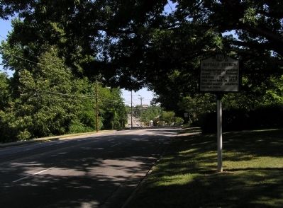
2. Wide view of the Buffalo Church Marker
Photographed by Paul Crumlish, May 10, 2010
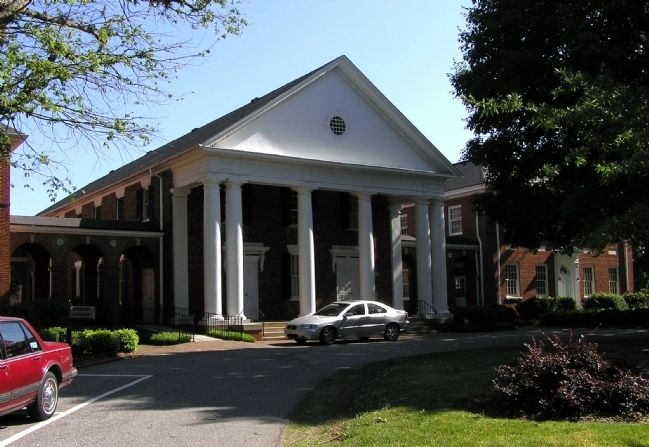
3. Buffalo Presbyterian Church (1827)
Photographed by Paul Crumlish, May 10, 2010
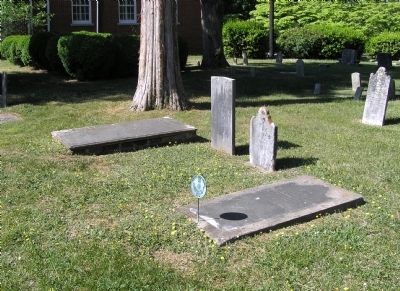
4. The graves of several of the Revolutionary War veterans in Buffalo Presbyterian Church Cemetery
Credits. This page was last revised on July 29, 2026. It was originally submitted on May 18, 2010, by PaulwC3 of Northern, Virginia. This page has been viewed 1,347 times since then and 32 times this year. Last updated on April 3, 2023, by Michael Buckner of Durham, North Carolina. Photos: 1, 2, 3, 4. submitted on May 18, 2010, by PaulwC3 of Northern, Virginia. • Bernard Fisher was the editor who published this page.
