Springfield in Orangeburg County, South Carolina — The American South (South Atlantic)
Rocky Swamp Methodist Church and Cemetery
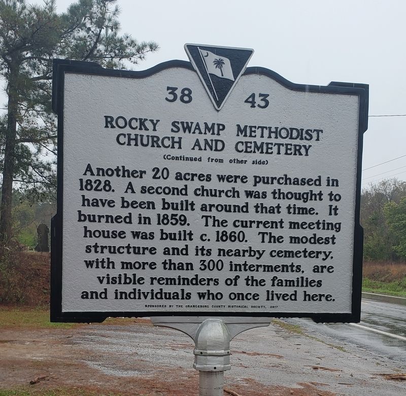
(side 1)
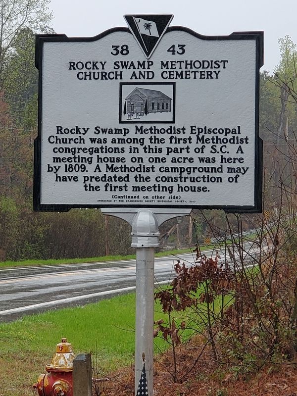
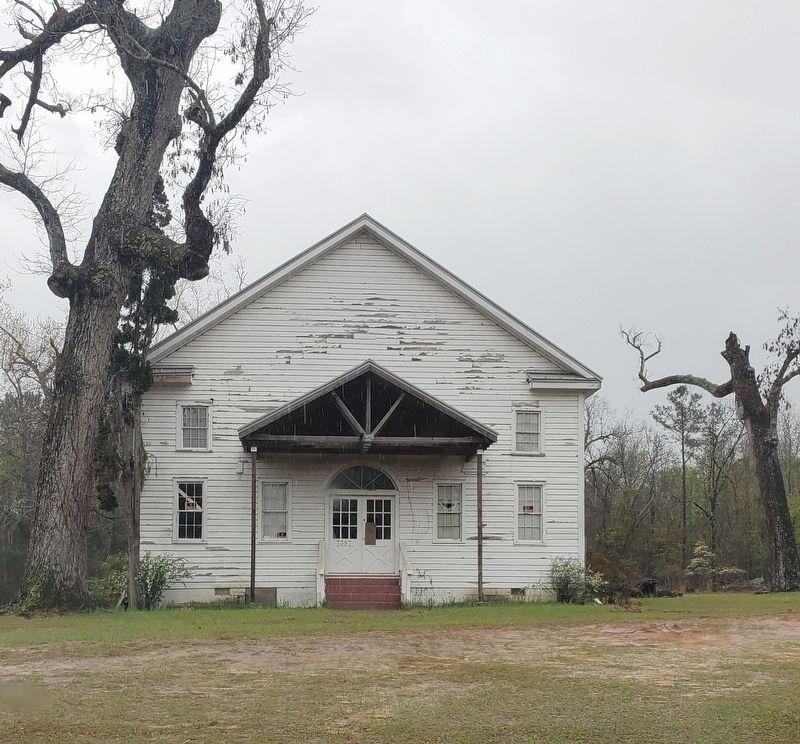
Rocky Swamp Methodist Episcopal Church was among the first Methodist congregations in this part of S.C. A meeting house on one acre was here by 1809. A Methodist campground may have predated the construction of the first meeting house.
Erected 2017 by Orangeburg County Historical Society. (Marker Number 38-43.)
Topics. This historical marker is listed in these topic lists: Cemeteries & Burial Sites • Churches & Religion. A significant historical year for this entry is 1809.
Location. 33° 30.585′ N, 81° 11.435′ W. Marker is in Springfield, South Carolina, in Orangeburg County. Marker is on Neeses Highway, 0.3 miles east of Kyzer Brown Road, on the right when traveling east. Touch for map. Marker is at or near this postal address: 7387 Neeses Highway, Springfield SC 29146, United States of America. Touch for directions.
Other nearby markers. At least 8 other markers are within 10 miles of this marker, measured as the crow flies. Rocky Swamp Rosenwald School (approx. 2˝ miles away); Neeses (approx. 4.1 miles away); Capt. Dempsey Hammond Salley (approx. 7.7 miles away); The Salley Family (approx. 7.7 miles away); Holman's Bridge (approx. 8 miles away); Old Indian Trail (approx. 8.4 miles away); The Town Of North (approx. 8.9 miles away); God’s Acre Healing Springs (approx. 9.4 miles away).
Credits. This page was last revised on April 3, 2023. It was originally submitted on April 3, 2023, by Yvonne Vaughn of Elgin, South Carolina. This page has been viewed 123 times since then and 35 times this year. Photos: 1, 2, 3. submitted on April 3, 2023, by Yvonne Vaughn of Elgin, South Carolina. • Bernard Fisher was the editor who published this page.


