Big Arm in Lake County, Montana — The American West (Mountains)
Big Arm School
Photographed by Barry Swackhamer, August 9, 2022
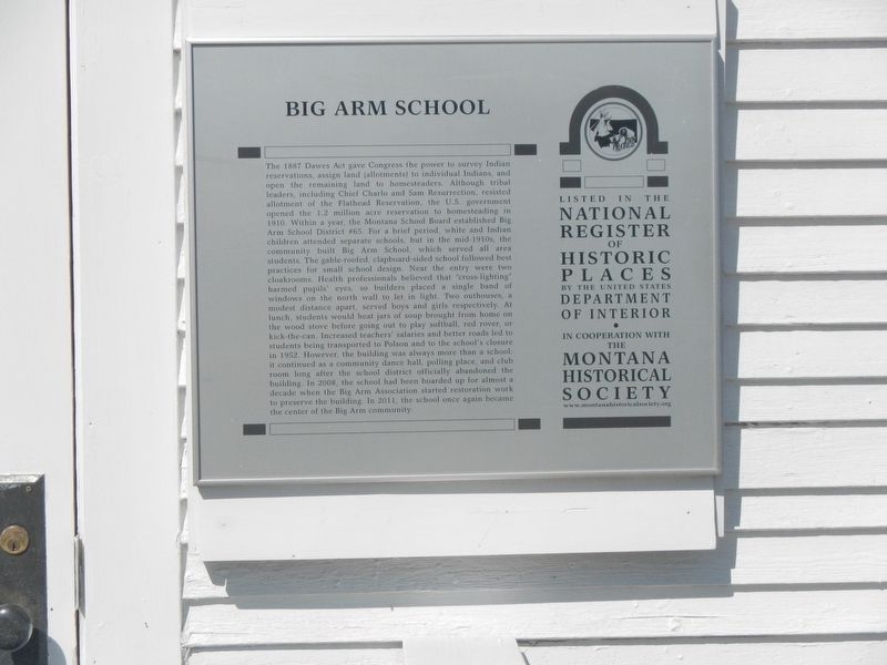
1. Big Arm School Marker
Inscription.
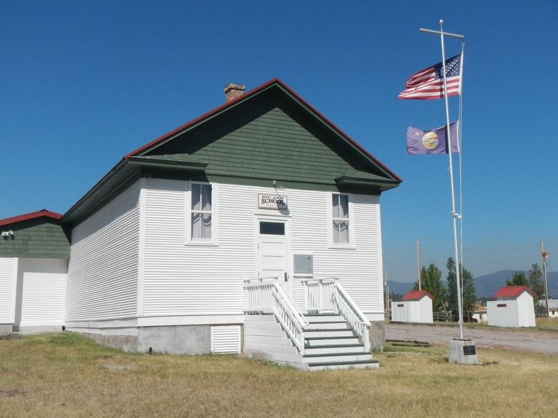
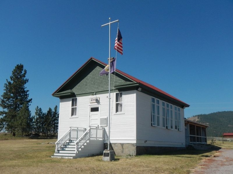
The 1887 Dawes Act gave Congress the power to survey Indian reservations, assign land (allotments) to individual Indians, and open the remaining land to homesteaders. Although tribal leaders, including Chief Charlo and Sam Resurrection, resisted allotment of the Flathead Reservation, the U.S. government opened the 1.2 million acre reservation to homesteading in 1910. Within a year, the Montana School Board established Big Arm School District #65. For a brief period, white and Indian children attended separate schools, but in the mid-1910s, the community built Big Arm School, which served all area students. The gable-roofed, clapboard-sided school followed best practices for small school design. Near the entry were two cloakrooms. Health professionals believed that “cross-lighting” harmed pupils’ eyes, so builders placed a single band of windows on the north wall to let in light. Two outhouses, a modest distance apart, served boys and girls respectively. At lunch, students would heat jars of soup brought from home on the wood stove before going out to play softball, red rover, or kick-the-can. Increased teachers’ salaries
Click or scan to see this page online
and better roads led to students being transported to Polson and to the school's closure in 1952. However, the building was always more than a school: it continued as a community dance hall, polling place, and club room long after the school district officially abandoned the building. In 2008, the school had been boarded up for almost a decade when the Big Arm Association started restoration work to preserve the building. In 2011, the school once again became the center of the Big Arm community.
Location. 47° 47.814′ N, 114° 17.69′ W. Marker is in Big Arm, Montana, in Lake County. It is on Seventh Street near D Street, on the left when traveling south. Touch for map. Marker is in this post office area: Big Arm MT 59910, United States of America. Touch for directions.
Regionally,
Photographed by Barry Swackhamer, August 9, 2022
2. Big Arm School and Marker
this marker is in Western Montana and in Glacier Country. It is also in the American Mountain West and in the Lewis & Clark Corridor. Globally, it is in North America, the Rocky Mountains, the Western Hemisphere, the Western World, and the Anglosphere. Historically, it finds itself in what was once Rupert’s Land and also the Louisiana Purchase.
Credits. This page was last revised on December 27, 2024. It was originally submitted on April 3, 2023, by Barry Swackhamer of Brentwood, California. This page has been viewed 204 times since then and 22 times this year. Photos:1, 2, 3. submitted on April 3, 2023, by Barry Swackhamer of Brentwood, California.