Hungary Horse in Flathead County, Montana — The American West (Mountains)
Berne Roadside Park
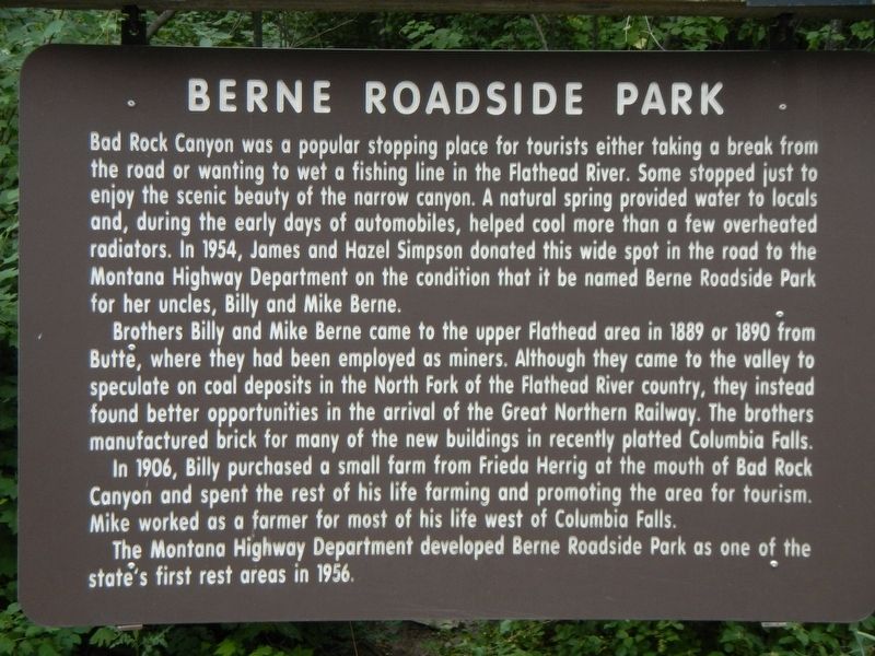
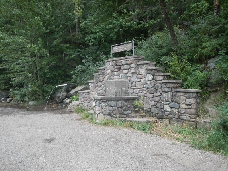
Bad Rock Canyon was a popular stopping place for tourists either taking a break from the road or wanting to wet a fishing line in the Flathead River. Some stopped just to enjoy the scenic beauty of the narrow canyon. A natural spring provided water to locals and, during the early days of automobiles, helped cool more than a few overheated radiators. In 1954, James and Hazel Simpson donated this wide spot in the road to the Montana Highway Department on condition that if be named Berne Roadside Park for her uncles, Billy and Mike Berne.
Brothers Billy and Mike Berne came to the upper Flathead area in 1889 from Butte, where they had been employed as miners. Although they came to the valley to speculate on coal deposits in the North Fork of the Flathead River country, they instead found better opportunities in the arrival of the Great Northern Railway. The brothers manufactured brick for many of the new buildings in recently platted Columbia Falls.
In 1906, Billy purchased a small farm from Frieda Herrig at the mouth of Bad Rock Canyon and spent the rest of his life farming and promoting the area for tourism. Mike worked as a farmer for most of his life west of Columbia Falls.
The Montana Highway Department developed Berne Roadside Park as one of the states first rest areas in 1956.
Erected by Montana Department of Transportation.
Topics. This historical marker is listed in these topic lists: Parks & Recreational Areas • Roads & Vehicles.
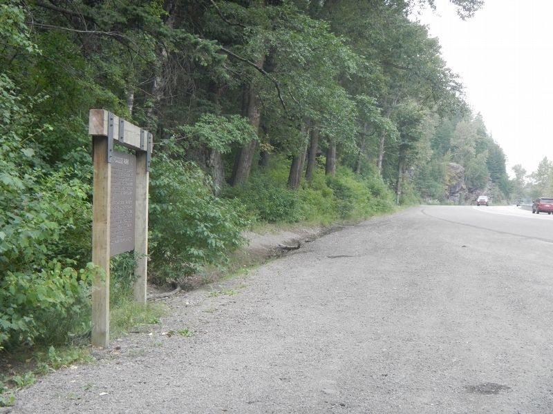
Location. 48° 23.143′ N, 114° 6.142′ W. Marker is in Hungary Horse, Montana, in Flathead County. Marker is on U.S. 2 near River Drive (aka Colorado Blvd), on the right when traveling east. Touch for map. Marker is in this post office area: Columbia Falls MT 59912, United States of America. Touch for directions.
Other nearby markers. At least 8 other markers are within 16 miles of this marker, measured as the crow flies. Surrounded by Wilderness (a few steps from this marker); Bad Rock Canyon (about 300 feet away, measured in a direct line); Hungry Horse Clearing Ball (approx. 1.8 miles away); The Legend of Hungry Horse (approx. 1.8 miles away); Dean Rental Property (approx. 15.9 miles away); Conrad Mansion (approx. 16 miles away); East Side Historic District (approx. 16 miles away); Driscoll House (approx. 16 miles away).
Credits. This page was last revised on March 13, 2024. It was originally submitted on April 5, 2023, by Barry Swackhamer of Brentwood, California. This page has been viewed 518 times since then and 252 times this year. Photos: 1, 2, 3. submitted on April 5, 2023, by Barry Swackhamer of Brentwood, California.


