Marker Logo HMdb.org THE HISTORICAL
MARKER DATABASE
“Bite-Size Bits of Local, National, and Global History”
Near Burton in Washington County, Texas — The American South (West South Central)
 

Mt. Zion Cemetery


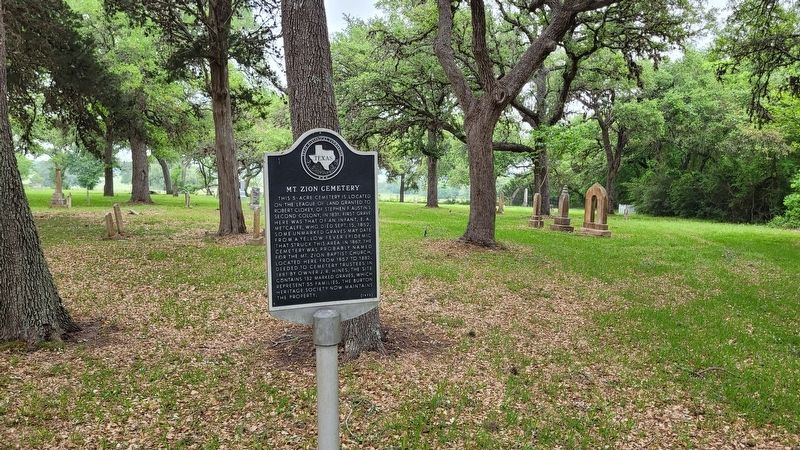
Mt. Zion Cemetery Marker image. Click for full size.
Photographed By James Hulse, April 2, 2023
1. Mt. Zion Cemetery Marker
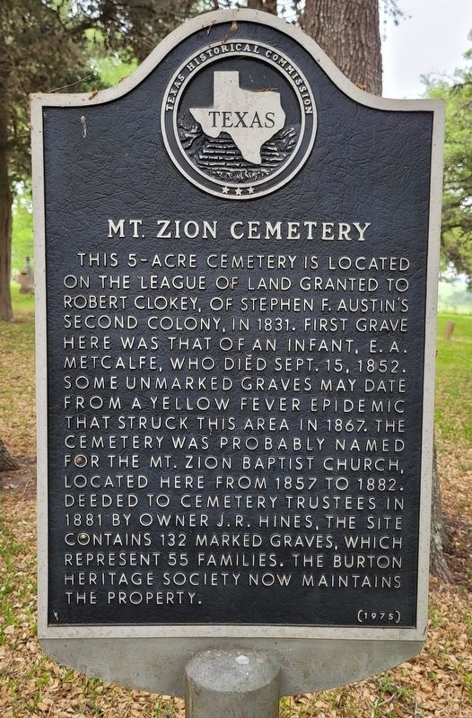
Inscription. This 5-acre cemetery is located on the league of land granted to Robert Clokey, of Stephen F. Austin's Second Colony, in 1831. First grave here was that of an infant, E.A. Metcalfe, who died Sept. 15, 1852. Some unmarked graves may date from a yellow fever epidemic that struck this area in 1867. The cemetery was probably named for the Mt. Zion Baptist Church, located here from 1857 to 1882. Deeded to cemetery trustees in 1881 by owner J.R. Hines, the site contains 132 marked graves, which represent 55 families. The Burton Heritage Society now maintains the property.
 
Erected 1975 by Texas Historical Commission. (Marker Number 8373.)
 
Topics. This historical marker is listed in this topic list: Cemeteries & Burial Sites. A significant historical date for this entry is September 15, 1852.
 
Location. 30° 12.82′ N, 96° 34.621′ W. Marker is near Burton, Texas, in Washington County. Marker is on Farm to Market Road 1948, 0.1 miles north of La Bahia Trail, on the right when traveling north. The marker is located at the southeast entrance of the cemetery near the driveway. Touch for map. Marker is in this post office area: Burton TX 77835, United States of America. Touch for directions.
 
Other nearby markers. At least 8 other markers are within 3 miles of this marker, measured as the crow flies. Mt. Zion Baptist Church (within shouting distance of this marker); Site of St. Paul-Rehburg School (approx.
Paid Advertisement
Click on the ad for more information.
Please report objectionable advertising to the Editor.
Click or scan to see
this page online
2.1 miles away); St. John's United Church of Christ Cemetery (approx. 2.2 miles away); St. John's Evangelical and Reformed Church (approx. 2.3 miles away); Burton High School (approx. 2.4 miles away); Steiner & Dallmeyer Building (approx. 2.4 miles away); Texas Pink Granite Rock (approx. 2˝ miles away); Burton Community (approx. 2˝ miles away). Touch for a list and map of all markers in Burton.
 
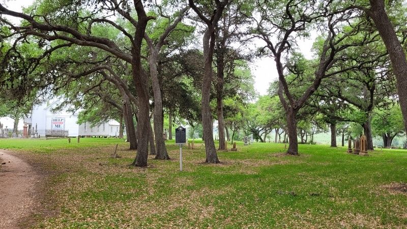
Mt. Zion Cemetery Marker image. Click for full size.
Photographed By James Hulse, April 2, 2023
2. Mt. Zion Cemetery Marker
The view of the Mt. Zion Cemetery and Marker from the street entrance image. Click for full size.
Photographed By James Hulse, April 2, 2023
3. The view of the Mt. Zion Cemetery and Marker from the street entrance
 
 
Credits. This page was last revised on April 6, 2023. It was originally submitted on April 5, 2023, by James Hulse of Medina, Texas. This page has been viewed 62 times since then and 12 times this year. Photos:   1, 2, 3. submitted on April 6, 2023, by James Hulse of Medina, Texas.
Share this page.  
Share on Tumblr
m=219855

CeraNet Cloud Computing sponsors the Historical Marker Database.
This website earns income from purchases you make after using our links to Amazon.com. We appreciate your support.
Paid Advertisement
Apr. 23, 2024