West Los Angeles in Los Angeles County, California — The American West (Pacific Coastal)
Veterans Administration Center
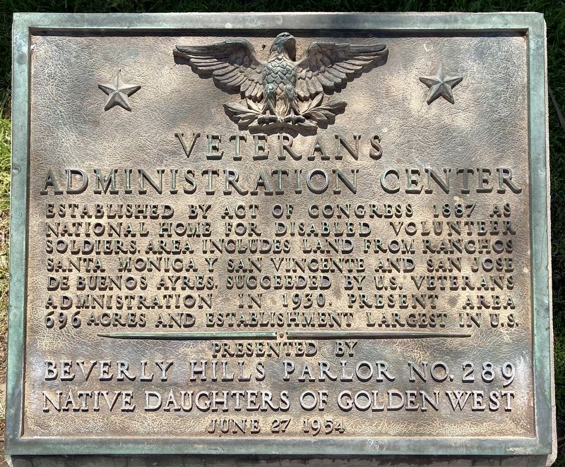
Photographed by Craig Baker, April 1, 2023
1. Veterans Administration Center Marker
Erected 1954 by Beverly Hills Parlor No. 289 Native Daughters of Golden West.
Topics and series. This historical marker is listed in these topic lists: Military • Science & Medicine. In addition, it is included in the Native Sons/Daughters of the Golden West series list. A significant historical year for this entry is 1887.
Location. 34° 3.325′ N, 118° 27.359′ W. Marker is in Los Angeles, California, in Los Angeles County. It is in West Los Angeles. It is on Eisenhower Avenue just west of Bonsall Avenue, on the left when traveling west. Touch for map. Marker is at or near this postal address: 11301 Wilshire Blvd, Los Angeles CA 90073, United States of America. Touch for directions.

Regionally, this marker is in the Transverse Ranges. It is also on the American Pacific Coast. Globally, it is in North America, on the Ring
this page online
Other nearby markers. At least 8 other markers are within walking distance of this marker: U.S.S. Maine Memorial (about 800 feet away, measured in a direct line); Coral Trees (approx. 0.4 miles away); Chris Carr (approx. half a mile away); Address by President Lincoln (approx. half a mile away); A National Cemetery System (approx. half a mile away); Aidin's Place Playground (approx. half a mile away); Los Angeles National Cemetery (approx. 0.6 miles away); El Paseo Building (approx. 0.7 miles away). Touch for a list and map of all markers in Los Angeles.
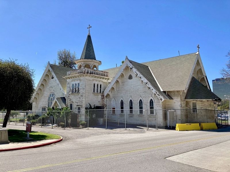
Photographed by Craig Baker, April 1, 2023
2. Veterans Administration Center Marker
The marker is on the pedestal at far left. Wadsworth Chapel was built in 1900. Closed after damaged by the 1971 Sylmar earthquake. Oldest building on Wilshire Blvd. Listed on the National Register of Historic Places in 1972.
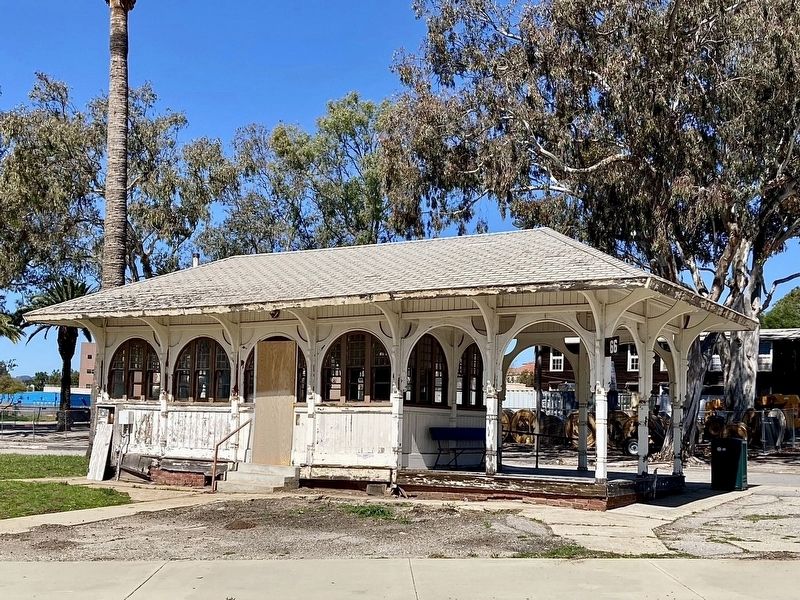
Photographed by Craig Baker, April 1, 2023
3. West Los Angeles Streetcar Depot
Designed by J. Lee Burton in 1900 in conjunction with the Wadsworth Chapel. Both were added to the National Register of Historic Places in 1972.
Credits. This page was last revised on June 11, 2025. It was originally submitted on April 6, 2023, by Craig Baker of Sylmar, California. This page has been viewed 283 times since then and 17 times this year. Photos: 1, 2, 3. submitted on April 6, 2023, by Craig Baker of Sylmar, California.
