Rochester in Oakland County, Michigan — The American Midwest (Great Lakes)
2007-2017
Photographed by Joel Seewald, October 22, 2022
1. 2007-2017 Marker
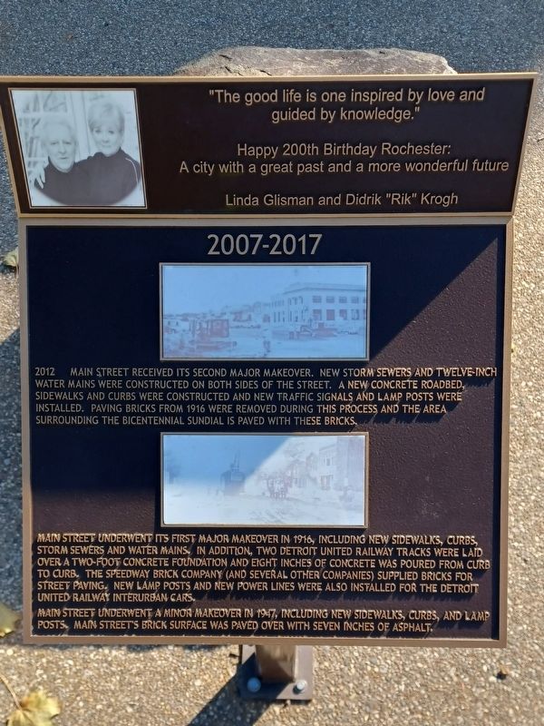
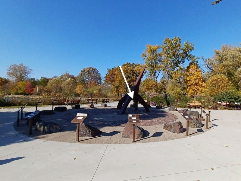
2012 Main Street received its second major makeover. New storm sewers and twelve-inch water mains were constructed on both sides of the street. A new concrete roadbed, sidewalks and curbs were constructed and new traffic signals and lamp posts were installed. Paving bricks from 1916 were removed during this process and the area surrounding the Bicentennial Sundial is paved with these bricks.
Main Street underwent its first major makeover in 1916, including new sidewalks, curbs, storm sewers and water mains. In addition, two Detroit United Railway tracks were laid over a two-foot concrete foundation and eight inches of concrete was poured from curb to curb. The Speedway Brick Company (and several other companies) supplied bricks for street paving. New lamp posts and new power lines were also installed for the Detroit United Interurban cars.
Main Street underwent a minor makeover in 1947, including new sidewalks, curbs, and lamp posts. Main Street's brick surface was paved over with seven inches of asphalt.
guided by knowledge."
Happy 200th Birthday Rochester:
A city
this page online
Linda Glisman and Didrik "Rik" Krogh
Erected 2017.
Topics. This historical marker is listed in this topic list: Roads & Vehicles. A significant historical year for this entry is 2012.
Location. 42° 41.036′ N, 83° 8.212′ W. Marker is in Rochester, Michigan, in Oakland County. It can be reached from Sith Street. Marker is in Rochester Municipal Park at the southeast end near Pine Street — between the parking lot and the pond. Touch for map. Marker is at or near this postal address: 400 Sith St, Rochester MI 48307, United States of America. Touch for directions.

Regionally, this marker is in Southeast Michigan and in Greater Detroit. It is also in the American Midwest. Globally, it is in North America, the Western Hemisphere, the Western World, and the Anglosphere. Historically, it finds itself in what was once the Northwest Territory.
Other nearby markers. At least 8 other markers are within walking distance of this marker: 1997-2007 (here, next to this marker); 1817-1827 (here, next to this marker); 1987-1997 (here, next to this marker); 1827-1837 (here, next to this marker);
Photographed by Joel Seewald, October 22, 2022
2. 2007-2017 Marker
Photographed by Joel Seewald, October 22, 2022
3. Rochester Golden Bicentennial Monument plaque
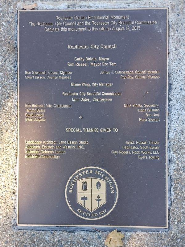
Marker is part of the Rochester Golden Bicentennial Monument.
Credits. This page was last revised on April 7, 2023. It was originally submitted on April 7, 2023, by Joel Seewald of Madison Heights, Michigan. This page has been viewed 143 times since then and 9 times this year. Photos: 1, 2, 3. submitted on April 7, 2023, by Joel Seewald of Madison Heights, Michigan.
