Schriever in Terrebonne Parish, Louisiana — The American South (West South Central)
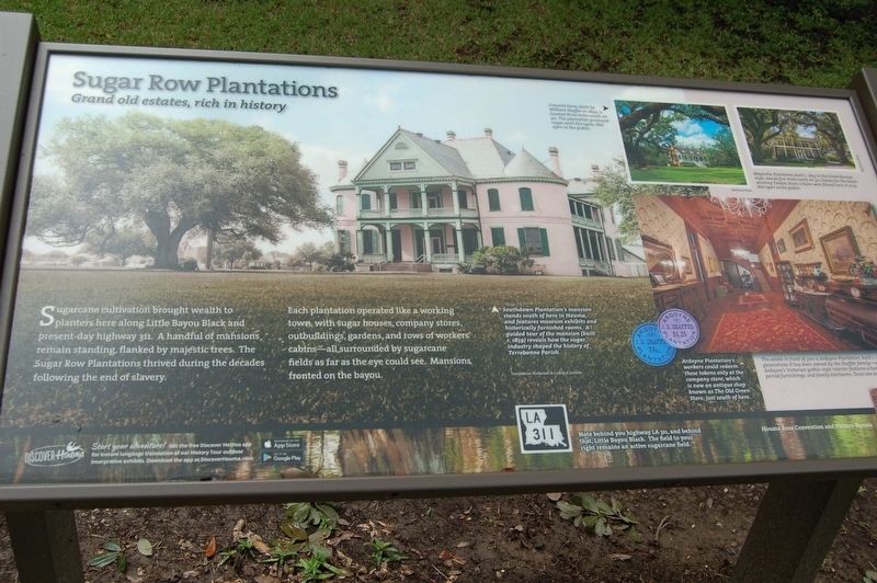
Sugar Row Plantations
Grand old estates, rich in history
Photographed by Cajun Scrambler, September 2, 2018
1. Sugar Row Plantations Marker
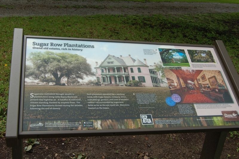
Sugarcane cultivation brought wealth to planters here along Bayou Black and present-day highway 311. A handful of mansions remain standing, flanked by majestic trees. The Sugar Row Plantations thrived during the decades following the end of slavery.
Each plantation operated like a working town with sugar houses, company stores, outbuildings, gardens, and rows of workers' cabins- all surrounded by sugarcane fields as far as the eye could see. Mansions fronted the bayou.
Photo captions left to right -
Southdown Plantation's mansion stands south of here in Houma, and features museum exhibits and historically furnished rooms. A guided tour of the mansion (built c. 1859) reveals how the sugar industry shaped the history of Terrebonne Parish.
Note behind you highway LA 311, and behind that, Little Bayou Black. The field to your right remains an active sugarcane field.
Ardoyne Plantation's workers could redeem these tokens only at the company store, which is now an antique shop known as The Old Green Store, just south of here.
The estate in front of you is Ardoyne Plantation built c. 1894. For six generations, it has been owned by the Shaffer family - who still live here. Ardoyne's Victorian gothic-style interior features a hand-painted staircase, period furnishings, and family heirlooms. Tours are available.
Magnolia Plantation, build c. 1855 in the Greek Revival style, stands five miles north on 311. Scenes for the Oscar-winning Twelve Years a Slave were filmed here in 2013. Not open to the public.
Crescent Farm, built by William Shaffer in 1849, is located three miles south on 311. The plantation produced sugar until the 1920s. Not open to the public.
Erected 2018.
this page online
Topics. This historical marker is listed in these topic lists: Agriculture • Architecture • Industry & Commerce • Settlements & Settlers.
Location. 29° 39.028′ N, 90° 49.127′ W. Marker is in Schriever, Louisiana, in Terrebonne Parish. It is on Highway 20 (State Highway 311) north of Ardoyne Plantation Court, on the right when traveling south. Touch for map. Marker is at or near this postal address: 2678 LA-311, Schriever LA 70395, United States of America. Touch for directions.

Regionally, this marker is in Louisiana’s Acadiana — Cajun Country and specifically in Bayou Country. It is also in the American South, specifically in the Deep South, and on the Gulf Coast. Globally, it is in North America, a Gulf of Mexico state, the Western Hemisphere, the Western World, and the Anglosphere. Historically, it finds itself in what was once New Spain, Acadia, the territory of the Mississippian Culture, the Louisiana Purchase, one of the Confederate States of America, and the Antebellum South.
Other nearby markers. At least 8 other markers are within 7
Photographed by Cajun Scrambler, September 2, 2018
2. Sugar Row Plantations Marker
Another marker is no longer nearby. Southdown Plantation House (was approx. 6.3 miles away but has been confirmed missing).
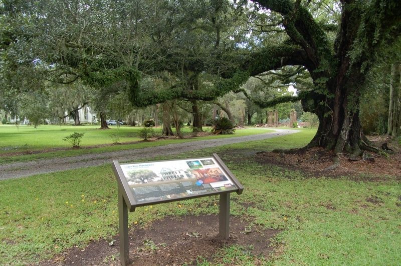
More about this marker. The marker is located on the grounds of the Ardoyne Plantation.
Photographed by Cajun Scrambler, September 2, 2018
3. Sugar Row Plantations Marker
Credits. This page was last revised on April 11, 2023. It was originally submitted on September 16, 2018, by Cajun Scrambler of Assumption, Louisiana. This page has been viewed 1,043 times since then and 128 times this year. Last updated on April 10, 2023, by Laura A Browning of Montegut, Louisiana. Photos: 1, 2, 3. submitted on September 16, 2018. • J. Makali Bruton was the editor who published this page.
