Alvarado in Johnson County, Texas — The American South (West South Central)
Site of Norman Springs & Norman Grove
Photographed by James Hulse, April 7, 2023
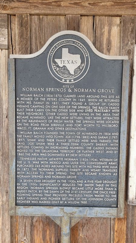
1. Site of Norman Springs & Norman Grove Marker
William Balch founded the town of Alvarado in 1854 and the family moved into town. Joe (1798-1882) and Sarah (1797-1897) Shaw and their family settled here and farmed the land. Joe Shaw was a three-term county sheriff. With settlers coming in increasing numbers, the Caddo Indians moved to the Oklahoma Territory or further west, and by 1860 the area was dominated by new settlers.
Tennessee native Lafayette Norman (1826-1904), veteran of the U.S. War with Mexico and later the Confederate Army, purchased 245 acres around this site with his third wife Julia in 1872. The Normans supplied thirsty and weary travelers with access to their spring; the site became known as Norman Springs and Norman Grove.
A seven-year drought in the 1930s and a five-year drought in the 1950s significantly reduced the water table in this region. Norman Springs slowly became little more than a muddy patch. By the dawn of the 21st century, the once free-flowing spring that provided priceless fresh water to the early Indians and pioneer settlers of the Johnson County frontier was marked only by a willow tree.
Erected 2000 by Texas Historical Commission. (Marker Number 12354.)
Topics. This historical marker is listed in these topic lists: Indigenous Peoples and Communities
this page online
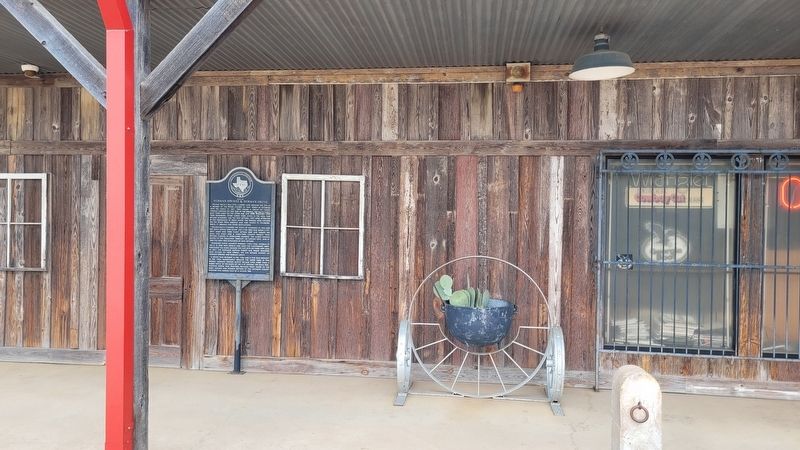
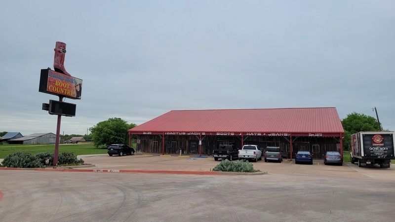
Location. 32° 25.003′ N, 97° 13.767′ W. Marker is in Alvarado, Texas, in Johnson County. It is on East Henderson Street (U.S. 67) 0.1 miles west of Purple Heart Trail (Interstate 35W), on the right when traveling west. The marker is located at the left side of the entrance to a boot store. Touch for map. Marker is at or near this postal address: 6921 US 67, Alvarado TX 76009, United States of America. Touch for directions.

Regionally, this marker is in the Prairies & Lakes Region and in the Dallas-Fort Worth Metropolitan Area. Globally, it is in North America, a Gulf of Mexico state, the Western Hemisphere, the Western World, and the Anglosphere. Historically, it finds itself in what was once New Spain, the Republic of Texas, and one of the Confederate States of America.
Other nearby markers. At least 8 other markers are within 2 miles of this marker, measured as the crow flies: Alvarado Glenwood Cemetery (approx. 0.6 miles away); Johnson County Pioneers and Old Settlers Reunion (approx. 0.7 miles away); Site of Alvarado School, Church and Union Building
Photographed by James Hulse, April 7, 2023
2. The Site of Norman Springs & Norman Grove Marker on the front porch to the boot store
Photographed by James Hulse, April 7, 2023
3. The view from the street of the boot store with the marker on the porch
The marker is located at the left side of the front porch.
Credits. This page was last revised on April 12, 2023. It was originally submitted on April 11, 2023, by James Hulse of Medina, Texas. This page has been viewed 521 times since then and 55 times this year. Photos: 1, 2, 3. submitted on April 12, 2023, by James Hulse of Medina, Texas.
