
Northridge in Los Angeles in Los Angeles County, California — The American West (Pacific Coastal)
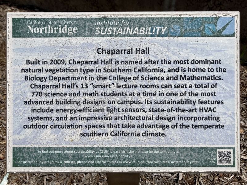
Chaparral Hall
California State University Northridge
Photographed by Craig Baker, April 11, 2023
1. Chaparral Hall Marker
Erected by California State University Northridge.
Topics. This historical marker is listed in these topic lists: Architecture • Education • Science & Medicine. A significant historical year for this entry is 2009.
Location. 34° 14.279′ N, 118° 31.634′ W. Marker is in Los Angeles, California, in Los Angeles County. It is in Northridge. It is on Lindley Avenue 0.1 miles north of Nordhoff Street, on the right when traveling north. Touch for map. Marker is at or near this postal address: 18111 Nordhoff St, Northridge
this page online

Regionally, this marker is in California’s The Valley (the San Fernando Valley) and in the Transverse Ranges. It is also on the American Pacific Coast. Globally, it is in North America, on the Ring of Fire, in the Pacific Rim, in the Western Hemisphere, in the Western World, and in the Anglosphere. Historically, it finds itself in what was once New Spain and also Mexico’s Alta California.
Other nearby markers. At least 8 other markers are within one mile of this marker, measured as the crow flies: Botanic Garden (about 300 feet away, measured in a direct line); Earthquake Garden (about 400 feet away); Orange Grove (about 400 feet away); CSUN Flagpole (about 500 feet away); Younes & Soraya Nazarian Center for the Performing Arts (about 500 feet away); The Storm at Valley State (approx. 0.2 miles away); Valley Life Baptist Church (approx. ¾ mile away); Frank Knapp Sr. (approx. one mile away). Touch for a list and map of all markers in Los Angeles.
Photographed by Craig Baker, April 11, 2023
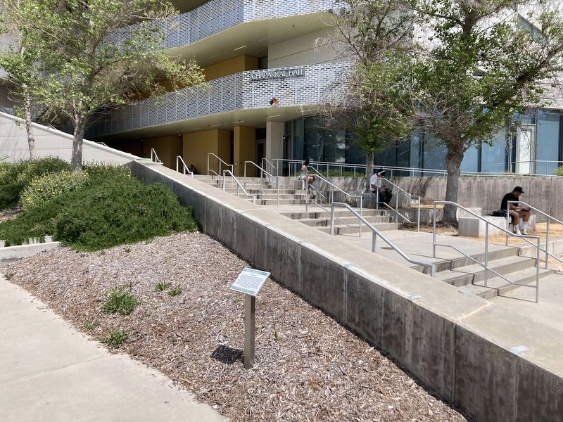
2. Chaparral Hall and Marker
Photographed by Craig Baker, April 11, 2023
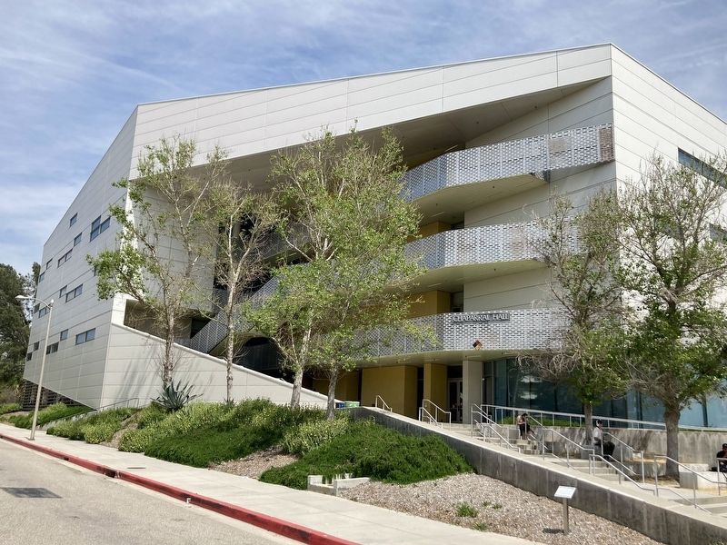
3. Chaparral Hall
Credits. This page was last revised on May 21, 2023. It was originally submitted on April 12, 2023, by Craig Baker of Sylmar, California. This page has been viewed 388 times since then and 31 times this year. Photos: 1, 2, 3. submitted on April 12, 2023, by Craig Baker of Sylmar, California.
