Plano in Collin County, Texas — The American South (West South Central)
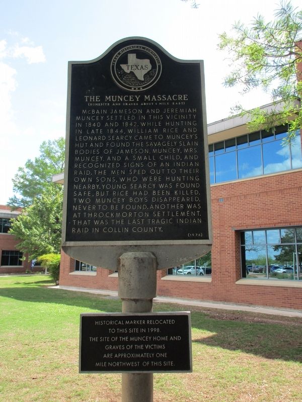
The Muncey Massacre
(Homesite and Graves About 1 Mile East)
Supplemental plaque added 1998: Historical marker relocated to this site in 1998. The site of the Muncey home and graves of the victims are approximately one mile northwest of this site.
Erected 1976 by Texas Historical Commission. (Marker Number 6187.)
Topics. This historical marker is listed in these topic lists: Native Americans • Settlements & Settlers • Wars, US Indian.
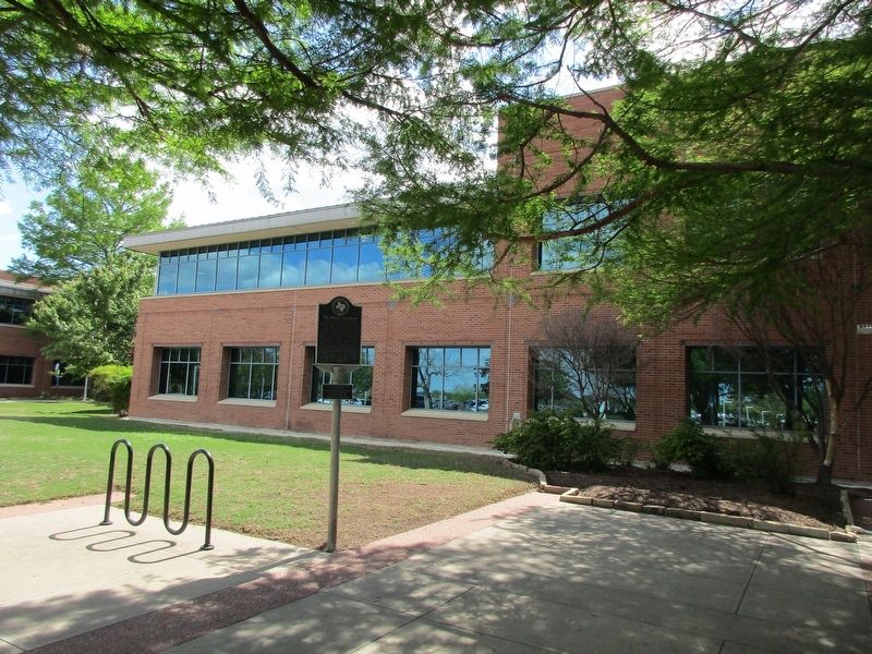
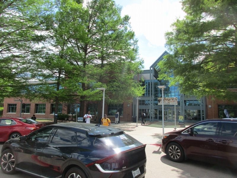
Location. 33° 3.029′ N, 96° 40.579′ W. Marker is in Plano, Texas, in Collin County. Marker is on East Spring Creek Parkway, 0.4 miles north of Parker Road, on the left when traveling north. On Collin County Community College Spring Creek campus. Touch for map. Marker is at or near this postal address: 2800 Spring Creek Pkwy, Plano TX 75074, United States of America. Touch for directions.
Other nearby markers. At least 8 other markers are within 3 miles of this marker, measured as the crow flies. First Methodist Church of Plano (approx. half a mile away); First Presbyterian Church of Plano (approx. 2.1 miles away); Saigling House (approx. 2˝ miles away); Mathews General Store (approx. 2˝ miles away); Plano National Bank / I.O.O.F. Lodge Building (approx. 2.6 miles away); Plano High School and Gymnasium (approx. 2.6 miles away); Texas Electric Railway Station (approx. 2.6 miles away); First Christian Church of Plano (approx. 2.6 miles away). Touch for a list and map of all markers in Plano.
Credits. This page was last revised on April 15, 2023. It was originally submitted on April 13, 2023, by Jeff Leichsenring of Garland, Texas. This page has been viewed 359 times since then and 142 times this year. Photos: 1, 2, 3. submitted on April 13, 2023, by Jeff Leichsenring of Garland, Texas. • James Hulse was the editor who published this page.


